2000s (21st Century) Maps of Broadway, Washington
Explore 6 historic maps of Broadway from the 2000s (21st Century). These maps offer a rare glimpse into what life looked like during the 2000s — showing old roads, neighborhoods, homes, and landmarks that have changed or disappeared over time.
Whether you're researching your family's past, planning a metal detecting trip, or studying how Broadway's landscape evolved across the 2000s, these high-resolution maps are a powerful tool for exploring the history of this region.
- Focus on a specific era: All maps on this page are from the 2000s, giving you a focused view of this time period.
- See what’s changed: Compare century-old streets, trails, and buildings to today's modern landscape using overlays and satellite layers.
- Research with precision: Use these maps for genealogy, historical research, land use analysis, or educational projects.
- View, download, or print: Maps are fully viewable online in high resolution, and can be downloaded or printed for your own records.
Start exploring Broadway's history through authentic maps from the 2000s. This is your window into the past.
Broadway, WA maps
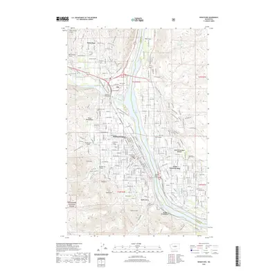
(6)- 2003 Map of Wenatchee, 2006 Print
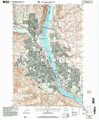 2003 Wenatchee2006 Print · USGSWenatchee and the Columbia River valley are shown here at the turn of the millennium as a thriving hub of orchards and industry. Researchers can trace rail history at Appleyard, local mining at Golden King Mine, or local genealogy at Wenatchee Cem.
 - 2011 Map of Wenatchee, 2011 Print
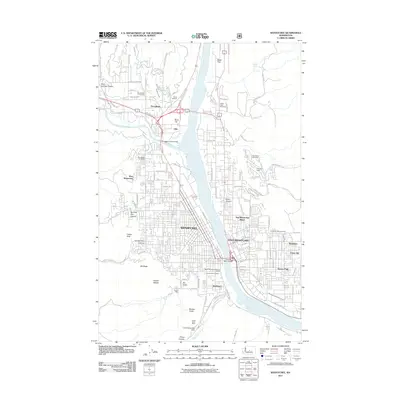 2011 Wenatchee2011 Print · USGSCovers Broadway, including Wenatchee, East Wenatchee, and other nearby areas
 - 2014 Map of Wenatchee, 2014 Print
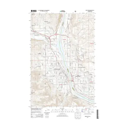 2014 Wenatchee2014 Print · USGSCovers Broadway, including Wenatchee, East Wenatchee, and other nearby areas
 - 2017 Map of Wenatchee, 2017 Print
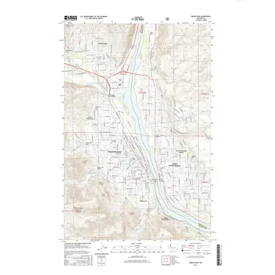 2017 Wenatchee2017 Print · USGSCovers Broadway, including Wenatchee, East Wenatchee, and other nearby areas
 - 2020 Map of Wenatchee, 2020 Print
 2020 Wenatchee2020 Print · USGSCovers Broadway, including Wenatchee, East Wenatchee, and other nearby areas
 - 2023 Map of Wenatchee, 2023 Print
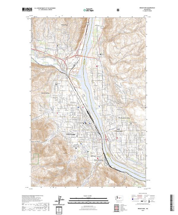 2023 Wenatchee2023 Print · USGSThe river valley at Wenatchee comes alive in this contemporary survey, showing the complex network of canals and benches along the Columbia River. Researchers can locate family sites and civic landmarks like the Chelan County Courthouse, Wenatchee Cem, and Sunnyslope.
End of results
Showing maps 1-6 of 6
Top cities near Broadway
- Wenatchee historical maps
- East Wenatchee historical maps
- Cashmere historical maps
- Waterville historical maps
- Rock Island historical maps
Frequently asked questions
- What are the different types of historical maps available for Broadway?
- What is the oldest map of Broadway?
- Where can I purchase historical maps of Broadway for my home or office?
- Where can I download high-res historical maps of Broadway?
- Are there historical topographic maps available for Broadway?
- Is there historical aerial imagery available for Broadway?
- Where are historical maps of Broadway sourced from?