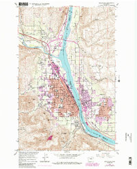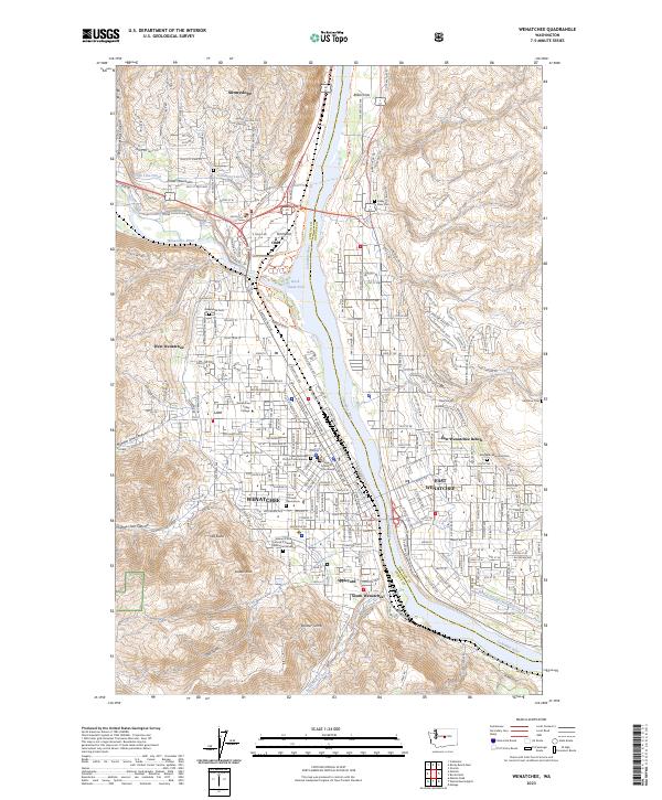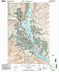
2003 Map of Wenatchee
USGS Topo · Published 2006About this map
The Columbia River serves as the central artery for this region, dividing the city of Wenatchee in Chelan County from East Wenatchee in Douglas County. By the early 2000s, the urban landscape reflects a complex economy of agriculture, industry, and education. The presence of the Washington State Univ Tree Fruit Experiment Station and various orchards near Sunnyslope underscores the area's significance in pomology, while the tracks of the Burlington Northern Santa Fe and the rail yards at Appleyard highlight its role as a transportation hub.
Find a feature on this map
41 named features on this map. Tap any name to fly to it.
Don’t see what you’re looking for? This feature index may not catch every label — zoom into the map to look around manually.
Map Details
Editions of this 2003 Wenatchee Map
This is the sole edition of this map. No revisions or reprints were ever made.
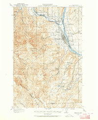
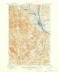
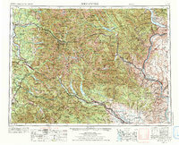
Historical Maps of Wenatchee Through Time
7 maps found