
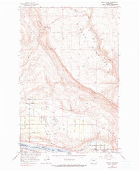
1966 Map of Rock Island
USGS Topo · Published 1967About this map
Badger Mountain dominates the northern landscape of this Douglas County quadrangle, descending sharply into the river valley where the Columbia River forms the natural boundary between Douglas and Chelan counties. In the mid-1960s, the area south of the mountain was defined by a transition from high-elevation ridgelines to the structured agricultural and aviation developments around Pangborn Field. The map reveals a community organized around transit and irrigation, with numerous reservoirs and pumping stations supporting the orchards and fields that line the riverbanks.
Find a feature on this map
30 named features on this map. Tap any name to fly to it.
Don’t see what you’re looking for? This feature index may not catch every label — zoom into the map to look around manually.
Map Details
Editions of this 1966 Rock Island Map
2 editions found
Other maps of this area

1901 · Chelan
USGS Topo · 1:125,000

1912 · Malaga
USGS Topo · 1:48,000

1913 · Wenatchee
USGS Topo · 1:62,500

1914 · Malaga
USGS Topo · 1:62,500

1915 · Wenatchee
USGS Topo · 1:62,500

1920 · Colockum Pass
USGS Topo · 1:125,000

1922 · Colockum Pass
USGS Topo · 1:125,000

1957 · Wenatchee
USGS Topo · 1:250,000
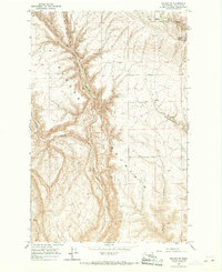
1966 · Malaga NE
USGS Topo · 1:24,000

1966 · Wenatchee
USGS Topo · 1:24,000