
1966 Map of Wenatchee
USGS Topo · Published 1968About this map
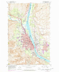
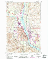
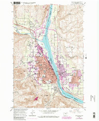
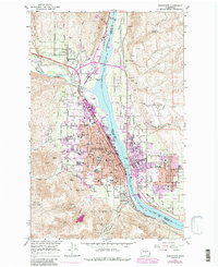
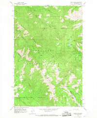
Wenatchee and its surrounding orchard lands are shown in high detail during the mid-1960s, a period where the city's role as a regional hub for the Columbia River basin was fully established. The city's core is densely developed, stretching from the banks of the Columbia River westward into the foothills, with prominent landmarks such as Wenatchee Valley Jr College, Deaconess Hosp, and the Armory anchoring the street grid. Across the river, East Wenatchee shows early suburban expansion around Kenroy Park. The industrial and transport backbone is clearly defined by the Great Northern railroad lines which serve the packing and shipping needs of the region, specifically at Appleyard. Beyond the residential areas, the map captures the transition to agricultural and mineral lands, including Birch Flat and the Golden King Mine tucked into the southern hills near Squilchuck Creek.
Find a feature on this map
67 named features on this map. Tap any name to fly to it.
Don’t see what you’re looking for? This feature index may not catch every label — zoom into the map to look around manually.
Map Details
Editions of this 1966 Wenatchee Map
5 editions found
Other maps of this area

1901 · Chelan
USGS Topo · 1:125,000

1912 · Malaga
USGS Topo · 1:48,000

1913 · Wenatchee
USGS Topo · 1:62,500

1914 · Malaga
USGS Topo · 1:62,500

1915 · Wenatchee
USGS Topo · 1:62,500

1920 · Colockum Pass
USGS Topo · 1:125,000

1922 · Colockum Pass
USGS Topo · 1:125,000

1957 · Wenatchee
USGS Topo · 1:250,000

1966 · Rock Island
USGS Topo · 1:24,000
1966 · Mission Peak
USGS Topo · 1:24,000