Loading...
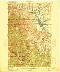
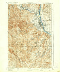
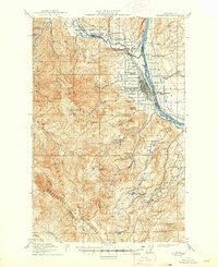
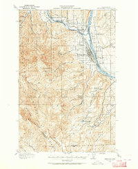
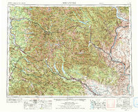
Loading map...1915 Map of Wenatchee
USGS Topo · Published 1915About this map
Wenatchee and its surrounding orchards occupy the bend where the Wenatchee River meets the Columbia River during this early 20th-century survey. The local landscape is defined by its transition from irrigated valley flats to the high ridges of the Wenatchee Mountains. Early infrastructure is prominent, including the Great Northern railroad line following the riverbank and the Old Ellensburg Trail winding through the southern heights.
Find a feature on this map
49 named features on this map. Tap any name to fly to it.
Don’t see what you’re looking for? This feature index may not catch every label — zoom into the map to look around manually.
Map Details
Date Portrayed1915
Date Published1915
PublisherU.S. Geological Survey
Map TypeTopographic
Scale1:62,500
Physical Dimensions16.5 x 19.91 inches
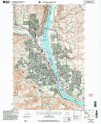
Editions of this 1915 Wenatchee Map
3 editions found
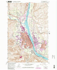
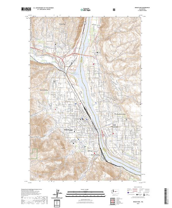
Historical Maps of Wenatchee Through Time
7 maps found

Featured Locations
Source Details
SourceU.S. Geological Survey
CopyrightPublic Domain