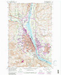
1966 Map of Wenatchee
USGS Topo · Published 1988About this map
The Columbia River serves as the central artery and county boundary for this mid-1960s study, dividing Wenatchee in Chelan Co from East Wenatchee in Douglas Co. The landscape reveals a complex network of schools and civic infrastructure, including Wenatchee Valley Jr College, St Josephs Sch, and the Parkside Manor Nursing Home. Industrial and transport footprints are prominent along the riverbanks, particularly at Appleyard where the Burlington Northern railroad lines converge.
Find a feature on this map
58 named features on this map. Tap any name to fly to it.
Don’t see what you’re looking for? This feature index may not catch every label — zoom into the map to look around manually.
Map Details
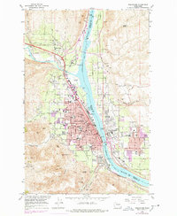
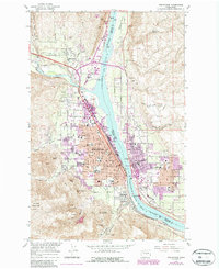
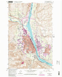
Editions of this 1966 Wenatchee Map
5 editions found
Other maps of this area

1901 · Chelan
USGS Topo · 1:125,000

1912 · Malaga
USGS Topo · 1:48,000

1913 · Wenatchee
USGS Topo · 1:62,500

1914 · Malaga
USGS Topo · 1:62,500

1915 · Wenatchee
USGS Topo · 1:62,500

1920 · Colockum Pass
USGS Topo · 1:125,000

1922 · Colockum Pass
USGS Topo · 1:125,000

1957 · Wenatchee
USGS Topo · 1:250,000

1966 · Rock Island
USGS Topo · 1:24,000

1966 · Wenatchee
USGS Topo · 1:24,000