Old Maps of Karamin, Washington for Genealogy
Trace your family roots with 13 historic maps of Karamin. These high-res maps reveal old neighborhoods, homesites, landmarks, and streets — helping you uncover where your ancestors lived and how the area evolved over time.
- Explore historic neighborhoods: Identify where your relatives may have lived in the 1800s or 1900s.
- Compare maps over time: Trace the changes in streets, buildings, and landmarks for multi-generational research.
- Perfect for genealogy & ancestry research: Used by family historians and researchers to map out lineage and migration.
These maps are an incredible resource for exploring your personal connection to Karamin's past.
Karamin, WA maps
(13)- 1904 Map of Republic
 1904 Republic1904 Print · USGSFerry County was at the height of its gold boom in the early nineteen-hundreds, anchored by the rapid growth of Republic. Genealogists and historians can trace the early rail stops and mine sites of the era, from the Lone Star Mine to the depot at Seward Station.4 unique versions available
 - 1948 Map of Curlew
 1948 Curlew1948 Print · USGSFerry County’s river-and-rail corridor is captured here in the late 1940s, showing the vital connection between the Canadian border and the interior. Researchers can trace the Great Northern line through Curlew and Danville, or locate family-named features like Lundimo Meadows and St Peter Cr.3 unique versions available
 - 1951 Map of Curlew
 1951 Curlew1951 Print · USGSThe upper Kettle River valley near the Canadian border is shown in the early fifties, where the Great Northern railroad connects mountain outposts. Trace old routes through Curlew and Malo, or locate high-country features like the Vulcan Lookout and Lundimo Meadows.2 unique versions available
 - 1954 Map of Okanogan, 1964 Print
 1954 Okanogan1964 Print · USGSNorth Central Washington’s interior comes into focus during the mid-fifties, showing the rise of the Columbia River reservoir system. Genealogists and historians can trace the Great Northern rail line and locate historical mining operations at the Mountain Lion Mine or Gold Hill Mine.2 unique versions available
 - 1958 Map of Okanogan
 1958 Okanogan1958 Print · USGSThe Okanogan River valley and the Colville Indian Reservation are shown here in the late fifties, during a period of established river and rail commerce. Researchers can trace the Great Northern line through Oroville or locate landmarks like the Knowlton School and Orient Ranger Station.
 - 1984 Map of Republic
 1984 Republic1984 Print · USGSThe Okanogan Highlands and Kettle River Range are shown in the mid-1980s, documenting a landscape shaped by mining and timber. Genealogists can trace old settlements like Bodie and Toroda, or locate historic workings such as the Knob Hill Mine and First Thought Mine.
 - 1988 Map of Karamin
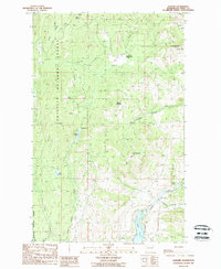 1988 Karamin1988 Print · USGSFerry County’s high timber country in the late eighties is shown here in detail before modern digital mapping. Genealogists and historians can locate the small settlements of Karamin and Emanuel or trace the drainage of Trout Creek and Empire Creek.
 - 1992 Map of Karamin, 1996 Print
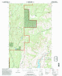 1992 Karamin1996 Print · USGSFerry County’s high-country terrain is captured here in the early nineties, showing a landscape defined by the timber and water of the Colville National Forest. Researchers can trace old property lines at Indian Allotment sites and locate landmarks like the Lookout on Franson Peak or the settlement of Karamin.
 - 2011 Map of Karamin, 2011 Print
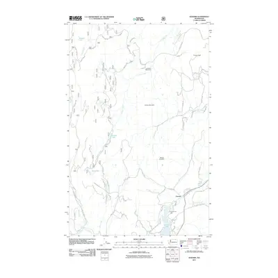 2011 Karamin2011 Print · USGSCovers Karamin, including Ferry County, United States, and other nearby areas
 - 2014 Map of Karamin, 2014 Print
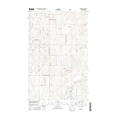 2014 Karamin2014 Print · USGSCovers Karamin, including Ferry County, United States, and other nearby areas
 - 2017 Map of Karamin, 2017 Print
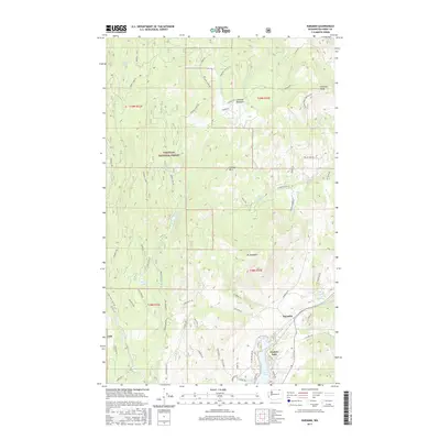 2017 Karamin2017 Print · USGSCovers Karamin, including Ferry County, United States, and other nearby areas
 - 2020 Map of Karamin, 2020 Print
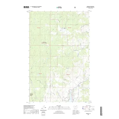 2020 Karamin2020 Print · USGSCovers Karamin, including Ferry County, United States, and other nearby areas
 - 2023 Map of Karamin, 2023 Print
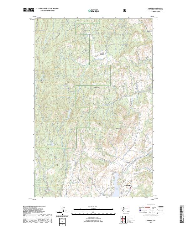 2023 Karamin2023 Print · USGSThe high country of Ferry County is captured here in the early twenty-first century, showing the intersection of mountain peaks and lake basins. Researchers can trace forest access and local landmarks from Karamin to the shores of Curlew Lake and Malo Lake.
End of results
Showing maps 1-13 of 13
Top cities near Karamin
Frequently asked questions
- What are the different types of historical maps available for Karamin?
- What is the oldest map of Karamin?
- Where can I purchase historical maps of Karamin for my home or office?
- Where can I download high-res historical maps of Karamin?
- Are there historical topographic maps available for Karamin?
- Is there historical aerial imagery available for Karamin?
- Where are historical maps of Karamin sourced from?