Old Maps of Keller, Washington for Metal Detecting
Plan your next treasure hunt with 10 historic maps of Keller. Find old homesites, ghost towns, trails, and gathering spots that may be lost to time — perfect for identifying promising metal detecting locations.
- Locate forgotten sites: Uncover places like long-lost settlements, abandoned rail lines, or gathering spots.
- Plan better hunts: Use map overlays combined with LiDAR or satellite views to narrow in on historically rich areas.
- Made for detectorists: Thousands of hobbyists use these maps to discover relics, coins, and hidden history.
Use these historic maps to boost your research and find new opportunities beneath the surface of Keller.
Keller, WA maps
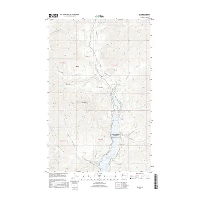
(10)- 1952 Map of Keller, 1953 Print
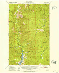 1952 Keller1953 Print · USGSThe mid-century landscape of the Colville Indian Reservation is captured here during a period of transition as the Sanpoil River valley met the rising waters of the new reservoir. Researchers can trace historical mining sites like Shamrock Mine and Pacific Mutual Mine, or locate early landmarks including the local Cem and French Johns Lake.3 unique versions available
 - 1954 Map of Okanogan, 1964 Print
 1954 Okanogan1964 Print · USGSNorth Central Washington’s interior comes into focus during the mid-fifties, showing the rise of the Columbia River reservoir system. Genealogists and historians can trace the Great Northern rail line and locate historical mining operations at the Mountain Lion Mine or Gold Hill Mine.2 unique versions available
 - 1958 Map of Okanogan
 1958 Okanogan1958 Print · USGSThe Okanogan River valley and the Colville Indian Reservation are shown here in the late fifties, during a period of established river and rail commerce. Researchers can trace the Great Northern line through Oroville or locate landmarks like the Knowlton School and Orient Ranger Station.
 - 1984 Map of Nespelem
 1984 Nespelem1984 Print · USGSThe Colville Indian Reservation and the Columbia River valley are shown here in the mid-1980s, just as modern recreation was shaping the landscape. Genealogists and researchers can locate old communities like Inchelium and Keller or trace mining history at the Germania Mine.
 - 1989 Map of Keller
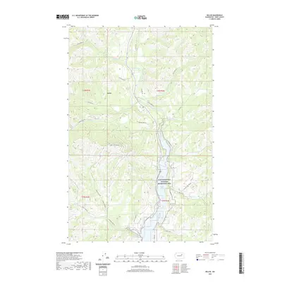
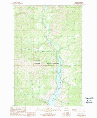 1989 Keller1989 Print · USGSThe Sanpoil River valley and the southern Colville Indian Reservation are documented here in the late 1980s. Local historians can trace the settlement at Keller and explore the industrial footprint of the region through labeled prospects, a substation, and the mine near Jack Creek.2 unique versions available
 - 2011 Map of Keller, 2011 Print
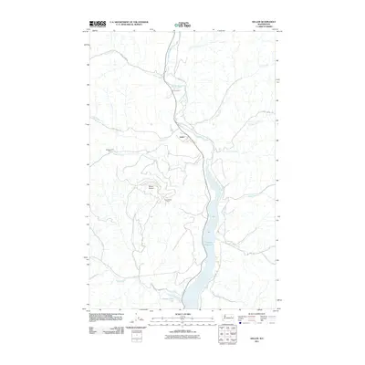 2011 Keller2011 Print · USGSCovers Keller, including Ferry County, United States, and other nearby areas
 - 2014 Map of Keller, 2014 Print
 2014 Keller2014 Print · USGSCovers Keller, including Ferry County, United States, and other nearby areas
 - 2017 Map of Keller, 2017 Print
 2017 Keller2017 Print · USGSCovers Keller, including Ferry County, United States, and other nearby areas
 - 2020 Map of Keller, 2020 Print
 2020 Keller2020 Print · USGSCovers Keller, including Ferry County, United States, and other nearby areas
 - 2023 Map of Keller, 2023 Print
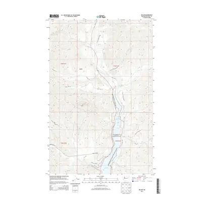
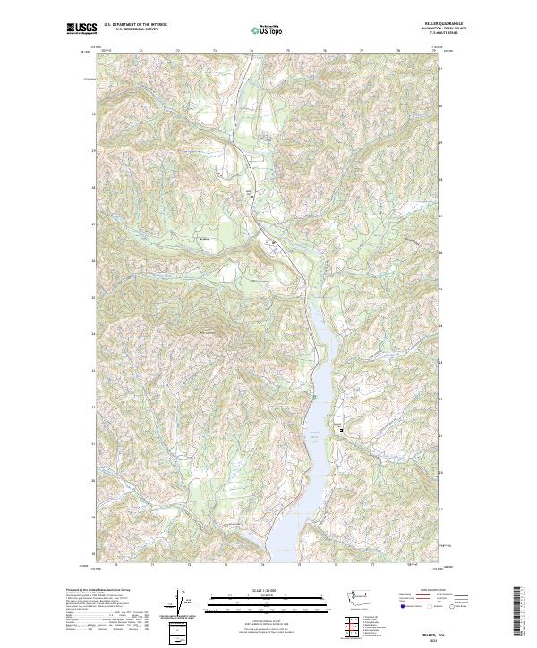 2023 Keller2023 Print · USGSThe Sanpoil River valley in Ferry County comes into focus in this contemporary survey of the Colville Reservation. Researchers can trace local heritage at Keller Cem and Sanpoil Cem, or follow backcountry routes like Manila Creek Rd near the slopes of Mt Tolman.
End of results
Showing maps 1-10 of 10
Top cities near Keller
Frequently asked questions
- What are the different types of historical maps available for Keller?
- What is the oldest map of Keller?
- Where can I purchase historical maps of Keller for my home or office?
- Where can I download high-res historical maps of Keller?
- Are there historical topographic maps available for Keller?
- Is there historical aerial imagery available for Keller?
- Where are historical maps of Keller sourced from?