Old Maps of Meteor, Washington for Hiking & Exploration
Hike through history with 10 historic maps of Meteor. Explore old trails, ghost towns, and forgotten backroads — perfect for outdoor adventurers and local explorers.
- Rediscover forgotten places: Map out old mining camps, roads, and footpaths that no longer exist on modern maps.
- Layer with modern tools: Combine with LiDAR or satellite views to plan hikes through historical terrain.
- Made for exploration: Popular among hikers, overlanders, and local history lovers.
Use these maps to find adventure and explore the hidden past of Meteor.
Meteor, WA maps
(10)- 1952 Map of Twin Lakes, 1953 Print
 1952 Twin Lakes1953 Print · USGSFerry County ranchlands and timbered ridges are captured here in the early fifties, showing the high-country landscape of the Colville Reservation. Researchers can trace remote sites like Meteor, Cornstalk, and the Hall Ranch (Site) near the Twin Lakes shoreline.2 unique versions available
 - 1954 Map of Okanogan, 1964 Print
 1954 Okanogan1964 Print · USGSNorth Central Washington’s interior comes into focus during the mid-fifties, showing the rise of the Columbia River reservoir system. Genealogists and historians can trace the Great Northern rail line and locate historical mining operations at the Mountain Lion Mine or Gold Hill Mine.2 unique versions available
 - 1958 Map of Okanogan
 1958 Okanogan1958 Print · USGSThe Okanogan River valley and the Colville Indian Reservation are shown here in the late fifties, during a period of established river and rail commerce. Researchers can trace the Great Northern line through Oroville or locate landmarks like the Knowlton School and Orient Ranger Station.
 - 1984 Map of Nespelem
 1984 Nespelem1984 Print · USGSThe Colville Indian Reservation and the Columbia River valley are shown here in the mid-1980s, just as modern recreation was shaping the landscape. Genealogists and researchers can locate old communities like Inchelium and Keller or trace mining history at the Germania Mine.
 - 1985 Map of Moon Mountain
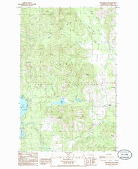 1985 Moon Mountain1985 Print · USGSThe Colville Indian Reservation and the Seyler Valley are shown in the mid-1980s, documenting a landscape of high ridges and lakeside settlements. Researchers can locate the Meteor community, the Lakeside Grange, and early irrigation works like the Twin Lakes Ditch.2 unique versions available
 - 2011 Map of Moon Mountain, 2011 Print
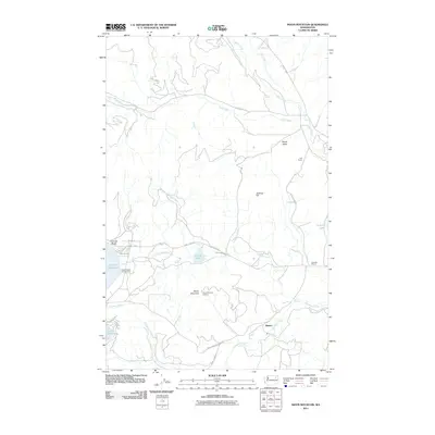 2011 Moon Mountain2011 Print · USGSCovers Meteor, including Ferry County, United States, and other nearby areas
 - 2014 Map of Moon Mountain, 2014 Print
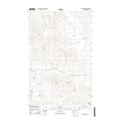 2014 Moon Mountain2014 Print · USGSCovers Meteor, including Ferry County, United States, and other nearby areas
 - 2017 Map of Moon Mountain, 2017 Print
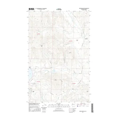 2017 Moon Mountain2017 Print · USGSCovers Meteor, including Ferry County, United States, and other nearby areas
 - 2020 Map of Moon Mountain, 2020 Print
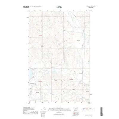 2020 Moon Mountain2020 Print · USGSCovers Meteor, including Ferry County, United States, and other nearby areas
 - 2023 Map of Moon Mountain, 2023 Print
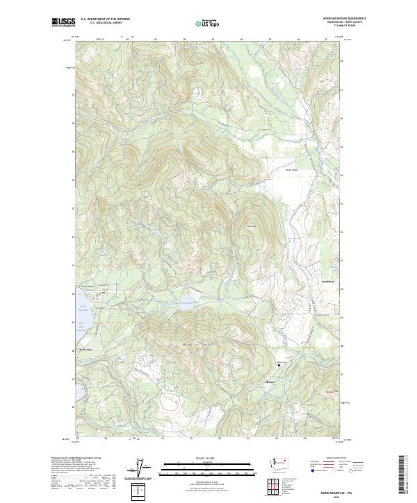 2023 Moon Mountain2023 Print · USGSThe High-altitude terrain of Ferry County comes alive in this 2023 survey. Researchers can trace the settlement at Meteor and the Meteor Cem, or follow the waters of Twin Lakes Reservoir and North Twin Lake.
End of results
Showing maps 1-10 of 10
Frequently asked questions
- What are the different types of historical maps available for Meteor?
- What is the oldest map of Meteor?
- Where can I purchase historical maps of Meteor for my home or office?
- Where can I download high-res historical maps of Meteor?
- Are there historical topographic maps available for Meteor?
- Is there historical aerial imagery available for Meteor?
- Where are historical maps of Meteor sourced from?