Old Maps of Dodge, Washington for Genealogy
Trace your family roots with 11 historic maps of Dodge. These high-res maps reveal old neighborhoods, homesites, landmarks, and streets — helping you uncover where your ancestors lived and how the area evolved over time.
- Explore historic neighborhoods: Identify where your relatives may have lived in the 1800s or 1900s.
- Compare maps over time: Trace the changes in streets, buildings, and landmarks for multi-generational research.
- Perfect for genealogy & ancestry research: Used by family historians and researchers to map out lineage and migration.
These maps are an incredible resource for exploring your personal connection to Dodge's past.
Dodge, WA maps
(11)- 1950 Map of Hay, 1956 Print
 1950 Hay1956 Print · USGSWhitman and Garfield counties are captured here in the mid-twentieth century as the regional economy revolved around the Snake River and its rail corridors. Genealogists and local historians can locate rural landmarks like the Selbu Church, the Pataha Valley Grange, and the Central Ferry crossing.2 unique versions available
 - 1952 Map of Hay
 1952 Hay1952 Print · USGSThe Snake River corridor in the early fifties shows a landscape of isolated ferry crossings and canyon-side rail lines. Genealogists can locate family landmarks like Selbu Church, the Pataha Valley Grange, and the old Central Ferry School.
 - 1955 Map of Pullman, 1963 Print
 1955 Pullman1963 Print · USGSThe Palouse and Clearwater regions are captured here in the mid-1950s, showing the height of the rail-and-river economy. Genealogists and historians can trace rail lines like the Camas Prairie RR, find local landmarks like Whitman County Memorial Cem, and locate early academic centers at Washington State University and the University of Idaho.3 unique versions available
 - 1958 Map of Pullman
 1958 Pullman1958 Print · USGSThe Palouse and Clearwater regions are captured here in the late fifties, showing the vital river-and-rail connection between eastern Washington and northern Idaho. Local historians can trace the paths of the Camas Prairie RR and Union Pacific RR as they serve towns like Colfax, Kamiah, and Nezperce.2 unique versions available
 - 1981 Map of Dodge
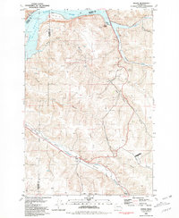 1981 Dodge1981 Print · USGSThe riverfront and rail corridors of Garfield County are captured here in the early eighties. Researchers can trace the Union Pacific line through the Pataha Valley or locate the Port of Garfield and the settlement of Dodge.
 - 1982 Map of Pullman
 1982 Pullman1982 Print · USGSThe Palouse region and Snake River valley are shown in the early eighties as the river navigation system matured. Trace the rail lines of the Union Pacific, locate rural centers like Johnson and Colton, and see the impact of the Lower Granite Dam.
 - 2011 Map of Dodge, 2011 Print
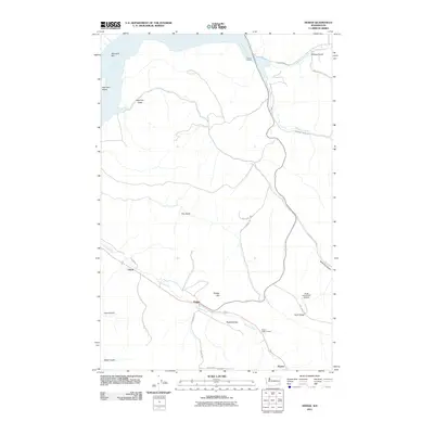 2011 Dodge2011 Print · USGSGarfield County’s agricultural and river-port landscape comes into focus during this early twenty-first-century survey. Genealogists and local historians can trace family land around Dodge, the Pataha Valley Grange, and riverfront sites like the Port of Garfield.
 - 2014 Map of Dodge, 2014 Print
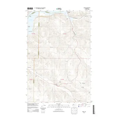 2014 Dodge2014 Print · USGSGarfield County agriculture and Snake River transport are central to this 2014 survey. Researchers can trace rural settlement patterns near Dodge, locate the Pataha Valley Grange, and find family-named landmarks like Kuhl Ridge and the Scott Seed Farm Airport.
 - 2017 Map of Dodge, 2017 Print
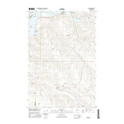 2017 Dodge2017 Print · USGSGarfield and Whitman counties meet at the river in this recent survey of the Washington interior. Genealogists and researchers can trace the roads and waterways connecting settlements like Dodge, Chard, and the historic Central Ferry landing.
 - 2020 Map of Dodge, 2020 Print
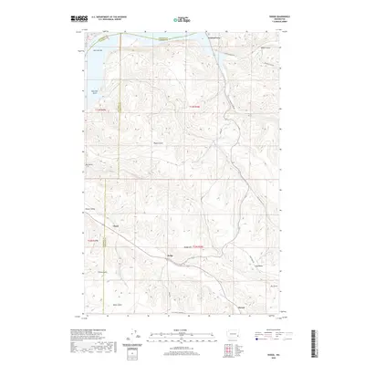 2020 Dodge2020 Print · USGSThe northern edge of the Palouse breaks into the breaks of the Snake River during this era of modern transport and agricultural tradition. Researchers can trace land use along the Pataha Valley, finding named points like Dodge, Central Ferry, and Chard.
 - 2023 Map of Dodge, 2023 Print
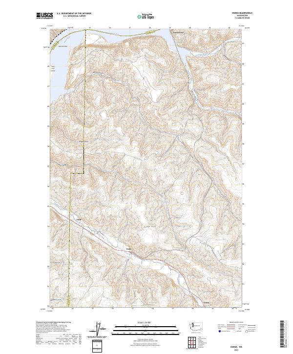 2023 Dodge2023 Print · USGSGarfield County high country meets the Snake River in this modern survey of the Pataha Valley. Trace the terrain from the river crossing at Central Ferry to the rural settlements of Dodge and Chard.
End of results
Showing maps 1-11 of 11
Top cities near Dodge
Frequently asked questions
- What are the different types of historical maps available for Dodge?
- What is the oldest map of Dodge?
- Where can I purchase historical maps of Dodge for my home or office?
- Where can I download high-res historical maps of Dodge?
- Are there historical topographic maps available for Dodge?
- Is there historical aerial imagery available for Dodge?
- Where are historical maps of Dodge sourced from?