Old Maps of Mentor, Washington
Explore 11 old maps of Mentor, spanning from 1943 to today. These high-resolution historic maps reveal how streets, neighborhoods, landmarks, and natural features evolved over time — perfect for genealogy, metal detecting, research, and local history exploration.
What you can do with these maps:
- See how Mentor changed over time: Compare historical maps to modern-day views to trace roads, homesites, rail lines & more.
- View detailed metadata: Each map includes creators, publishers, year, scale, and archive source.
- Overlay maps with satellite & LiDAR: Visualize the past alongside modern tools to explore terrain & human change.
- Trusted historical sources: Maps sourced from the USGS, Library of Congress, and other archives.
- Access maps your way: View online, download high-res files, or order prints for personal or research use.
Start exploring old maps of Mentor to uncover forgotten places, hidden landmarks, and the deep history beneath your feet.
Mentor, WA maps
(11)- 1943 Map of Peola
 1943 Peola1943 Print · USGSSoutheast Washington’s plateau and canyon country are captured here in the 1940s, showing the intersection of mountain timber and ranch land. Researchers can find old district schoolhouses like Philomathian Sch and trace family holdings such as Armstrong Ranch or the Iron Springs Guard Sta.
 - 1946 Map of Peola
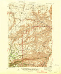 1946 Peola1946 Print · USGSGarfield County ranching and timber lands are captured here just after the war, showing a landscape of remote homesteads and mountain ridges. Genealogists can trace family landmarks like Robinson Ranch or rural school sites such as Philomathian Sch and School No 18.
 - 1955 Map of Pullman, 1963 Print
 1955 Pullman1963 Print · USGSThe Palouse and Clearwater regions are captured here in the mid-1950s, showing the height of the rail-and-river economy. Genealogists and historians can trace rail lines like the Camas Prairie RR, find local landmarks like Whitman County Memorial Cem, and locate early academic centers at Washington State University and the University of Idaho.3 unique versions available
 - 1958 Map of Pullman
 1958 Pullman1958 Print · USGSThe Palouse and Clearwater regions are captured here in the late fifties, showing the vital river-and-rail connection between eastern Washington and northern Idaho. Local historians can trace the paths of the Camas Prairie RR and Union Pacific RR as they serve towns like Colfax, Kamiah, and Nezperce.2 unique versions available
 - 1971 Map of Alpowa Ridge, 1974 Print
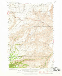
 1971 Alpowa Ridge1974 Print · USGSGarfield County in the early 1970s is shown here as a landscape of dramatic canyons and high ridges carved by Pataha Creek. Researchers can trace the legacy of the Peola community through landmarks like the Philomathian School and the Cem near Alpowa Ridge.
 - 1981 Map of Clarkston
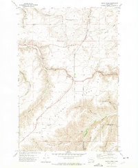
 1981 Clarkston1981 Print · USGSNorthwestern river life and mountain terrain meet in the early eighties as the Snake River carves through the landscape. Researchers can trace rail history along the Camas Prairie Railroad and locate smaller settlements like Peola and Anatone.2 unique versions available
 - 2011 Map of Alpowa Ridge, 2011 Print
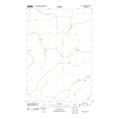 2011 Alpowa Ridge2011 Print · USGSCovers Mentor, including Asotin County, Garfield County, and other nearby areas
 - 2013 Map of Alpowa Ridge, 2013 Print
 2013 Alpowa Ridge2013 Print · USGSCovers Mentor, including Asotin County, Garfield County, and other nearby areas
 - 2017 Map of Alpowa Ridge, 2017 Print
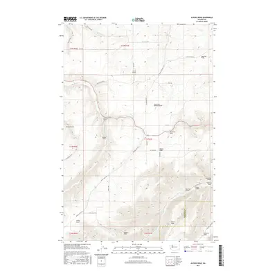 2017 Alpowa Ridge2017 Print · USGSCovers Mentor, including Asotin County, Garfield County, and other nearby areas
 - 2020 Map of Alpowa Ridge, 2020 Print
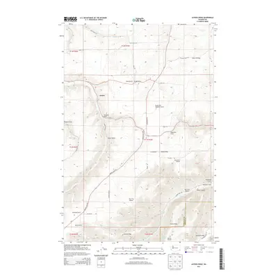
 2020 Alpowa Ridge2020 Print · USGSCovers Mentor, including Asotin County, Garfield County, and other nearby areas
 - 2023 Map of Alpowa Ridge, 2023 Print
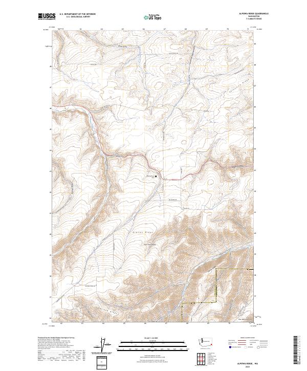 2023 Alpowa Ridge2023 Print · USGSSoutheastern Washington's high ridge country is captured here in the early twenty-first century. Genealogists and local historians can locate the Philomathean Cem and trace old routes like Kirby Mayview Rd across Alpowa Ridge.
End of results
Showing maps 1-11 of 11
Top cities near Mentor
Frequently asked questions
- What are the different types of historical maps available for Mentor?
- What is the oldest map of Mentor?
- Where can I purchase historical maps of Mentor for my home or office?
- Where can I download high-res historical maps of Mentor?
- Are there historical topographic maps available for Mentor?
- Is there historical aerial imagery available for Mentor?
- Where are historical maps of Mentor sourced from?