Old Maps of Bay City, Washington for Hiking & Exploration
Hike through history with 12 historic maps of Bay City. Explore old trails, ghost towns, and forgotten backroads — perfect for outdoor adventurers and local explorers.
- Rediscover forgotten places: Map out old mining camps, roads, and footpaths that no longer exist on modern maps.
- Layer with modern tools: Combine with LiDAR or satellite views to plan hikes through historical terrain.
- Made for exploration: Popular among hikers, overlanders, and local history lovers.
Use these maps to find adventure and explore the hidden past of Bay City.
Bay City, WA maps
(12)- 1941 Map of Grayland
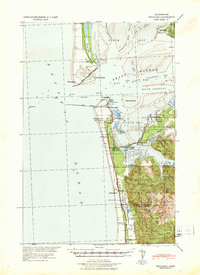 1941 Grayland1941 Print · USGSGrays Harbor and the Washington coast are captured here just before the mobilization of the early 1940s. Genealogists and historians can trace the foundations of Westport, locate the Western Logging Co Camp, and find maritime landmarks like the Grays Harbor L H.
 - 1943 Map of Copalis Beach
 1943 Copalis Beach1943 Print · USGSThe Washington coast in the 1940s is detailed here from the Olympic Peninsula to the Columbia River. Trace old beach settlements like Moclips and Copalis Beach alongside landmarks like the Willapa Bay Lighthouse.
 - 1951 Map of Copalis Beach
 1951 Copalis Beach1951 Print · USGSThe Olympic Peninsula's rugged coast and tribal lands are meticulously detailed in the early 1950s. Genealogists and historians can trace the foundations of coastal communities from Taholah to La Push or locate early markers like the James Island Lighthouse.
 - 1956 Map of Grayland, 1959 Print
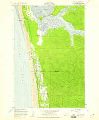 1956 Grayland1959 Print · USGSThe Washington coast in the 1950s shows a landscape of tidal flats and specialized agriculture. Researchers can trace family-named routes and coastal settlements like Grayland and Heather, or locate historical Cranberry Bogs and the industrial sites at Bay City.4 unique versions available
 - 1957 Map of Copalis Beach, 1968 Print
 1957 Copalis Beach1968 Print · USGSThe Washington coast during the late fifties reveals a landscape of tribal reservations and timber towns linked by the Northern Pacific RR. Trace family history and land patterns near Forks Cemetery, the shingle mill, or coastal landings like Taholah and Oysterville.2 unique versions available
 - 1963 Map of Copalis Beach
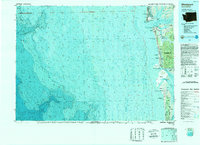
 1963 Copalis Beach1963 Print · USGSThe Washington coast in the early sixties reveals a landscape of massive timber reserves, indigenous lands, and quiet seaside villages. Genealogists and historians can trace the foundations of coastal life through sites like Lone Fir Cemetery, the Dismantled RR, and the historic oyster beds of Oysterville.
 - 1989 Map of Westport
 1989 Westport1989 Print · USGSThe Washington coast and the mouth of Grays Harbor are captured in the late eighties, documenting the maritime infrastructure and coastal settlements of the era. Researchers can trace the development of Westport, Ocean Shores, and historic waterfronts like Oysterville or Bay City.
 - 2011 Map of Grayland, 2011 Print
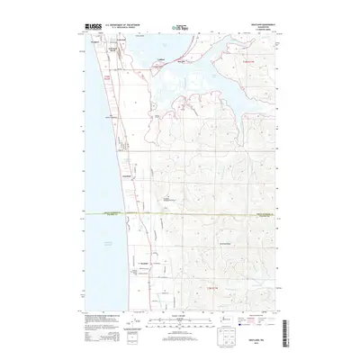
 2011 Grayland2011 Print · USGSCovers Bay City, including Westport, Grayland, and other nearby areas
 - 2014 Map of Grayland, 2014 Print
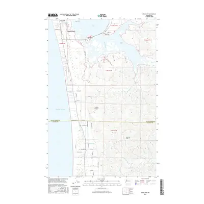
 2014 Grayland2014 Print · USGSCovers Bay City, including Westport, Grayland, and other nearby areas
 - 2017 Map of Grayland, 2017 Print
 2017 Grayland2017 Print · USGSCovers Bay City, including Westport, Grayland, and other nearby areas
 - 2020 Map of Grayland, 2020 Print
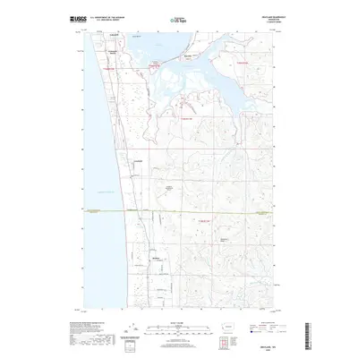 2020 Grayland2020 Print · USGSCovers Bay City, including Westport, Grayland, and other nearby areas
 - 2023 Map of Grayland, 2023 Print
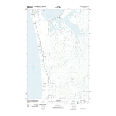
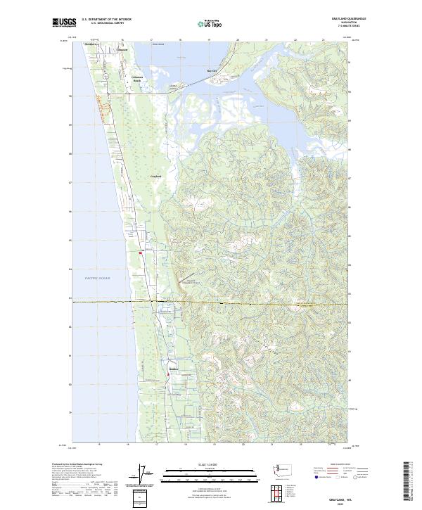 2023 Grayland2023 Print · USGSThe Washington coast south of Grays Harbor comes alive in this contemporary record of its unique tidal landscapes and coastal settlements. Genealogists and local historians can trace the road networks around Grayland, Bay City, and the Grayland-Intergalactic Airport.
End of results
Showing maps 1-12 of 12
Top cities near Bay City
- Aberdeen historical maps
- Hoquiam historical maps
- Ocean Shores historical maps
- Westport historical maps
- Grayland historical maps
- Ocean City historical maps
See more
Frequently asked questions
- What are the different types of historical maps available for Bay City?
- What is the oldest map of Bay City?
- Where can I purchase historical maps of Bay City for my home or office?
- Where can I download high-res historical maps of Bay City?
- Are there historical topographic maps available for Bay City?
- Is there historical aerial imagery available for Bay City?
- Where are historical maps of Bay City sourced from?