Old Maps of Carlisle East, Washington
Explore 13 old maps of Carlisle East, spanning from 1938 to today. These high-resolution historic maps reveal how streets, neighborhoods, landmarks, and natural features evolved over time — perfect for genealogy, metal detecting, research, and local history exploration.
What you can do with these maps:
- See how Carlisle East changed over time: Compare historical maps to modern-day views to trace roads, homesites, rail lines & more.
- View detailed metadata: Each map includes creators, publishers, year, scale, and archive source.
- Overlay maps with satellite & LiDAR: Visualize the past alongside modern tools to explore terrain & human change.
- Trusted historical sources: Maps sourced from the USGS, Library of Congress, and other archives.
- Access maps your way: View online, download high-res files, or order prints for personal or research use.
Start exploring old maps of Carlisle East to uncover forgotten places, hidden landmarks, and the deep history beneath your feet.
Carlisle East, WA maps
(13)- 1938 Map of Moclips, 1961 Print
 1938 Moclips1961 Print · USGSCoastal Grays Harbor County comes alive in this pre-war survey of the Washington shoreline and its timber-driven interior. Genealogists and researchers can trace the rail spurs of the Northern Pacific and locate historic mills and settlements like Aloha, Carlisle, and Stearnsville.2 unique versions available
 - 1941 Map of Moclips
 1941 Moclips1941 Print · USGSThe Grays Harbor coastline was a bustling corridor of timber and milling just before the war. Researchers can trace the extensive Polson Logging Company rail lines, the Carlisle School, and industrial sites like the Stearns Shingle Mill.
 - 1943 Map of Copalis Beach
 1943 Copalis Beach1943 Print · USGSThe Washington coast in the 1940s is detailed here from the Olympic Peninsula to the Columbia River. Trace old beach settlements like Moclips and Copalis Beach alongside landmarks like the Willapa Bay Lighthouse.
 - 1951 Map of Copalis Beach
 1951 Copalis Beach1951 Print · USGSThe Olympic Peninsula's rugged coast and tribal lands are meticulously detailed in the early 1950s. Genealogists and historians can trace the foundations of coastal communities from Taholah to La Push or locate early markers like the James Island Lighthouse.
 - 1955 Map of Carlisle, 1959 Print
 1955 Carlisle1959 Print · USGSCoastal Grays Harbor County in the mid-fifties reveals a landscape dominated by the timber industry and its transport networks. Genealogists and industrial historians can trace the developments of Carlisle, the Logging Railroad, and the Northern Pacific line passing through Onslow.4 unique versions available
 - 1957 Map of Copalis Beach, 1968 Print
 1957 Copalis Beach1968 Print · USGSThe Washington coast during the late fifties reveals a landscape of tribal reservations and timber towns linked by the Northern Pacific RR. Trace family history and land patterns near Forks Cemetery, the shingle mill, or coastal landings like Taholah and Oysterville.2 unique versions available
 - 1963 Map of Copalis Beach
 1963 Copalis Beach1963 Print · USGSThe Washington coast in the early sixties reveals a landscape of massive timber reserves, indigenous lands, and quiet seaside villages. Genealogists and historians can trace the foundations of coastal life through sites like Lone Fir Cemetery, the Dismantled RR, and the historic oyster beds of Oysterville.
 - 1980 Map of Copalis Beach, 1988 Print
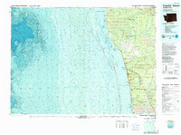 1980 Copalis Beach1988 Print · USGSThe Grays Harbor coast in the early eighties shows a landscape defined by the Quinault Indian Reservation and seaside rail history. Researchers can trace the Burlington Northern route through Moclips, Aloha, and Copalis Crossing.
 - 2011 Map of Carlisle, 2011 Print
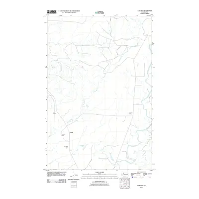 2011 Carlisle2011 Print · USGSGrays Harbor County at the start of the 2010s shows a landscape of timber roads and river valleys. Researchers can trace local landmarks like Kirkpatrick Quarry and the settlement of Carlisle near the Copalis River and Carlisle Lakes.
 - 2014 Map of Carlisle, 2014 Print
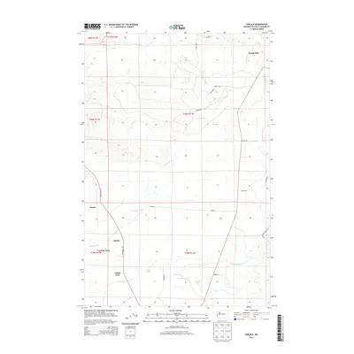 2014 Carlisle2014 Print · USGSCoastal Grays Harbor County comes into focus in this recent survey of the timber and river lands near the Copalis and Humptulips rivers. Genealogists and local historians can trace the distinct settlements of Carlisle, Carlisle East, and Carlisle West alongside the path of the CARLISLE railroad.
 - 2017 Map of Carlisle, 2017 Print
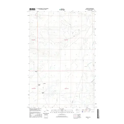 2017 Carlisle2017 Print · USGSCoastal Grays Harbor County comes into focus in this recent survey of the river valleys north of Grays Harbor. Researchers can trace the layout of Onslow and Carlisle or follow the winding courses of the Humptulips River and Copalis River.
 - 2020 Map of Carlisle, 2020 Print
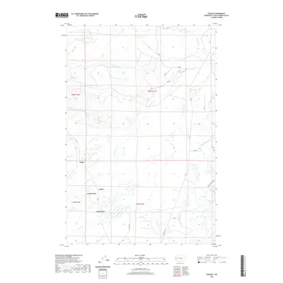 2020 Carlisle2020 Print · USGSSettlements in the coastal river valleys of Grays Harbor County appear in high detail at the start of the 2020s. Trace the local geography around Carlisle, Onslow, and Damon Lake, or follow the winding courses of the Copalis River and Humptulips River.
 - 2023 Map of Carlisle, 2023 Print
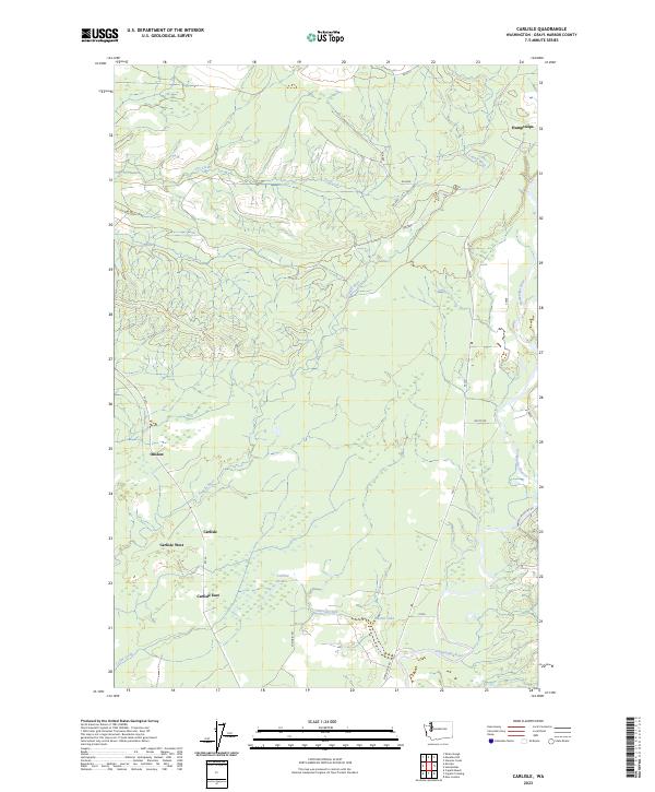 2023 Carlisle2023 Print · USGSGrays Harbor County in the early 2020s remains a landscape defined by its timber heritage and river networks. Researchers can trace the layout of Carlisle and Humptulips or locate landmarks like Carlisle Lakes and Damon Lake.
End of results
Showing maps 1-13 of 13
Top cities near Carlisle East
- Hoquiam historical maps
- Ocean Shores historical maps
- Qui-nai-elt Village historical maps
- Humptulips historical maps
- Moclips historical maps
- Ocean City historical maps
Frequently asked questions
- What are the different types of historical maps available for Carlisle East?
- What is the oldest map of Carlisle East?
- Where can I purchase historical maps of Carlisle East for my home or office?
- Where can I download high-res historical maps of Carlisle East?
- Are there historical topographic maps available for Carlisle East?
- Is there historical aerial imagery available for Carlisle East?
- Where are historical maps of Carlisle East sourced from?