Old Maps of Hoquiam, Washington for Genealogy
Trace your family roots with 34 historic maps of Hoquiam. These high-res maps reveal old neighborhoods, homesites, landmarks, and streets — helping you uncover where your ancestors lived and how the area evolved over time.
- Explore historic neighborhoods: Identify where your relatives may have lived in the 1800s or 1900s.
- Compare maps over time: Trace the changes in streets, buildings, and landmarks for multi-generational research.
- Perfect for genealogy & ancestry research: Used by family historians and researchers to map out lineage and migration.
These maps are an incredible resource for exploring your personal connection to Hoquiam's past.
Hoquiam, WA maps
(34)- 1943 Map of Humptulips
 1943 Humptulips1943 Print · USGSGrays Harbor County timber and ranching lands come into focus during the early 1940s as the region transitioned toward modern infrastructure. Researchers can locate family homesteads like Brittain Ranch, industrial sites like the Polson Logging Company lines, and local hubs including Springfield Sch and New London.
 - 1953 Map of Hoquiam
 1953 Hoquiam1953 Print · USGSSouthwest Washington in the early fifties shows a landscape shaped by timber, rail, and river commerce from the coast to the Cascades. Genealogists and historians can trace the development of timber towns like Ryderwood and the industrial hubs of Hoquiam and Kelso.2 unique versions available
 - 1955 Map of Humptulips, 1957 Print
 1955 Humptulips1957 Print · USGSThe Olympic Peninsula timber and river country comes alive in the mid-fifties, showing the intersection of industrial logging and early settlement. Trace family roots and old timber operations near Humptulips, New London, and the Logging Railroad.3 unique versions available
 - 1957 Map of Hoquiam
 1957 Hoquiam1957 Print · USGSCoastal timber ports and inland rail hubs define Southwest Washington during the late fifties. Genealogists can trace early twentieth-century settlements like Bordeaux, Tono, and Cosmopolis alongside the expanding tracks of the Northern Pacific.
 - 1957 Map of Hoquiam, 1960 Print
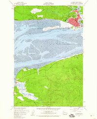 1957 Hoquiam1960 Print · USGSGrays Harbor at the midpoint of the twentieth century shows a bustling maritime hub defined by the Hoquiam River and coastal rail lines. Researchers can trace the waterfront legacy of Hoquiam and find landmarks like Bowerman Airport and the Johns River Game Range.4 unique versions available
 - 1957 Map of Aberdeen, 1995 Print
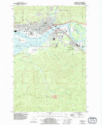 1957 Aberdeen1995 Print · USGSAberdeen and Hoquiam appear as bustling industrial hubs in the mid-1950s at the mouth of the Chehalis River. Researchers can trace the waterfront's growth near Junction City or locate family sites at Fern Hill Cemetery and Books Ranch.
 - 1958 Map of Seattle, 1966 Print
 1958 Seattle1966 Print · USGSThe Puget Sound region in the mid-fifties showcases a balance of urban growth and Olympic wilderness. Trace the industrial waterfronts of Tacoma, old naval facilities like Keyport Naval Res, and mountain peaks like Mount Constance.3 unique versions available
 - 1958 Map of Hoquiam, 1969 Print
 1958 Hoquiam1969 Print · USGSSouthwest Washington and the Columbia River estuary appear here in the mid-century, before major landscape shifts. Researchers can trace the rail lines of the Northern Pacific, locate the Fort Henness Site, or explore the Naselle Air Force Station.2 unique versions available
 - 1962 Map of Seattle
 1962 Seattle1962 Print · USGSThe Puget Sound region and Olympic Peninsula are shown at a peak of mid-century growth. Genealogists and historians can trace rail lines like the Pacific Coast RR or locate landmarks such as Fort Lawton and the Bothell Power Station.
 - 1962 Map of Hoquiam
 1962 Hoquiam1962 Print · USGSSouthwest Washington in the late fifties is defined by the bustling timber ports of Hoquiam and the rail-linked commerce of the interior valleys. Genealogists and historians can trace the early footprints of settlements like Raymond and Pe Ell, or locate family sites at Grand Mound Cem and Odd Fellows Cem.
 - 1988 Map of Shelton
 1988 Shelton1988 Print · USGSThe Olympic Peninsula's transition from high mountain wilderness to Puget Sound tideflats is captured here in the late eighties. Researchers can trace the path of the Logging Railroad or locate historical sites like Sanderson Field and the Skokomish Indian Reservation.
 - 1990 Map of Aberdeen Gardens
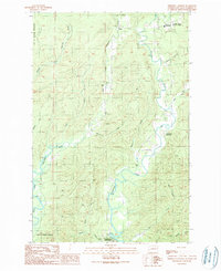 1990 Aberdeen Gardens1990 Print · USGSThe river valleys north of Aberdeen are captured here in the early nineties, showing a landscape defined by timber and watershed management. Researchers can trace the Old Railroad Grade, locate the Cem at Wishkah, and explore the Olympic State Wildlife Area.
 - 1990 Map of New London
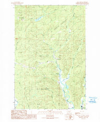 1990 New London1990 Print · USGSGrays Harbor County at the start of the nineties reveals a landscape of industrial watersheds and timber-country transit. Historians can trace the Old Railroad Grade and locate local landmarks like the Hoquiam Water Works and New London.
 - 1992 Map of Chehalis River, 1993 Print
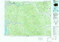 1992 Chehalis River1993 Print · USGSThe Chehalis River valley and the timberlands of the Black Hills are captured here in the early nineties. Researchers can trace rail-and-river history through Montesano and Raymond, or locate the unique Mima Mounds and Bordeaux.2 unique versions available
 - 2011 Map of Aberdeen, 2011 Print
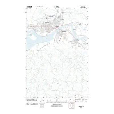 2011 Aberdeen2011 Print · USGSThe harbor cities of the Pacific Northwest are shown here in the early twenty-first century, centered on the busy riverfronts of the Chehalis River and Wishkah River. Researchers can trace neighborhood development in Broadway Heights or locate family sites at Fern Hill Cemetery and Forest Hill Cemetery.
 - 2011 Map of New London, 2011 Print
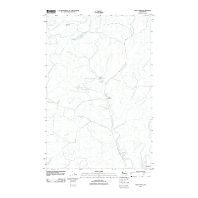 2011 New London2011 Print · USGSThe river valleys north of Hoquiam come into focus in this early twenty-first-century survey of Grays Harbor County. Genealogists and local historians can trace the riverside settlements of New London, Polson, and Woodlawn alongside landmarks like the Deep Creek Lookout.
 - 2011 Map of Aberdeen Gardens, 2011 Print
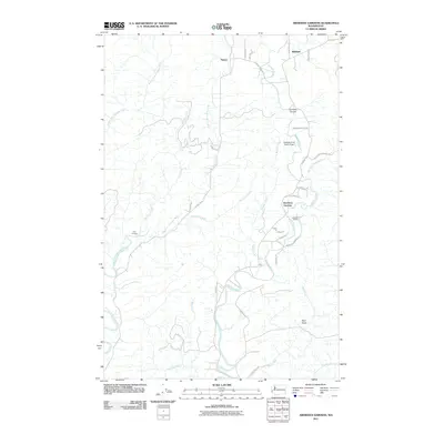 2011 Aberdeen Gardens2011 Print · USGSThe river valleys north of Aberdeen were still defined by small timber-country settlements and winding waterways at the start of the 2010s. Researchers can trace the rural road network connecting Aberdeen Gardens and Lytle Landing to landmarks like Wishkah River Ranch Airport.
 - 2011 Map of Hoquiam, 2011 Print
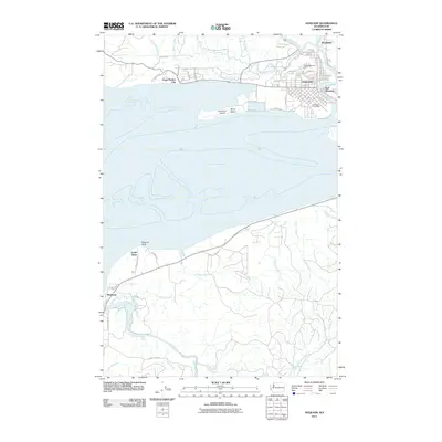 2011 Hoquiam2011 Print · USGSGrays Harbor County at the start of the 2010s shows a landscape of busy timber ports and quiet coastal timberland. Genealogists and local historians can trace street-level details in Hoquiam and Woodlawn, or locate family landmarks like Sunset Memorial Park and Stearns Bluff.
 - 2014 Map of Aberdeen, 2014 Print
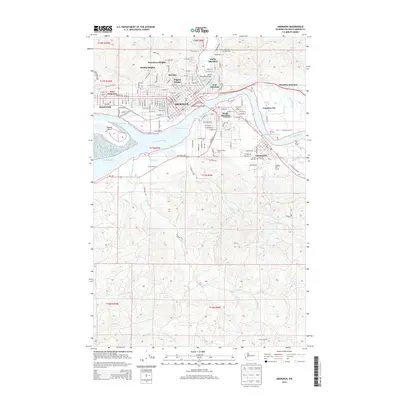 2014 Aberdeen2014 Print · USGSGrays Harbor's industrial and residential heart is shown here in the 2010s, centered on the confluence of the Wishkah River and Chehalis River. Researchers can trace neighborhood growth through Pilgrim Heights or locate family sites at Forest Hill Cem and the Grays Harbor Coll campus.
 - 2014 Map of Hoquiam, 2014 Print
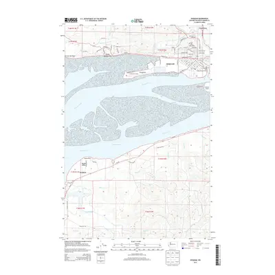 2014 Hoquiam2014 Print · USGSGrays Harbor and the mouth of the Chehalis River are shown here in the early twenty-first century as the region manages its complex coastal geography. Researchers can trace family history through the neighborhoods of Hoquiam, the Sunset Memorial Park cemetery, and small settlements like Markham and Woodlawn.
 - 2014 Map of Aberdeen Gardens, 2014 Print
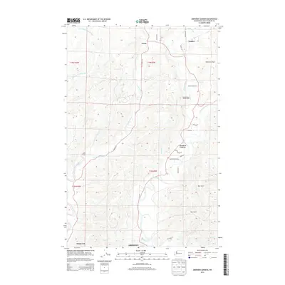 2014 Aberdeen Gardens2014 Print · USGSCoastal river valleys north of Grays Harbor show a blend of forest lands and rural settlements during the 2010s. Genealogists and local historians can trace family properties near Aberdeen Gardens, the airfield at Wishkah River Ranch Airport, and old river sites like Lytle Landing.
 - 2014 Map of New London, 2014 Print
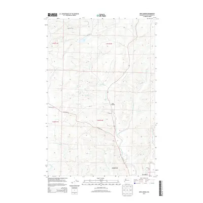 2014 New London2014 Print · USGSCoastal Washington river valleys are mapped here in the early 2010s, showing the convergence of the forks of the Hoquiam River. You can trace local landmarks like New London, the Deep Creek Lookout, and the waters of Failor Lake and Grass Creek.
 - 2017 Map of Aberdeen Gardens, 2017 Print
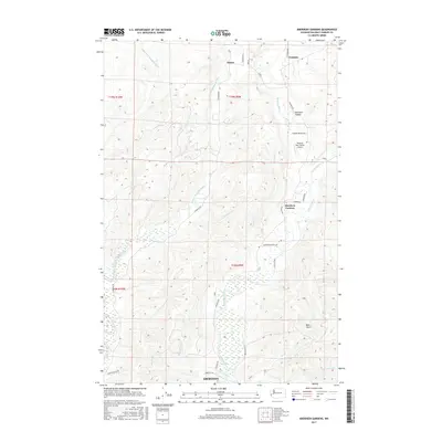 2017 Aberdeen Gardens2017 Print · USGSGrays Harbor County’s river valleys and northern timberlands are captured here in the early twenty-first century. Researchers can trace the layout of Aberdeen Gardens or locate family landmarks along the Wishkah River and at the Wishkah River Ranch Airport.
 - 2017 Map of New London, 2017 Print
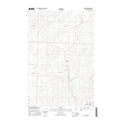 2017 New London2017 Print · USGSThe river valleys of Grays Harbor County come alive in this recent survey of the Hoquiam backcountry. Genealogists and local historians can trace family-named landmarks and settlements from New London and Woodlawn to the Hoquiam Water Works and Failor Lake.
 - 2017 Map of Hoquiam, 2017 Print
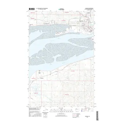 2017 Hoquiam2017 Print · USGSCoastal Washington in the late 2010s reveals a landscape where the Hoquiam waterfront meets the sprawling channels of the Chehalis River. Researchers can trace local development from Woodlawn down to the maritime facilities near Moon Island and the Hoquiam River Bridge.
Showing maps 1-25 of 34
Top cities near Hoquiam
- Aberdeen historical maps
- Ocean Shores historical maps
- Westport historical maps
- Cosmopolis historical maps
- Grayland historical maps
- Aberdeen Gardens historical maps
Top neighborhoods of Hoquiam
Frequently asked questions
- What are the different types of historical maps available for Hoquiam?
- What is the oldest map of Hoquiam?
- Where can I purchase historical maps of Hoquiam for my home or office?
- Where can I download high-res historical maps of Hoquiam?
- Are there historical topographic maps available for Hoquiam?
- Is there historical aerial imagery available for Hoquiam?
- Where are historical maps of Hoquiam sourced from?