Old Maps of Cappy's, Port Townsend for Hiking & Exploration
Hike through history with 10 historic maps of Cappy's. Explore old trails, ghost towns, and forgotten backroads — perfect for outdoor adventurers and local explorers.
- Rediscover forgotten places: Map out old mining camps, roads, and footpaths that no longer exist on modern maps.
- Layer with modern tools: Combine with LiDAR or satellite views to plan hikes through historical terrain.
- Made for exploration: Popular among hikers, overlanders, and local history lovers.
Use these maps to find adventure and explore the hidden past of Cappy's.
Cappy's, Port Townsend maps
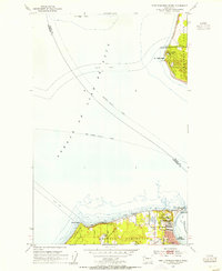
(10)- 1939 Map of Port Townsend
 1939 Port Townsend1939 Print · USGSCoastal Jefferson County in the late 1930s serves as a vital maritime and military hub at the edge of the Strait of Juan de Fuca. Genealogists and historians can trace family-named sites like Clark Farm alongside major landmarks like Fort Worden and the busy docks of Irondale.
 - 1953 Map of Port Townsend North, 1955 Print
 1953 Port Townsend North1955 Print · USGSThe entrance to Puget Sound in the early fifties shows a landscape shaped by coastal defense and maritime commerce. Trace the grounds of Fort Worden Military Res, the lighthouse at Point Wilson, and the ferry lanes crossing the Strait of Juan de Fuca.3 unique versions available
 - 1957 Map of Victoria, 1960 Print
 1957 Victoria1960 Print · USGSThe San Juan Islands and the North Cascades coastline are shown in detail during the late fifties, a period of significant military and industrial presence. Researchers can trace historic rail lines like the Great Northern or locate sites such as the Whidbey Island Naval Air Sta and Friday Harbor.4 unique versions available
 - 1975 Map of Port Townsend, 1977 Print
 1975 Port Townsend1977 Print · USGSThe northern Puget Sound in the mid-seventies shows a landscape of military readiness and maritime industry. Researchers can trace the extensive Whidbey Island Naval Air Station or locate historic coastal defenses at Fort Casey Military Res and Fort Ebey Military Res.
 - 1993 Map of Port Townsend
 1993 Port Townsend1993 Print · USGSThe Puget Sound and Whidbey Island are captured in the early nineties, showing a landscape defined by naval aviation and maritime trade. Genealogists and local historians can trace the development of Oak Harbor and Coupeville or locate family sites near the Arlington Municipal Cemetery and Ault Field.
 - 2011 Map of Port Townsend North, 2011 Print
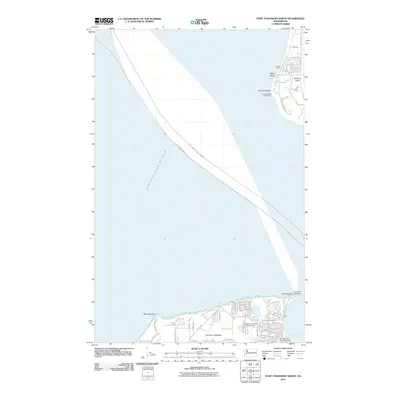 2011 Port Townsend North2011 Print · USGSCovers Cappy's, including Port Townsend, Island County, and other nearby areas
 - 2014 Map of Port Townsend North, 2014 Print
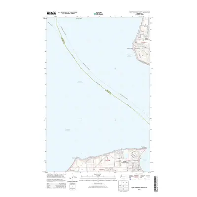 2014 Port Townsend North2014 Print · USGSCovers Cappy's, including Port Townsend, Island County, and other nearby areas
 - 2017 Map of Port Townsend North, 2017 Print
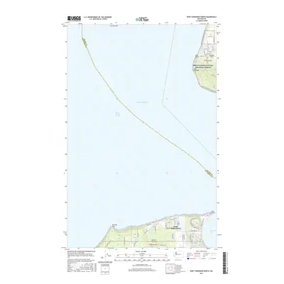 2017 Port Townsend North2017 Print · USGSCovers Cappy's, including Port Townsend, Island County, and other nearby areas
 - 2020 Map of Port Townsend North, 2020 Print
 2020 Port Townsend North2020 Print · USGSCovers Cappy's, including Port Townsend, Island County, and other nearby areas
 - 2023 Map of Port Townsend North, 2023 Print
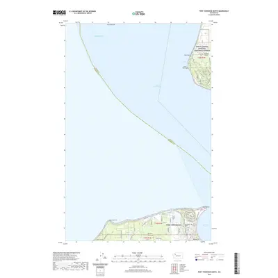
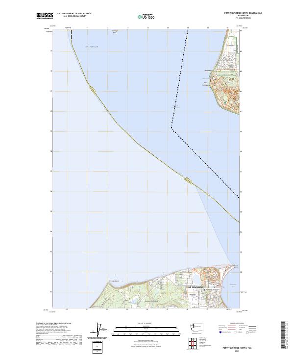 2023 Port Townsend North2023 Print · USGSThe maritime gateway of Port Townsend and the protected shores of Whidbey Island are captured here in the early twenty-first century. Researchers can locate Saint Marys Catholic Cem or trace coastal paths like the Pacific Northwest National Scenic Trl.
End of results
Showing maps 1-10 of 10
Frequently asked questions
- What are the different types of historical maps available for Cappy's?
- What is the oldest map of Cappy's?
- Where can I purchase historical maps of Cappy's for my home or office?
- Where can I download high-res historical maps of Cappy's?
- Are there historical topographic maps available for Cappy's?
- Is there historical aerial imagery available for Cappy's?
- Where are historical maps of Cappy's sourced from?