Old Maps of Twin Lakes, Federal Way for Academic Research
Study the evolution of Twin Lakes with 22 high-resolution historic maps. Whether you're teaching, researching, or modeling changes in land use, these maps provide essential visual documentation of urban, environmental, and geographic change.
- Analyze long-term change: Track patterns in development, transportation, and natural features.
- Ideal for environmental or urban studies: Support academic projects with primary historical map data.
- Use in the classroom or lab: Educators and researchers rely on these maps to bring historical context to life.
These maps are a powerful tool for teaching, research, and visualizing how Twin Lakes has changed over the decades.
Twin Lakes, Federal Way maps
(22)- 1897 Map of Tacoma
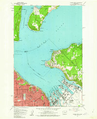
 1897 Tacoma1897 Print · USGSPuget Sound and the Tacoma waterfront come alive in the late 1890s, when coal railroads and river valleys drove regional growth. Genealogists can trace family roots in early island settlements like Chautauqua or inland rail towns such as Black Diamond and Wilkeson.2 unique versions available
 - 1900 Map of Tacoma
 1900 Tacoma1900 Print · USGSThe Puget Sound region was a hive of rail and maritime activity at the end of the Victorian era. Researchers can trace early settlements like Chautauqua, identify tribal lands at the Muckleshoot Indian Reservation, and locate mining towns such as Black Diamond.9 unique versions available
 - 1949 Map of Tacoma North, 1956 Print
 1949 Tacoma North1956 Print · USGSTacoma and its deep-water terminals appear at their industrial peak just after the war, showing the busy waterways of Commencement Bay. Researchers can trace the legacy of the Port of Tacoma, the grounds of the College of Puget Sound, and the early layout of Dash Point.
 - 1949 Map of Poverty Bay, 1956 Print
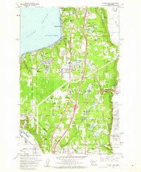
 1949 Poverty Bay1956 Print · USGSThe Puget Sound shoreline and the emerging Federal Way corridor are captured here during the late 1940s. Genealogists and local historians can trace early neighborhood footprints from Woodmont Beach to Madrona Heights and locate landmarks like Evergreen Airfield and Steel Lake Ch.
 - 1958 Map of Seattle, 1966 Print
 1958 Seattle1966 Print · USGSThe Puget Sound region in the mid-fifties showcases a balance of urban growth and Olympic wilderness. Trace the industrial waterfronts of Tacoma, old naval facilities like Keyport Naval Res, and mountain peaks like Mount Constance.3 unique versions available
 - 1961 Map of Tacoma North, 1962 Print
 1961 Tacoma North1962 Print · USGSTacoma's industrial waterfront and the southern tip of Vashon Island are captured here during a period of significant mid-century growth. Researchers can trace the development of neighborhood schools like Lowell Sch or locate maritime landmarks such as the Dash Point Lighthouse and Browns Point.5 unique versions available
 - 1961 Map of Poverty Bay, 1962 Print
 1961 Poverty Bay1962 Print · USGSThe Federal Way plateau and the King-Pierce county line are shown in the early sixties as suburban growth begins to surround historic shoreline communities. Researchers can trace the development of local schools, the Evergreen Airport, and the Auburn Cem alongside the Northern Pacific rail line.5 unique versions available
 - 1962 Map of Seattle
 1962 Seattle1962 Print · USGSThe Puget Sound region and Olympic Peninsula are shown at a peak of mid-century growth. Genealogists and historians can trace rail lines like the Pacific Coast RR or locate landmarks such as Fort Lawton and the Bothell Power Station.
 - 1975 Map of Tacoma, 1977 Print
 1975 Tacoma1977 Print · USGSThe Puget Sound region in the mid-seventies reveals a landscape of growing urban centers and massive federal installations. Genealogists and historians can trace the development of Tacoma and Olympia, or locate landmarks like the McNeil Island Penitentiary and Fort Lewis Military Reservation.
 - 1991 Map of Tacoma
 1991 Tacoma1991 Print · USGSThe South Sound and Tacoma waterfront appear here in the early nineties, showing a landscape defined by deep-water inlets and massive federal installations. Researchers can trace the development of Lakewood Center or locate the historic rail lines of the Burlington Northern Railroad and Union Pacific Railroad.
 - 1997 Map of Poverty Bay, 2003 Print
 1997 Poverty Bay2003 Print · USGSCoastal development along the Puget Sound defines this late-nineties survey of the burgeoning Federal Way area. Genealogists and historians can trace family sites near Gethsemane Cemetery and older communities like Adelaide and Kitts Corner.
 - 1997 Map of Tacoma North, 2003 Print
 1997 Tacoma North2003 Print · USGSThe industrial waterfront of Commencement Bay and the shores of Maury Island are captured in the late nineties, documenting a landscape of maritime commerce and island life. Trace the harbor's evolution through the Port of Tacoma, the Dash Point Lighthouse, and the historic Stadium High Sch.
 - 2011 Map of Poverty Bay, 2011 Print
 2011 Poverty Bay2011 Print · USGSCovers Twin Lakes, including Tacoma, Kent, and other nearby areas
 - 2011 Map of Tacoma North, 2011 Print
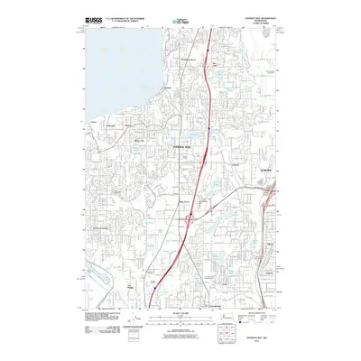
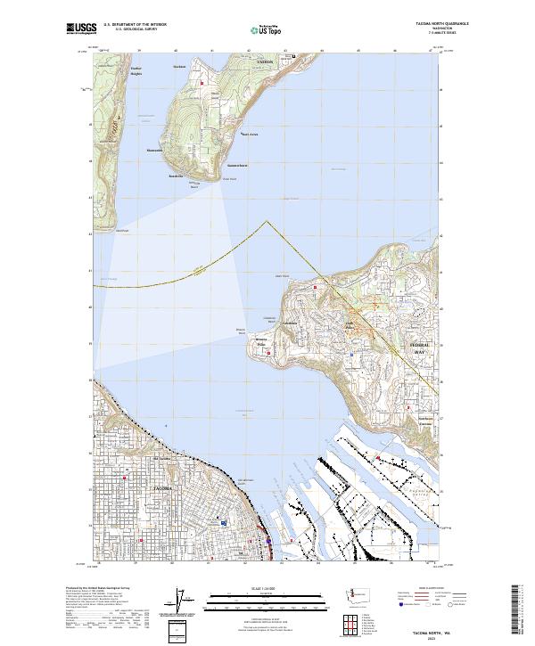
 2011 Tacoma North2011 Print · USGSCovers Twin Lakes, including Tacoma, Federal Way, and other nearby areas
 - 2014 Map of Poverty Bay, 2014 Print
 2014 Poverty Bay2014 Print · USGSCovers Twin Lakes, including Tacoma, Kent, and other nearby areas
 - 2014 Map of Tacoma North, 2014 Print
 2014 Tacoma North2014 Print · USGSCovers Twin Lakes, including Tacoma, Federal Way, and other nearby areas
 - 2017 Map of Poverty Bay, 2017 Print
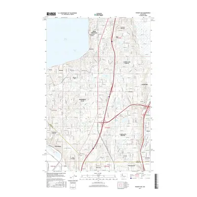 2017 Poverty Bay2017 Print · USGSCovers Twin Lakes, including Tacoma, Kent, and other nearby areas
 - 2017 Map of Tacoma North, 2017 Print
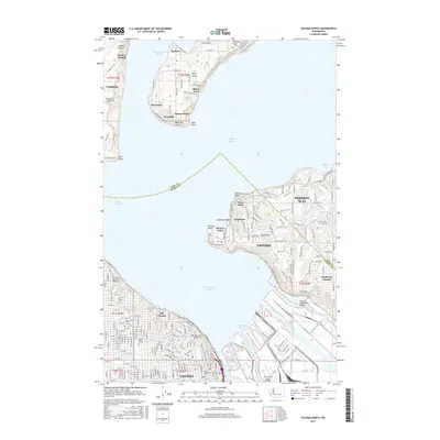 2017 Tacoma North2017 Print · USGSCovers Twin Lakes, including Tacoma, Federal Way, and other nearby areas
 - 2020 Map of Poverty Bay, 2020 Print
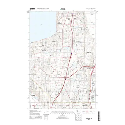
 2020 Poverty Bay2020 Print · USGSCovers Twin Lakes, including Tacoma, Kent, and other nearby areas
 - 2020 Map of Tacoma North, 2020 Print
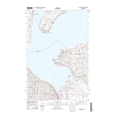
 2020 Tacoma North2020 Print · USGSCovers Twin Lakes, including Tacoma, Federal Way, and other nearby areas
 - 2023 Map of Poverty Bay, 2023 Print
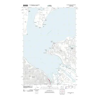
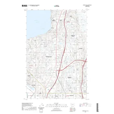
 2023 Poverty Bay2023 Print · USGSThe Puget Sound shoreline and the burgeoning plateau between Seattle and Tacoma are captured here during a period of intense suburban and industrial growth. Researchers can trace family history through Gethsemane Cem and Mountain View Cem or locate old neighborhood boundaries in Woodmont Beach and Lakota.
 - 2023 Map of Tacoma North, 2023 Print
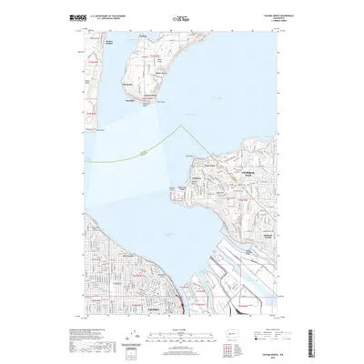
 2023 Tacoma North2023 Print · USGSThe Tacoma waterfront and Vashon Island shoreline are captured here in a moment of modern maritime industry and coastal growth. Trace the deep-water channels of Commencement Bay or locate historical landmarks like the Maury Island Cem and Old Tacoma.
End of results
Showing maps 1-22 of 22
Frequently asked questions
- What are the different types of historical maps available for Twin Lakes?
- What is the oldest map of Twin Lakes?
- Where can I purchase historical maps of Twin Lakes for my home or office?
- Where can I download high-res historical maps of Twin Lakes?
- Are there historical topographic maps available for Twin Lakes?
- Is there historical aerial imagery available for Twin Lakes?
- Where are historical maps of Twin Lakes sourced from?