Old Maps of Kenmore, Washington for Genealogy
Trace your family roots with 38 historic maps of Kenmore. These high-res maps reveal old neighborhoods, homesites, landmarks, and streets — helping you uncover where your ancestors lived and how the area evolved over time.
- Explore historic neighborhoods: Identify where your relatives may have lived in the 1800s or 1900s.
- Compare maps over time: Trace the changes in streets, buildings, and landmarks for multi-generational research.
- Perfect for genealogy & ancestry research: Used by family historians and researchers to map out lineage and migration.
These maps are an incredible resource for exploring your personal connection to Kenmore's past.
Kenmore, WA maps
(38)- 1894 Map of Seattle, 1903 Print
 1894 Seattle1903 Print · USGSSeattle and its surrounding bay-side towns come alive in the 1890s, showing the region before modern industrialization reshaped the shoreline. Researchers can trace the original courses of the Dwamish River and locate early settlements like Ballard, West Seattle, and Ravenna.2 unique versions available
 - 1895 Map of Snohomish, 1954 Print
 1895 Snohomish1954 Print · USGSThe Puget Sound region in the late nineteenth century is documented here as Seattle and Everett rapidly expand via a growing rail network. Genealogists and historians can trace early waterfront settlements and inland junctions such as Mukilteo, Woodinville, and the grounds of Ft. Lawton.
 - 1897 Map of Seattle
 1897 Seattle1897 Print · USGSThe Puget Sound region is seen here in the late nineteenth century as the rail-and-water economy flourished. Genealogists and historians can trace early landings and rail stops like Curtis Landing, Moorland, and Kirkland Junction.10 unique versions available
 - 1908 Map of Seattle, 1955 Print
 1908 Seattle1955 Print · USGSSeattle's maritime and urban landscape is captured during a period of rapid growth and international attention. Genealogists and historians can trace neighborhood development near Ballard, the site of the Alaska-Yukon-Pacific Exposition, and landmarks like Fort Lawton.2 unique versions available
 - 1909 Map of Seattle Special
 1909 Seattle Special1909 Print · USGSThe Seattle waterfront and its surrounding hills appear here during the year of the Alaska-Yukon-Pacific Exposition. Genealogists and historians can trace early city neighborhoods and rail lines like the Seattle-Everett Interurban or locate Lakeview Cemetery and Fort Lawton.4 unique versions available
 - 1942 Map of Edmonds, 1944 Print
 1942 Edmonds1944 Print · USGSCoastal Snohomish County and Whidbey Island are captured in the early 1940s during a period of maritime and rail expansion. Researchers can trace historic ferry lines, the Great Northern railroad, and local landmarks like Alderwood Manor and Firlands Sanitarium.
 - 1944 Map of Everett
 1944 Everett1944 Print · USGSMid-century Snohomish County shows a landscape of industrial riverfronts and rural schoolhouses during the Second World War. Genealogists can trace family names at Cypress Lawn Cem, locate the CCC Camp, or find old school sites like Forbes Sch.
 - 1949 Map of Seattle North, 1956 Print
 1949 Seattle North1956 Print · USGSMid-century Seattle is captured here as the city's northern neighborhoods and shorelines entered an era of rapid postwar development. Genealogists and historians can trace the early layouts of Greenwood, Lake City, and Laurelhurst, while locating landmarks like the U S Naval Air Station and St Edwards Seminary.3 unique versions available
 - 1950 Map of Kirkland, 1956 Print
 1950 Kirkland1956 Print · USGSThe King County shoreline on the eve of major suburban growth shows a landscape tied to the water and rail. Trace early neighborhoods and landmarks like the Seattle-Kirkland Ferry, the Northern Pacific line, and Bridle Trail State Park.4 unique versions available
 - 1953 Map of Bothell, 1955 Print
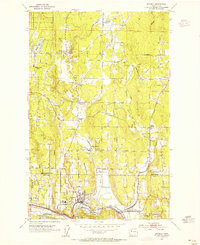 1953 Bothell1955 Print · USGSThe Sammamish River valley in the early fifties shows a landscape of crossroads communities and timbered hills. Genealogists and local historians can trace family-named landmarks like Thrashers Corner or Turner Corner and locate early sites like Martha Lake School.5 unique versions available
 - 1953 Map of Edmonds East, 1955 Print
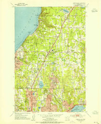 1953 Edmonds East1955 Print · USGSSuburban expansion north of Seattle is in full swing during the early fifties as new neighborhoods rise between the Sound and Lake Washington. Trace the development of Mountlake Terrace and Lynnwood alongside landmarks like Lake Ballinger and the Great Northern tracks.5 unique versions available
 - 1953 Map of Everett, 1958 Print
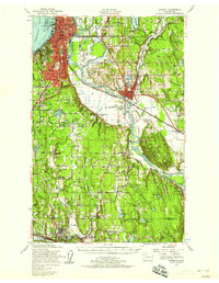 1953 Everett1958 Print · USGSSnohomish County and the northern edge of King County are shown here during the post-war expansion of the mid-fifties. Researchers can trace the legacy of the timber and rail era through landmarks like the Great Northern Railway, Snohomish Airfield, and the Marshland Sch (Aban'd).2 unique versions available
 - 1953 Map of Edmonds, 1958 Print
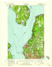 1953 Edmonds1958 Print · USGSThe Snohomish County shoreline and southern Whidbey Island were undergoing a massive suburban shift in the early fifties. Researchers can trace the growth of Mountlake Terrace, locate old schoolhouses like Fairmont School, and find the Paine Field Air Force Base.
 - 1958 Map of Seattle, 1966 Print
 1958 Seattle1966 Print · USGSThe Puget Sound region in the mid-fifties showcases a balance of urban growth and Olympic wilderness. Trace the industrial waterfronts of Tacoma, old naval facilities like Keyport Naval Res, and mountain peaks like Mount Constance.3 unique versions available
 - 1962 Map of Seattle
 1962 Seattle1962 Print · USGSThe Puget Sound region and Olympic Peninsula are shown at a peak of mid-century growth. Genealogists and historians can trace rail lines like the Pacific Coast RR or locate landmarks such as Fort Lawton and the Bothell Power Station.
 - 1975 Map of Seattle, 1977 Print
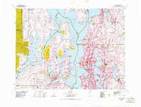 1975 Seattle1977 Print · USGSThe Puget Sound region in the mid-seventies shows a landscape of rapid suburban growth and vital maritime industry. Researchers can trace the development of Eastside hubs like Bellevue or examine the rail and naval infrastructure of Bremerton and Paine Field.
 - 1983 Map of Seattle North
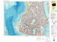 1983 Seattle North1983 Print · USGSNorth Seattle and its surrounding waters are captured here in the early eighties, showcasing the city's dense residential expansion and maritime heritage. Genealogists and historians can trace neighborhood developments from Ballard to Wedgwood or locate local institutions like Acacia Mem Park (Cem) and the University of Washington.2 unique versions available
 - 1992 Map of Seattle, 1993 Print
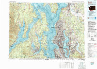 1992 Seattle1993 Print · USGSThe Seattle metropolitan area and Puget Sound are shown here in the early nineties during a period of rapid suburban and technological growth. Researchers can trace the development of Mercer Island, locate the Bangor Naval Submarine Base, and study the industrial layout of Boeing Field.2 unique versions available
 - 2011 Map of Seattle North, 2011 Print
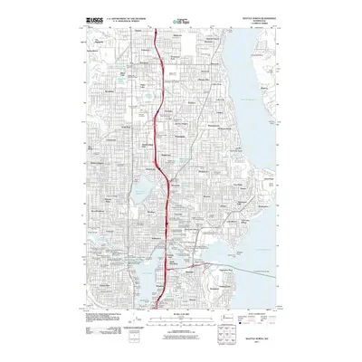 2011 Seattle North2011 Print · USGSNorth Seattle is shown in great detail at the start of the 2010s, from the shores of Lake Washington to the Puget Sound heights. Trace urban development through major landmarks like University of Washington, Washelli Cemetery, and the Woodland Park Zoo.
 - 2011 Map of Edmonds East, 2011 Print
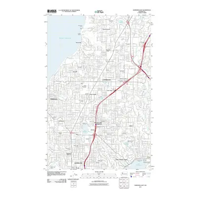 2011 Edmonds East2011 Print · USGSSnohomish and King County suburbs are captured in high detail during the early 2010s. Researchers can trace the path of the Interurban Trail or locate family sites at Holyrood Cemetery and Abbey View Memorial Park.
 - 2011 Map of Bothell, 2011 Print
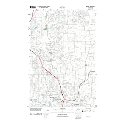 2011 Bothell2011 Print · USGSBothell and Mill Creek are shown at a peak of suburban expansion during the early twenty-first century. Genealogists and local historians can trace historical crossroads like Thrashers Corner and Kennard Corner or locate Floral Hills Cemetery.
 - 2011 Map of Kirkland, 2011 Print
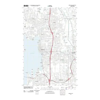 2011 Kirkland2011 Print · USGSThe Eastside of Lake Washington is captured here in detail during a period of significant suburban maturity. Researchers can trace the development of neighborhoods like Juanita and Rose Hill or locate landmarks such as Everest Memorial Park and Bastyr University.
 - 2014 Map of Bothell, 2014 Print
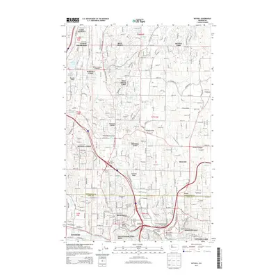 2014 Bothell2014 Print · USGSThe Snohomish and King County borderlands are shown here during a period of significant suburban and academic expansion. Researchers can locate established landmarks like Floral Hills Cem and the Univ of Washington-Bothell Campus alongside the many crossroads of Thrashers Corner and Wintermutes Corner.
 - 2014 Map of Edmonds East, 2014 Print
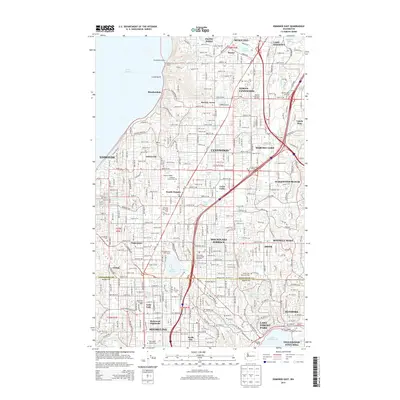 2014 Edmonds East2014 Print · USGSCoastal communities meet burgeoning suburban centers at the King and Snohomish county line during the mid-2010s. Researchers can trace the development of established neighborhoods like Alderwood Manor and Esperance alongside landmarks like Lake Ballinger.
 - 2014 Map of Seattle North, 2014 Print
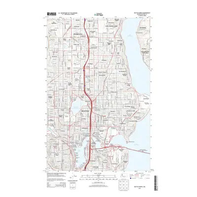 2014 Seattle North2014 Print · USGSNorthern Seattle and the Shoreline area are shown in comprehensive detail just as the modern tech era was reshaping the region. Researchers can locate long-standing institutions like the University of Washington and historic cemeteries including Washelli Cem or Acacia Memorial Park.
Showing maps 1-25 of 38
Top cities near Kenmore
- Seattle historical maps
- Bellevue historical maps
- Everett historical maps
- Renton historical maps
- Kirkland historical maps
- Redmond historical maps
See more
Top neighborhoods of Kenmore
- Moorlands historical maps
- Lake Terrace Court Mobile Home Park historical maps
- Lakewood Mobile Home Park historical maps
- Lakewood Villa Mobile Home Park historical maps
- Inglewood Estates Mobile Home Park historical maps
Frequently asked questions
- What are the different types of historical maps available for Kenmore?
- What is the oldest map of Kenmore?
- Where can I purchase historical maps of Kenmore for my home or office?
- Where can I download high-res historical maps of Kenmore?
- Are there historical topographic maps available for Kenmore?
- Is there historical aerial imagery available for Kenmore?
- Where are historical maps of Kenmore sourced from?