2000s (21st Century) Maps of Kenmore, Washington
Explore 20 historic maps of Kenmore from the 2000s (21st Century). These maps offer a rare glimpse into what life looked like during the 2000s — showing old roads, neighborhoods, homes, and landmarks that have changed or disappeared over time.
Whether you're researching your family's past, planning a metal detecting trip, or studying how Kenmore's landscape evolved across the 2000s, these high-resolution maps are a powerful tool for exploring the history of this region.
- Focus on a specific era: All maps on this page are from the 2000s, giving you a focused view of this time period.
- See what’s changed: Compare century-old streets, trails, and buildings to today's modern landscape using overlays and satellite layers.
- Research with precision: Use these maps for genealogy, historical research, land use analysis, or educational projects.
- View, download, or print: Maps are fully viewable online in high resolution, and can be downloaded or printed for your own records.
Start exploring Kenmore's history through authentic maps from the 2000s. This is your window into the past.
Kenmore, WA maps
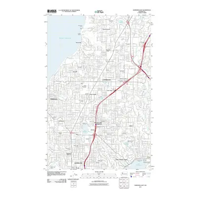
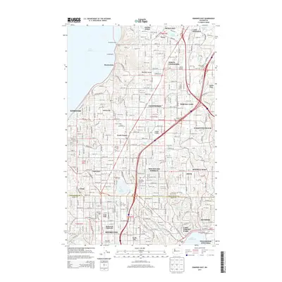
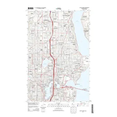
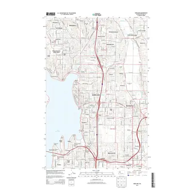
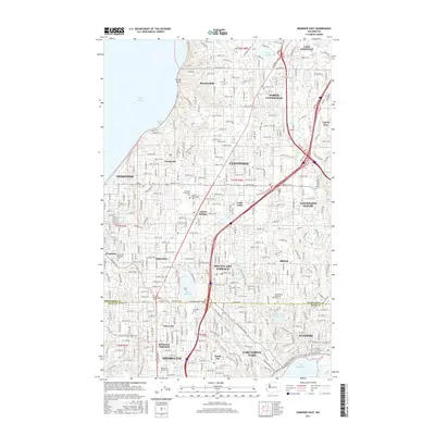
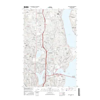
(20)- 2011 Map of Seattle North, 2011 Print
 2011 Seattle North2011 Print · USGSCovers Kenmore, including Seattle, Kirkland, and other nearby areas
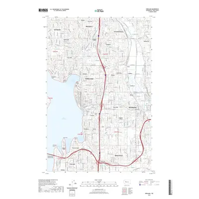
 - 2011 Map of Edmonds East, 2011 Print
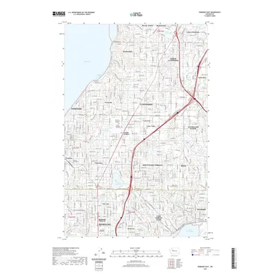
 2011 Edmonds East2011 Print · USGSCovers Kenmore, including Shoreline, Edmonds, and other nearby areas
 - 2011 Map of Bothell, 2011 Print
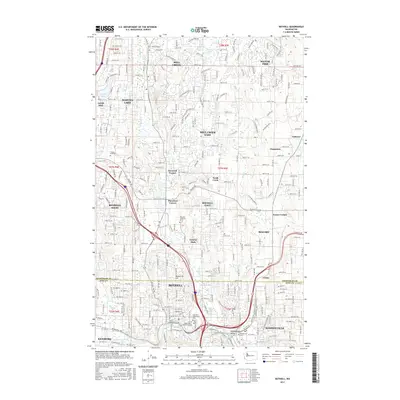
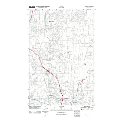 2011 Bothell2011 Print · USGSCovers Kenmore, including Bothell, Silver Firs, and other nearby areas
 - 2011 Map of Kirkland, 2011 Print
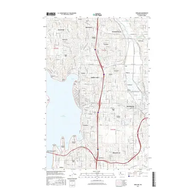
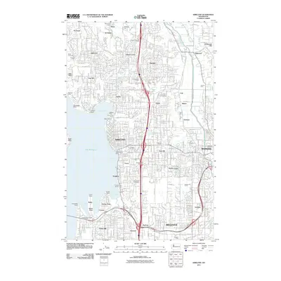 2011 Kirkland2011 Print · USGSCovers Kenmore, including Seattle, Bellevue, and other nearby areas
 - 2014 Map of Bothell, 2014 Print
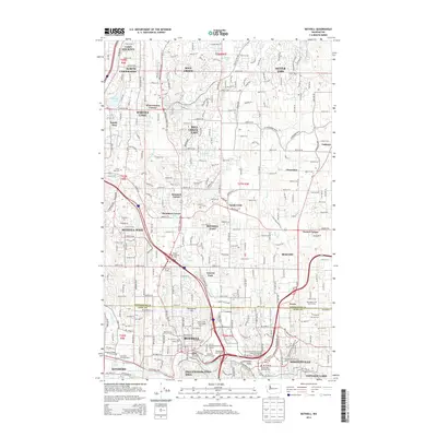 2014 Bothell2014 Print · USGSCovers Kenmore, including Bothell, Silver Firs, and other nearby areas
 - 2014 Map of Edmonds East, 2014 Print
 2014 Edmonds East2014 Print · USGSCovers Kenmore, including Shoreline, Edmonds, and other nearby areas
 - 2014 Map of Seattle North, 2014 Print
 2014 Seattle North2014 Print · USGSCovers Kenmore, including Seattle, Kirkland, and other nearby areas
 - 2014 Map of Kirkland, 2014 Print
 2014 Kirkland2014 Print · USGSCovers Kenmore, including Seattle, Bellevue, and other nearby areas
 - 2017 Map of Edmonds East, 2017 Print
 2017 Edmonds East2017 Print · USGSCovers Kenmore, including Shoreline, Edmonds, and other nearby areas
 - 2017 Map of Kirkland, 2017 Print
 2017 Kirkland2017 Print · USGSCovers Kenmore, including Seattle, Bellevue, and other nearby areas
 - 2017 Map of Bothell, 2017 Print
 2017 Bothell2017 Print · USGSCovers Kenmore, including Bothell, Silver Firs, and other nearby areas
 - 2017 Map of Seattle North, 2017 Print
 2017 Seattle North2017 Print · USGSCovers Kenmore, including Seattle, Kirkland, and other nearby areas
 - 2020 Map of Edmonds East, 2020 Print
 2020 Edmonds East2020 Print · USGSCovers Kenmore, including Shoreline, Edmonds, and other nearby areas
 - 2020 Map of Bothell, 2020 Print
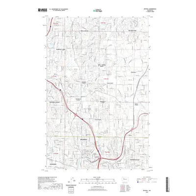 2020 Bothell2020 Print · USGSCovers Kenmore, including Bothell, Silver Firs, and other nearby areas
 - 2020 Map of Seattle North, 2020 Print
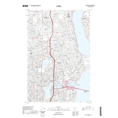 2020 Seattle North2020 Print · USGSCovers Kenmore, including Seattle, Kirkland, and other nearby areas
 - 2020 Map of Kirkland, 2020 Print
 2020 Kirkland2020 Print · USGSCovers Kenmore, including Seattle, Bellevue, and other nearby areas
 - 2023 Map of Kirkland, 2023 Print
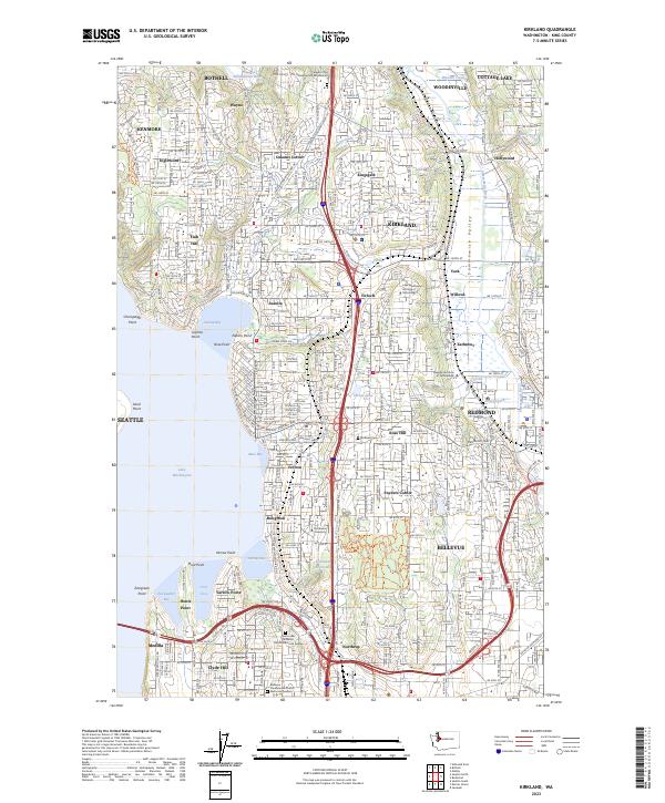 2023 Kirkland2023 Print · USGSThe eastern shores of Lake Washington and the Sammamish Valley are captured here during a period of intense suburban maturity. Researchers can trace local landmarks like Kirkland Cem, Northwest University, and neighborhood hubs like Finn Hill and Houghton.
 - 2023 Map of Seattle North, 2023 Print
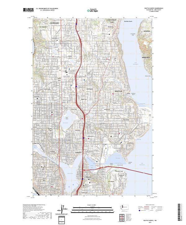 2023 Seattle North2023 Print · USGSNorthern Seattle and the surrounding communities of Shoreline and Lake Forest Park are shown in high detail during the 2020s. Researchers can locate specific sites from the University of Washington to historic burial grounds like Evergreen-Washelli Memorial Park West and Calvary Cem.
 - 2023 Map of Edmonds East, 2023 Print
 2023 Edmonds East2023 Print · USGSThe northern Seattle suburbs near the Snohomish county line appear in high detail during this era of modern residential expansion. Genealogists and local historians can trace burial sites like Abbey View Memorial Park or explore the geography of Lake Ballinger and Perrinville.
 - 2023 Map of Bothell, 2023 Print
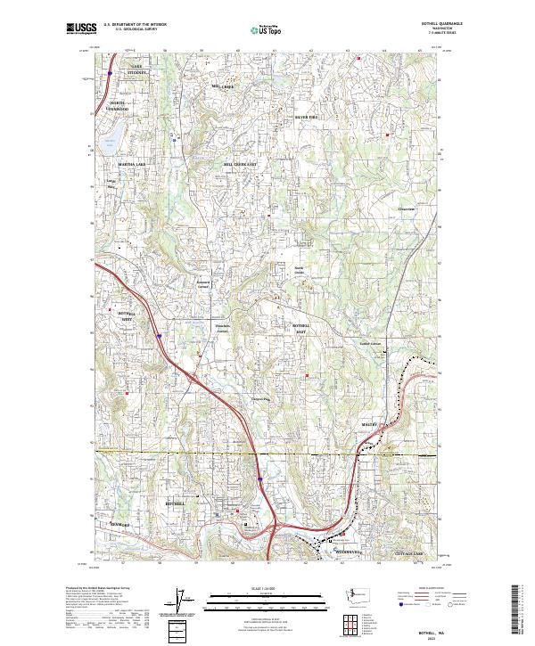 2023 Bothell2023 Print · USGSThe Bothell and Woodinville area is documented here at the turn of the decade, showing the dense growth of the Snohomish-King county corridor. Trace family history and local land use through landmarks like Bothell Pioneer Cem, Martha Lake, and the Sammamish River.
End of results
Showing maps 1-20 of 20
Top cities near Kenmore
- Seattle historical maps
- Bellevue historical maps
- Everett historical maps
- Renton historical maps
- Kirkland historical maps
- Redmond historical maps
See more
Top neighborhoods of Kenmore
- Moorlands historical maps
- Lake Terrace Court Mobile Home Park historical maps
- Lakewood Mobile Home Park historical maps
- Lakewood Villa Mobile Home Park historical maps
- Inglewood Estates Mobile Home Park historical maps
Frequently asked questions
- What are the different types of historical maps available for Kenmore?
- What is the oldest map of Kenmore?
- Where can I purchase historical maps of Kenmore for my home or office?
- Where can I download high-res historical maps of Kenmore?
- Are there historical topographic maps available for Kenmore?
- Is there historical aerial imagery available for Kenmore?
- Where are historical maps of Kenmore sourced from?