Old Maps of Lemolo, Washington for Genealogy
Trace your family roots with 6 historic maps of Lemolo. These high-res maps reveal old neighborhoods, homesites, landmarks, and streets — helping you uncover where your ancestors lived and how the area evolved over time.
- Explore historic neighborhoods: Identify where your relatives may have lived in the 1800s or 1900s.
- Compare maps over time: Trace the changes in streets, buildings, and landmarks for multi-generational research.
- Perfect for genealogy & ancestry research: Used by family historians and researchers to map out lineage and migration.
These maps are an incredible resource for exploring your personal connection to Lemolo's past.
Lemolo, WA maps
(6)- 1913 Map of Cedar Lake
 1913 Cedar Lake1913 Print · USGSThe foothills and peaks of the Cascades appear here just before World War I as industry pushed into the wilderness. Trace early timber and rail history through Kerriston, Selleck, and the Cedar Falls Power Plant.5 unique versions available
 - 1953 Map of Eagle Gorge, 1955 Print
 1953 Eagle Gorge1955 Print · USGSThe King County backcountry and its vital water infrastructure are detailed here in the mid-fifties. Researchers can trace the path of the Northern Pacific Railroad past Selleck and the Tacoma Water Supply Intake.3 unique versions available
 - 1957 Map of Wenatchee, 1973 Print
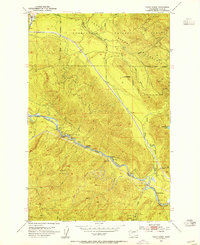
 1957 Wenatchee1973 Print · USGSThe northern Cascades and Columbia River valley appear here in the mid-fifties, showing the region's critical rail and transit corridors. Researchers can trace the routes of the Great Northern RR and Milwaukee Road through settlements like Skykomish, Baring, and Dryden.2 unique versions available
 - 1975 Map of Snoqualmie Pass, 1977 Print
 1975 Snoqualmie Pass1977 Print · USGSThe central Cascades are shown here in the mid-seventies, just as the regional balance between industrial timber, rail transport, and recreation was shifting. Genealogists and hikers can trace old rail stops like Lester and Nagrom, or follow the Pacific Crest National Scenic Trail past Keechelus Lake.
 - 1993 Map of Eagle Gorge
 1993 Eagle Gorge1993 Print · USGSKing County's industrial and municipal water systems are on full display in the early nineties, focused on the Green River Watershed. Researchers can trace utility history through the Aqueduct, Purification Plant, and the Tacoma Water Supply Intake near Eagle Gorge.
 - 2023 Map of Eagle Gorge, 2023 Print
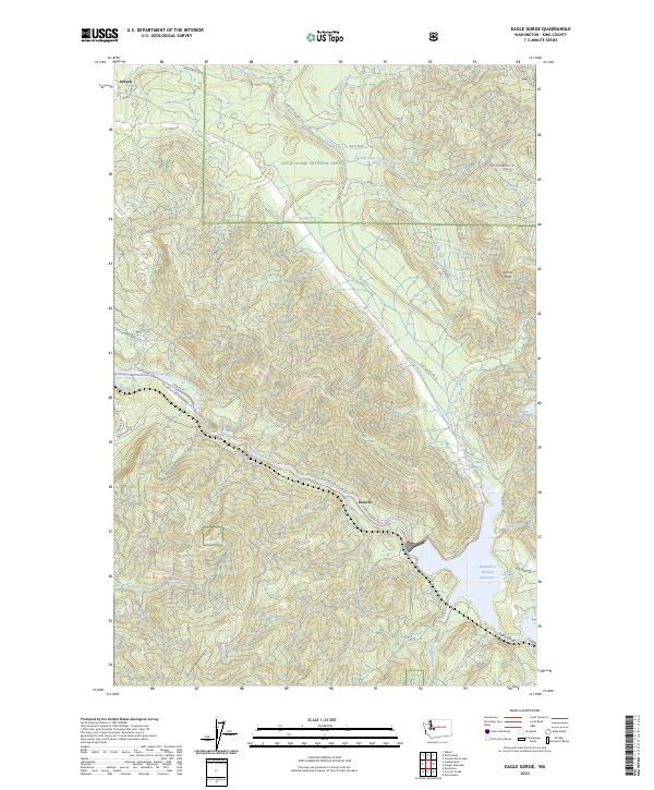 2023 Eagle Gorge2023 Print · USGSSelleck and the upper Green River watershed are documented here in the early twenty-first century, showing a landscape defined by timber and water. Trace the logging roads near Page Mill Pond or locate historic landmarks like Eagle Gorge and Ghost Point.
End of results
Showing maps 1-6 of 6
Top cities near Lemolo
- Kent historical maps
- Issaquah historical maps
- Maple Valley historical maps
- Enumclaw historical maps
- Snoqualmie historical maps
- Hobart historical maps
See more
Frequently asked questions
- What are the different types of historical maps available for Lemolo?
- What is the oldest map of Lemolo?
- Where can I purchase historical maps of Lemolo for my home or office?
- Where can I download high-res historical maps of Lemolo?
- Are there historical topographic maps available for Lemolo?
- Is there historical aerial imagery available for Lemolo?
- Where are historical maps of Lemolo sourced from?