Old Maps of Miller River, Washington for Academic Research
Study the evolution of Miller River with 10 high-resolution historic maps. Whether you're teaching, researching, or modeling changes in land use, these maps provide essential visual documentation of urban, environmental, and geographic change.
- Analyze long-term change: Track patterns in development, transportation, and natural features.
- Ideal for environmental or urban studies: Support academic projects with primary historical map data.
- Use in the classroom or lab: Educators and researchers rely on these maps to bring historical context to life.
These maps are a powerful tool for teaching, research, and visualizing how Miller River has changed over the decades.
Miller River, WA maps
(10)- 1902 Map of Skykomish
 1902 Skykomish1902 Print · USGSThe central Cascades were defined by the rail corridor at the turn of the century as the high passes were first conquered. Genealogists and historians can trace early mountain settlements like Monte Cristo, Mineral City, and Skykomish along the Great Northern Railway.
 - 1905 Map of Skykomish
 1905 Skykomish1905 Print · USGSThe central Cascades at the start of the century reveal a landscape of high-altitude mining and the engineering of the Great Northern railroad. Trace early mountain settlements like Monte Cristo, the rail siding at Tonga, and the original Cascade Tunnel.7 unique versions available
 - 1957 Map of Wenatchee, 1973 Print
 1957 Wenatchee1973 Print · USGSThe northern Cascades and Columbia River valley appear here in the mid-fifties, showing the region's critical rail and transit corridors. Researchers can trace the routes of the Great Northern RR and Milwaukee Road through settlements like Skykomish, Baring, and Dryden.2 unique versions available
 - 1965 Map of Grotto, 1967 Print
 1965 Grotto1967 Print · USGSThe Cascades in the mid-1960s reveal a mix of industrial extraction and high-altitude wilderness along the Skykomish River. Trace the path of the Great Northern Railway past Grotto to find remote landmarks like the Cleopatra Mine and Lake Kanim.4 unique versions available
 - 1975 Map of Skykomish River, 1977 Print
 1975 Skykomish River1977 Print · USGSThe Cascades meet the river valleys in the mid-seventies, showing the vital rail corridors and mountain towns along the Skykomish River. Researchers can trace the path of the Pacific Crest National Scenic Trail and locate historic sites like State Reformatory Farm No 2 and the Old Cascade Tunnel.2 unique versions available
 - 2011 Map of Grotto, 2011 Print
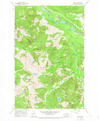
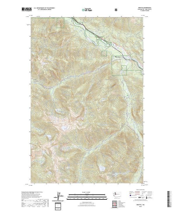
 2011 Grotto2011 Print · USGSCovers Miller River, including Grotto, King County, and other nearby areas
 - 2014 Map of Grotto, 2014 Print
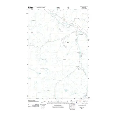
 2014 Grotto2014 Print · USGSCovers Miller River, including Grotto, King County, and other nearby areas
 - 2017 Map of Grotto, 2017 Print
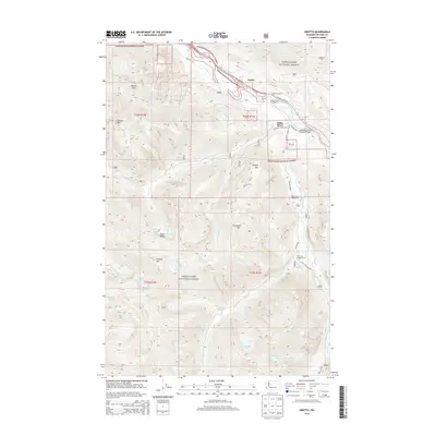
 2017 Grotto2017 Print · USGSCovers Miller River, including Grotto, King County, and other nearby areas
 - 2020 Map of Grotto, 2020 Print
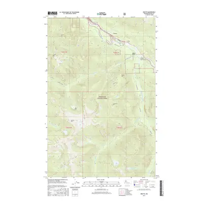
 2020 Grotto2020 Print · USGSCovers Miller River, including Grotto, King County, and other nearby areas
 - 2023 Map of Grotto, 2023 Print
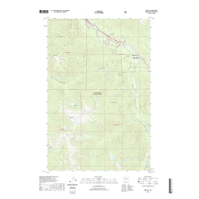
 2023 Grotto2023 Print · USGSThe Cascades come into focus in this contemporary survey of the Skykomish corridor, showcasing the alpine terrain between Grotto and Miller River. Researchers can trace remote mountain access via NFD 6031 Rd or locate high-country features like Lennox Mtn and Francis Lake.
End of results
Showing maps 1-10 of 10
Top cities near Miller River
Frequently asked questions
- What are the different types of historical maps available for Miller River?
- What is the oldest map of Miller River?
- Where can I purchase historical maps of Miller River for my home or office?
- Where can I download high-res historical maps of Miller River?
- Are there historical topographic maps available for Miller River?
- Is there historical aerial imagery available for Miller River?
- Where are historical maps of Miller River sourced from?