Old Maps of Trossachs, Sammamish for Metal Detecting
Plan your next treasure hunt with 11 historic maps of Trossachs. Find old homesites, ghost towns, trails, and gathering spots that may be lost to time — perfect for identifying promising metal detecting locations.
- Locate forgotten sites: Uncover places like long-lost settlements, abandoned rail lines, or gathering spots.
- Plan better hunts: Use map overlays combined with LiDAR or satellite views to narrow in on historically rich areas.
- Made for detectorists: Thousands of hobbyists use these maps to discover relics, coins, and hidden history.
Use these historic maps to boost your research and find new opportunities beneath the surface of Trossachs.
Trossachs, Sammamish maps
(11)- 1921 Map of Sultan
 1921 Sultan1921 Print · USGSThe Snoqualmie and Skykomish river valleys are defined by timber and rail in the 1920s. Researchers can trace early industry through the Apex Mines, Coke Ovens, and rural schools like Mountain View School.4 unique versions available
 - 1923 Map of Sultan
 1923 Sultan1923 Print · USGSThe Skykomish and Snoqualmie river valleys thrive in the early twenties as centers of timber and rail. Genealogists can trace family roots through rural sites like Forest Glade School or follow the Lumber RR lines to the Apex Mines.4 unique versions available
 - 1953 Map of Fall City, 1955 Print
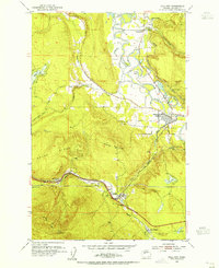 1953 Fall City1955 Print · USGSKing County's river valleys and timbered ridges are captured here during the 1950s, showing the intersection of rail and river life. Genealogists and historians can trace the foundations of Fall City and Preston, or locate the Reynolds Mine and Fall City Cemetery.5 unique versions available
 - 1957 Map of Wenatchee, 1973 Print
 1957 Wenatchee1973 Print · USGSThe northern Cascades and Columbia River valley appear here in the mid-fifties, showing the region's critical rail and transit corridors. Researchers can trace the routes of the Great Northern RR and Milwaukee Road through settlements like Skykomish, Baring, and Dryden.2 unique versions available
 - 1975 Map of Skykomish River, 1977 Print
 1975 Skykomish River1977 Print · USGSThe Cascades meet the river valleys in the mid-seventies, showing the vital rail corridors and mountain towns along the Skykomish River. Researchers can trace the path of the Pacific Crest National Scenic Trail and locate historic sites like State Reformatory Farm No 2 and the Old Cascade Tunnel.2 unique versions available
 - 1993 Map of Fall City
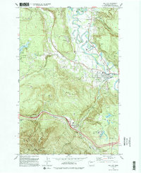 1993 Fall City1993 Print · USGSKing County's river valleys and foothills are captured here in the early nineties as suburban development began to blend with rural landscapes. Genealogists and historians can locate the Fall City Cemetery and trace the paths of the Old RR Grade and Tiger Mountain Trail.
 - 2011 Map of Fall City, 2011 Print
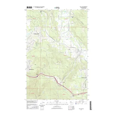
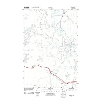 2011 Fall City2011 Print · USGSCovers Trossachs, including Sammamish, Issaquah, and other nearby areas
 - 2014 Map of Fall City, 2014 Print
 2014 Fall City2014 Print · USGSCovers Trossachs, including Sammamish, Issaquah, and other nearby areas
 - 2017 Map of Fall City, 2017 Print
 2017 Fall City2017 Print · USGSCovers Trossachs, including Sammamish, Issaquah, and other nearby areas
 - 2020 Map of Fall City, 2020 Print
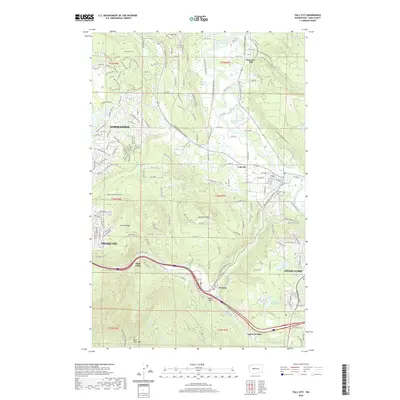 2020 Fall City2020 Print · USGSCovers Trossachs, including Sammamish, Issaquah, and other nearby areas
 - 2023 Map of Fall City, 2023 Print
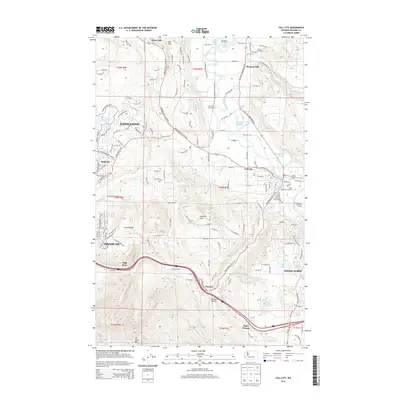
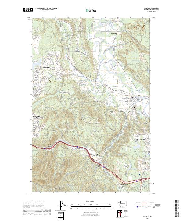 2023 Fall City2023 Print · USGSThe Snoqualmie River valley is captured here in the early twenty-first century, showing the interface between growing suburbs and timber-industry heritage. Trace local genealogy and history through the Fall City Cem, the waters of Preston Mill Pond, and landmarks like Teaters Bluff.
End of results
Showing maps 1-11 of 11
Top cities near Trossachs
- Bellevue historical maps
- Kent historical maps
- Renton historical maps
- Kirkland historical maps
- Redmond historical maps
- Sammamish historical maps
See more
Frequently asked questions
- What are the different types of historical maps available for Trossachs?
- What is the oldest map of Trossachs?
- Where can I purchase historical maps of Trossachs for my home or office?
- Where can I download high-res historical maps of Trossachs?
- Are there historical topographic maps available for Trossachs?
- Is there historical aerial imagery available for Trossachs?
- Where are historical maps of Trossachs sourced from?