2000s (21st Century) Maps of Innis Arden, Shoreline
Explore 20 historic maps of Innis Arden from the 2000s (21st Century). These maps offer a rare glimpse into what life looked like during the 2000s — showing old roads, neighborhoods, homes, and landmarks that have changed or disappeared over time.
Whether you're researching your family's past, planning a metal detecting trip, or studying how Innis Arden's landscape evolved across the 2000s, these high-resolution maps are a powerful tool for exploring the history of this region.
- Focus on a specific era: All maps on this page are from the 2000s, giving you a focused view of this time period.
- See what’s changed: Compare century-old streets, trails, and buildings to today's modern landscape using overlays and satellite layers.
- Research with precision: Use these maps for genealogy, historical research, land use analysis, or educational projects.
- View, download, or print: Maps are fully viewable online in high resolution, and can be downloaded or printed for your own records.
Start exploring Innis Arden's history through authentic maps from the 2000s. This is your window into the past.
Innis Arden, Shoreline maps
(20)- 2011 Map of Seattle North, 2011 Print
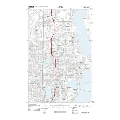 2011 Seattle North2011 Print · USGSNorth Seattle is shown in great detail at the start of the 2010s, from the shores of Lake Washington to the Puget Sound heights. Trace urban development through major landmarks like University of Washington, Washelli Cemetery, and the Woodland Park Zoo.
- 2011 Map of Edmonds East, 2011 Print
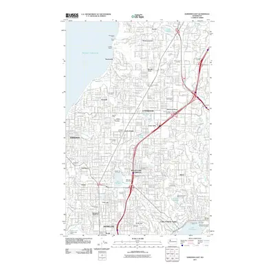 2011 Edmonds East2011 Print · USGSSnohomish and King County suburbs are captured in high detail during the early 2010s. Researchers can trace the path of the Interurban Trail or locate family sites at Holyrood Cemetery and Abbey View Memorial Park.
- 2011 Map of Edmonds West, 2011 Print
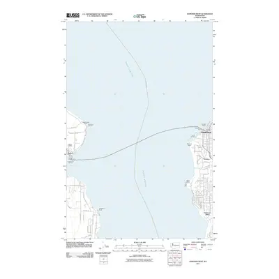 2011 Edmonds West2011 Print · USGSThe Puget Sound shoreline comes alive in this 2011 survey of the maritime corridor between Edmonds and Kingston. Trace the vital ferry connections between Edmonds Ferry Landing and Kingston Ferry Landing, or locate local landmarks like Apple Cove Point Light.
- 2011 Map of Shilshole Bay, 2011 Print
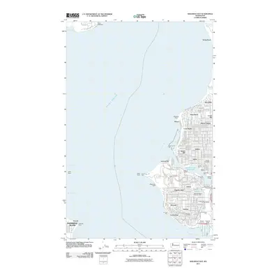 2011 Shilshole Bay2011 Print · USGSSeattle's maritime and military heritage is on full display in this 2011 survey of the city's northwestern coast as it appeared just over a decade ago. Researchers can trace the industrial pulse of the Lake Washington Ship Canal or locate local landmarks like the Fort Lawton Military Cemetery and Salmon Bay Fishermens Terminal.
- 2014 Map of Shilshole Bay, 2014 Print
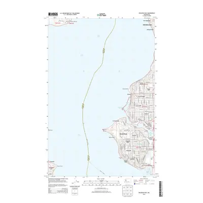 2014 Shilshole Bay2014 Print · USGSNorthwest Seattle's maritime character is captured here in the early twenty-first century, from the residential heights to the busy waterfront. Researchers can trace the legacy of Ft Lawton, the industrial Smith Cove Waterway, and the historic Ballard district.
- 2014 Map of Edmonds West, 2014 Print
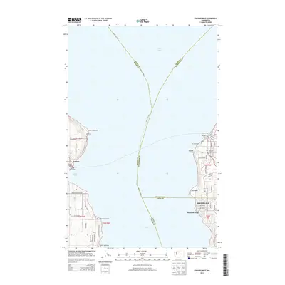 2014 Edmonds West2014 Print · USGSPuget Sound maritime life is documented here in the early twenty-first century as ferry routes connect the Kitsap and Snohomish coasts. Trace local navigation markers and harbors from the Apple Cove Point Light to the busy Port of Edmonds.
- 2014 Map of Edmonds East, 2014 Print
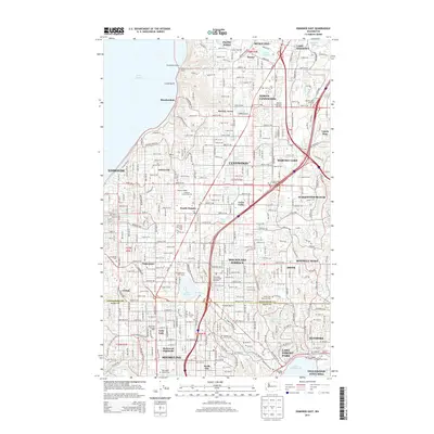 2014 Edmonds East2014 Print · USGSCoastal communities meet burgeoning suburban centers at the King and Snohomish county line during the mid-2010s. Researchers can trace the development of established neighborhoods like Alderwood Manor and Esperance alongside landmarks like Lake Ballinger.
- 2014 Map of Seattle North, 2014 Print
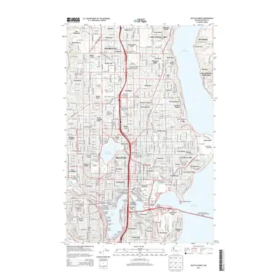 2014 Seattle North2014 Print · USGSNorthern Seattle and the Shoreline area are shown in comprehensive detail just as the modern tech era was reshaping the region. Researchers can locate long-standing institutions like the University of Washington and historic cemeteries including Washelli Cem or Acacia Memorial Park.
- 2017 Map of Edmonds East, 2017 Print
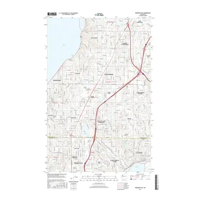 2017 Edmonds East2017 Print · USGSThe north Puget Sound suburbs are shown in detail during the late 2010s, capturing the residential growth of Snohomish and King Counties. Researchers can trace local heritage through sites like Holyrood Cem, Lake Ballinger, and the Tolt Pipeline Trail.
- 2017 Map of Shilshole Bay, 2017 Print
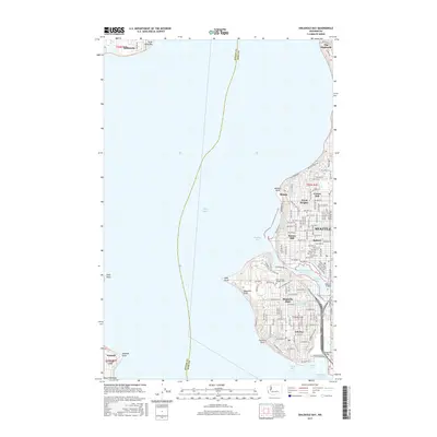 2017 Shilshole Bay2017 Print · USGSThe Seattle waterfront and maritime corridors are captured here in the late twenty-teens, showing the city's western neighborhoods and Puget Sound. Trace local landmarks like Fort Lawton Military Cem, the Ballard district, and Magnolia Bluff.
- 2017 Map of Edmonds West, 2017 Print
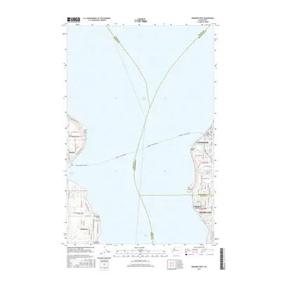 2017 Edmonds West2017 Print · USGSThe waters of the northern Puget Sound in the mid-2010s are anchored by the busy transit corridor between the mainland and the Kitsap Peninsula. Trace the coastal growth of Edmonds and Shoreline or locate waterfront landmarks like Point Wells and the historic Kingston ferry landing.
- 2017 Map of Seattle North, 2017 Print
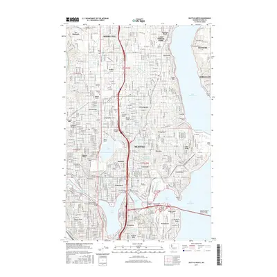 2017 Seattle North2017 Print · USGSNorthern Seattle and Shoreline are captured here in the late twenty-tens, showing the established residential grids and vital water corridors. Researchers can trace historic burial sites at Evergreen Washelli Cemetery and campus layouts for the University of Washington.
- 2020 Map of Edmonds East, 2020 Print
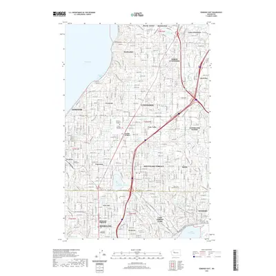 2020 Edmonds East2020 Print · USGSThe Puget Sound shoreline and northern King County suburbs are meticulously detailed in this recent 2020 topographic survey. Genealogists and researchers can trace local landmarks from Edmonds Memorial Cem to Lake Ballinger, alongside the developed centers of Edmonds and Shoreline.
- 2020 Map of Shilshole Bay, 2020 Print
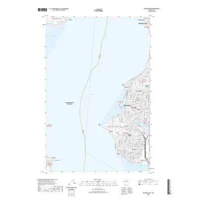 2020 Shilshole Bay2020 Print · USGSCoastal Seattle and the Ballard waterfront are shown here in the contemporary era, illustrating the dense urban grid between the sound and the ship canal. Trace family roots and local change near Fort Lawton Military Cem, Magnolia Bluff, and the historic industrial hub at Ballard.
- 2020 Map of Edmonds West, 2020 Print
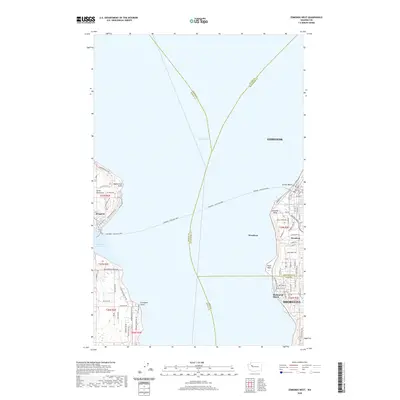 2020 Edmonds West2020 Print · USGSPuget Sound maritime traffic and coastal suburban growth define this region in the early 2020s. Trace the vital Edmonds - Kingston Ferry route between the docks at Kingston and the shoreline communities of Woodway and Richmond Beach.
- 2020 Map of Seattle North, 2020 Print
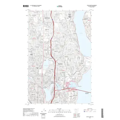 2020 Seattle North2020 Print · USGSNorth Seattle and Shoreline are shown at the start of the 2020s, revealing the modern footprint of the city's academic and maritime centers. Genealogists can trace family history at Evergreen Washelli Cem or locate landmarks like the University Bridge and Haller Lake.
- 2023 Map of Seattle North, 2023 Print
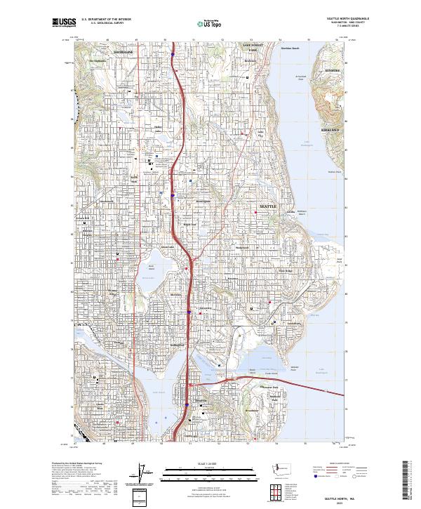 2023 Seattle North2023 Print · USGSNorthern Seattle and the surrounding communities of Shoreline and Lake Forest Park are shown in high detail during the 2020s. Researchers can locate specific sites from the University of Washington to historic burial grounds like Evergreen-Washelli Memorial Park West and Calvary Cem.
- 2023 Map of Edmonds West, 2023 Print
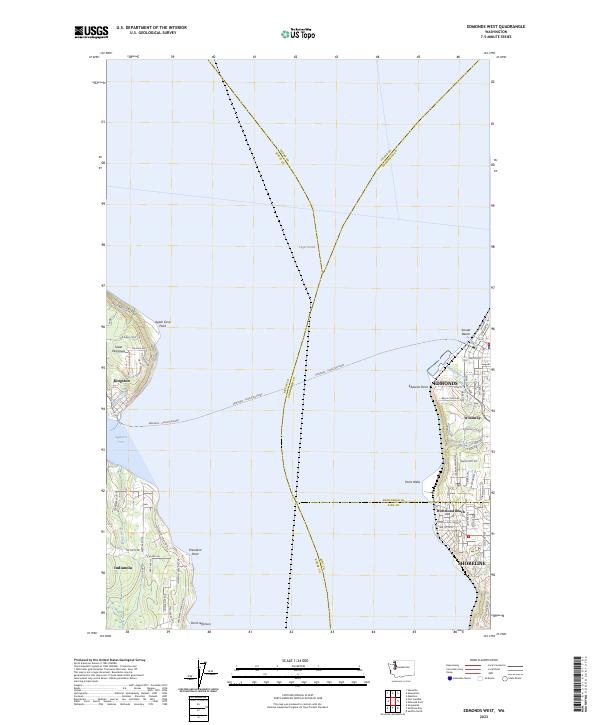 2023 Edmonds West2023 Print · USGSPuget Sound’s maritime corridors are the focus of this recent survey of the waters between Edmonds and the Great Peninsula. Trace the essential Edmonds - Kingston Ferry route and locate coastal settlements like Indianola and Woodway.
- 2023 Map of Shilshole Bay, 2023 Print
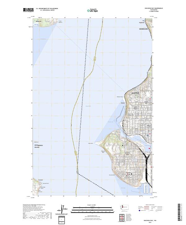 2023 Shilshole Bay2023 Print · USGSThe maritime gateway of Northwest Seattle and the Kitsap Peninsula is captured here in the early 2020s. Trace the complex shoreline from the Fort Lawton Military Cemetery to the industrial docks of Ballard and the Smith Cove Waterway.
- 2023 Map of Edmonds East, 2023 Print
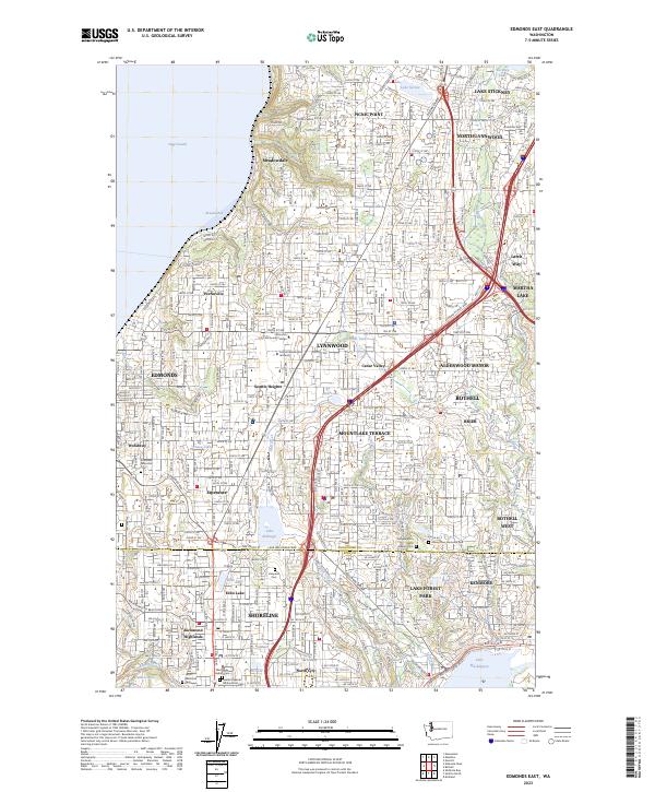 2023 Edmonds East2023 Print · USGSThe northern Seattle suburbs near the Snohomish county line appear in high detail during this era of modern residential expansion. Genealogists and local historians can trace burial sites like Abbey View Memorial Park or explore the geography of Lake Ballinger and Perrinville.
End of results
Showing maps 1-20 of 20
Frequently asked questions
- What are the different types of historical maps available for Innis Arden?
- What is the oldest map of Innis Arden?
- Where can I purchase historical maps of Innis Arden for my home or office?
- Where can I download high-res historical maps of Innis Arden?
- Are there historical topographic maps available for Innis Arden?
- Is there historical aerial imagery available for Innis Arden?
- Where are historical maps of Innis Arden sourced from?