2000s (21st Century) Maps of Tanner, Washington
Explore 10 historic maps of Tanner from the 2000s (21st Century). These maps offer a rare glimpse into what life looked like during the 2000s — showing old roads, neighborhoods, homes, and landmarks that have changed or disappeared over time.
Whether you're researching your family's past, planning a metal detecting trip, or studying how Tanner's landscape evolved across the 2000s, these high-resolution maps are a powerful tool for exploring the history of this region.
- Focus on a specific era: All maps on this page are from the 2000s, giving you a focused view of this time period.
- See what’s changed: Compare century-old streets, trails, and buildings to today's modern landscape using overlays and satellite layers.
- Research with precision: Use these maps for genealogy, historical research, land use analysis, or educational projects.
- View, download, or print: Maps are fully viewable online in high resolution, and can be downloaded or printed for your own records.
Start exploring Tanner's history through authentic maps from the 2000s. This is your window into the past.
Tanner, WA maps
(10)- 2011 Map of North Bend, 2011 Print
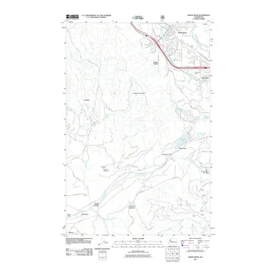 2011 North Bend2011 Print · USGSCovers Tanner, including North Bend, Riverbend, and other nearby areas
 - 2011 Map of Chester Morse Lake, 2011 Print
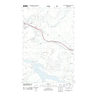 2011 Chester Morse Lake2011 Print · USGSCovers Tanner, including Riverbend, Edgewick, and other nearby areas
 - 2014 Map of North Bend, 2014 Print
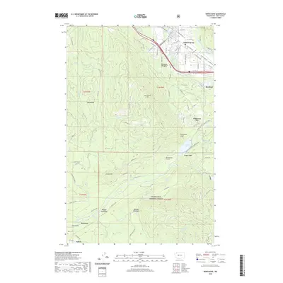
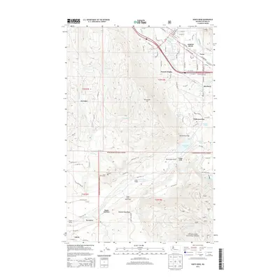 2014 North Bend2014 Print · USGSCovers Tanner, including North Bend, Riverbend, and other nearby areas
 - 2014 Map of Chester Morse Lake, 2014 Print
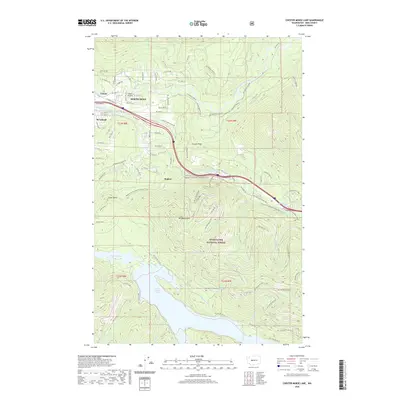
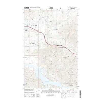 2014 Chester Morse Lake2014 Print · USGSCovers Tanner, including Riverbend, Edgewick, and other nearby areas
 - 2017 Map of Chester Morse Lake, 2017 Print
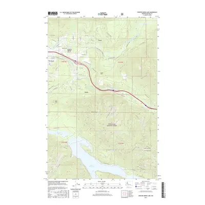 2017 Chester Morse Lake2017 Print · USGSCovers Tanner, including Riverbend, Edgewick, and other nearby areas
 - 2017 Map of North Bend, 2017 Print
 2017 North Bend2017 Print · USGSCovers Tanner, including North Bend, Riverbend, and other nearby areas
 - 2020 Map of Chester Morse Lake, 2020 Print
 2020 Chester Morse Lake2020 Print · USGSCovers Tanner, including Riverbend, Edgewick, and other nearby areas
 - 2020 Map of North Bend, 2020 Print
 2020 North Bend2020 Print · USGSCovers Tanner, including North Bend, Riverbend, and other nearby areas
 - 2023 Map of North Bend, 2023 Print
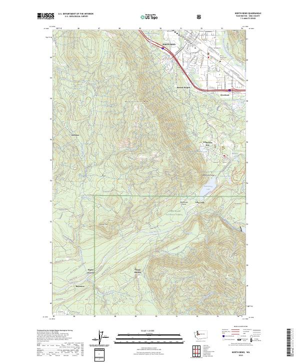 2023 North Bend2023 Print · USGSNorth Bend and the Snoqualmie Valley are shown here in the 2020s, bridging the gap between suburban growth and the mountain wilderness. Researchers can trace the legacy of timber and rail history at sites like Kerriston, Barneston, and Snoose Junction.
 - 2023 Map of Chester Morse Lake, 2023 Print
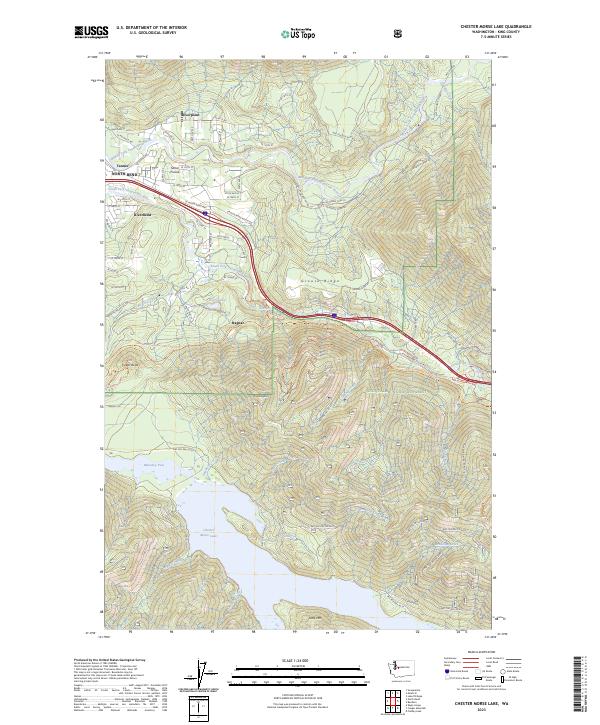 2023 Chester Morse Lake2023 Print · USGSThe foothills of the Cascades meet the suburban edge in this 2023 survey of King County. You can trace the complex watershed from Chester Morse Lake up to Mt Washington, or explore the residential layouts of Riverbend, Ragnar, and Sallal Prairie near the river forks.
End of results
Showing maps 1-10 of 10
Top cities near Tanner
- Snoqualmie historical maps
- North Bend historical maps
- Carnation historical maps
- Riverbend historical maps
- Fall City historical maps
Top neighborhoods of Tanner
- Riverpoint historical maps
- Traverse historical maps
- Mount Si Mobile Park historical maps
- River Si Estates historical maps
Frequently asked questions
- What are the different types of historical maps available for Tanner?
- What is the oldest map of Tanner?
- Where can I purchase historical maps of Tanner for my home or office?
- Where can I download high-res historical maps of Tanner?
- Are there historical topographic maps available for Tanner?
- Is there historical aerial imagery available for Tanner?
- Where are historical maps of Tanner sourced from?