Old Maps of Warrenville, Washington for Metal Detecting
Plan your next treasure hunt with 13 historic maps of Warrenville. Find old homesites, ghost towns, trails, and gathering spots that may be lost to time — perfect for identifying promising metal detecting locations.
- Locate forgotten sites: Uncover places like long-lost settlements, abandoned rail lines, or gathering spots.
- Plan better hunts: Use map overlays combined with LiDAR or satellite views to narrow in on historically rich areas.
- Made for detectorists: Thousands of hobbyists use these maps to discover relics, coins, and hidden history.
Use these historic maps to boost your research and find new opportunities beneath the surface of Warrenville.
Warrenville, WA maps
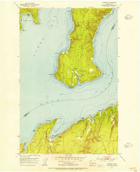
(13)- 1936 Map of Point Misery, 1958 Print
 1936 Point Misery1958 Print · USGSCommunities along the Hood Canal thrived on timber and maritime trade in the mid-1930s. Genealogists and historians can trace local landmarks like Seabeck, the Lewis Lumber Co, and the Brinnon Seabeck Ferry route.3 unique versions available
 - 1940 Map of Point Misery
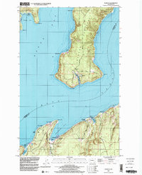
 1940 Point Misery1940 Print · USGSCoastal life along the Hood Canal and Dabob Bay is caught in detail just before the mid-century, from timber operations to maritime crossings. Genealogists and historians can trace the Brinnon Seabeck Ferry, identify the Barney White Ranch, and locate the Seabeck Sch.
 - 1953 Map of Seabeck, 1954 Print
 1953 Seabeck1954 Print · USGSHood Canal and the Toandos Peninsula are seen here in the early fifties, documenting a landscape of small coastal settlements and timbered creeks. Researchers can locate Camp Parsons, the village of Coyle, and the historic Conference Grounds at Seabeck.4 unique versions available
 - 1958 Map of Seattle, 1966 Print
 1958 Seattle1966 Print · USGSThe Puget Sound region in the mid-fifties showcases a balance of urban growth and Olympic wilderness. Trace the industrial waterfronts of Tacoma, old naval facilities like Keyport Naval Res, and mountain peaks like Mount Constance.3 unique versions available
 - 1962 Map of Seattle
 1962 Seattle1962 Print · USGSThe Puget Sound region and Olympic Peninsula are shown at a peak of mid-century growth. Genealogists and historians can trace rail lines like the Pacific Coast RR or locate landmarks such as Fort Lawton and the Bothell Power Station.
 - 1975 Map of Seattle, 1977 Print
 1975 Seattle1977 Print · USGSThe Puget Sound region in the mid-seventies shows a landscape of rapid suburban growth and vital maritime industry. Researchers can trace the development of Eastside hubs like Bellevue or examine the rail and naval infrastructure of Bremerton and Paine Field.
 - 1992 Map of Seattle, 1993 Print
 1992 Seattle1993 Print · USGSThe Seattle metropolitan area and Puget Sound are shown here in the early nineties during a period of rapid suburban and technological growth. Researchers can trace the development of Mercer Island, locate the Bangor Naval Submarine Base, and study the industrial layout of Boeing Field.2 unique versions available
 - 1997 Map of Seabeck, 2003 Print
 1997 Seabeck2003 Print · USGSThe shorelines of the Kitsap and Toandos Peninsulas are captured here in the late 1990s as the regional maritime economy and naval presence shaped the land. Researchers can trace local landmarks like Camp Parsons, the settlement at Warrenville, and the waters of Big Beef Harbor.
 - 2011 Map of Seabeck, 2011 Print
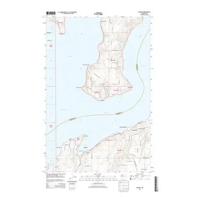
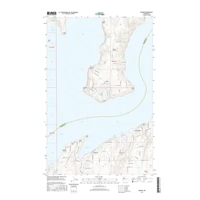
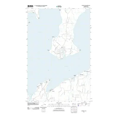 2011 Seabeck2011 Print · USGSCovers Warrenville, including Lawters Beach, Coyle, and other nearby areas
 - 2014 Map of Seabeck, 2014 Print
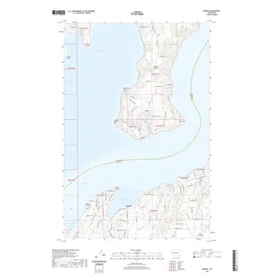
 2014 Seabeck2014 Print · USGSCovers Warrenville, including Lawters Beach, Coyle, and other nearby areas
 - 2017 Map of Seabeck, 2017 Print
 2017 Seabeck2017 Print · USGSCovers Warrenville, including Lawters Beach, Coyle, and other nearby areas
 - 2020 Map of Seabeck, 2020 Print
 2020 Seabeck2020 Print · USGSCovers Warrenville, including Lawters Beach, Coyle, and other nearby areas
 - 2023 Map of Seabeck, 2023 Print
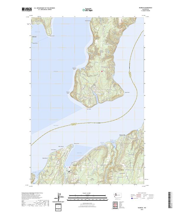 2023 Seabeck2023 Print · USGSThe Kitsap and Jefferson County shorelines are revealed in detail here, showing the modern settlements along the Hood Canal. Researchers can pinpoint family sites at the Seabeck Cem or trace the coastal roads through Coyle and Warrenville.
End of results
Showing maps 1-13 of 13
Top cities near Warrenville
- Bremerton historical maps
- Bainbridge Island historical maps
- Silverdale historical maps
- Port Orchard historical maps
- Poulsbo historical maps
- Parkwood historical maps
See more
Frequently asked questions
- What are the different types of historical maps available for Warrenville?
- What is the oldest map of Warrenville?
- Where can I purchase historical maps of Warrenville for my home or office?
- Where can I download high-res historical maps of Warrenville?
- Are there historical topographic maps available for Warrenville?
- Is there historical aerial imagery available for Warrenville?
- Where are historical maps of Warrenville sourced from?