2000s (21st Century) Maps of Driftwood Acres, Washington
Explore 6 historic maps of Driftwood Acres from the 2000s (21st Century). These maps offer a rare glimpse into what life looked like during the 2000s — showing old roads, neighborhoods, homes, and landmarks that have changed or disappeared over time.
Whether you're researching your family's past, planning a metal detecting trip, or studying how Driftwood Acres's landscape evolved across the 2000s, these high-resolution maps are a powerful tool for exploring the history of this region.
- Focus on a specific era: All maps on this page are from the 2000s, giving you a focused view of this time period.
- See what’s changed: Compare century-old streets, trails, and buildings to today's modern landscape using overlays and satellite layers.
- Research with precision: Use these maps for genealogy, historical research, land use analysis, or educational projects.
- View, download, or print: Maps are fully viewable online in high resolution, and can be downloaded or printed for your own records.
Start exploring Driftwood Acres's history through authentic maps from the 2000s. This is your window into the past.
Driftwood Acres, WA maps
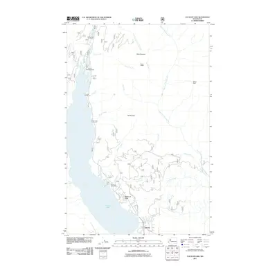
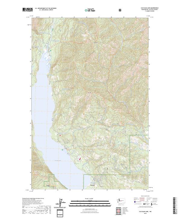
(6)- 2003 Map of Cle Elum Lake, 2006 Print
 2003 Cle Elum Lake2006 Print · USGSThe eastern slopes of the Cascades near Kittitas are shown here at the start of the millennium, highlighting the timber and water resources of the Wenatchee National Forest. Researchers can trace the shoreline developments of Lakedale or locate mining remnants like the Strip Mine and Adit near Sandstone Creek.
 - 2011 Map of Cle Elum Lake, 2011 Print
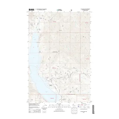
 2011 Cle Elum Lake2011 Print · USGSCovers Driftwood Acres, including Lakedale, Kittitas County, and other nearby areas
 - 2014 Map of Cle Elum Lake, 2014 Print
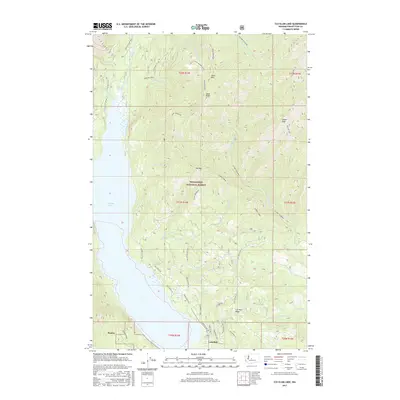
 2014 Cle Elum Lake2014 Print · USGSCovers Driftwood Acres, including Lakedale, Kittitas County, and other nearby areas
 - 2017 Map of Cle Elum Lake, 2017 Print
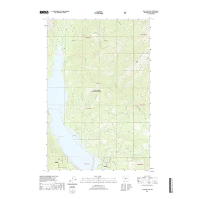
 2017 Cle Elum Lake2017 Print · USGSCovers Driftwood Acres, including Lakedale, Kittitas County, and other nearby areas
 - 2020 Map of Cle Elum Lake, 2020 Print
 2020 Cle Elum Lake2020 Print · USGSCovers Driftwood Acres, including Lakedale, Kittitas County, and other nearby areas
 - 2023 Map of Cle Elum Lake, 2023 Print
 2023 Cle Elum Lake2023 Print · USGSModern-day settlement meets the North Cascades wilderness in the early 2020s. Trace the backcountry trail system from Sasse Mtn down to the residential expansion at Lakedale and Roslyn.
End of results
Showing maps 1-6 of 6
Top cities near Driftwood Acres
Frequently asked questions
- What are the different types of historical maps available for Driftwood Acres?
- What is the oldest map of Driftwood Acres?
- Where can I purchase historical maps of Driftwood Acres for my home or office?
- Where can I download high-res historical maps of Driftwood Acres?
- Are there historical topographic maps available for Driftwood Acres?
- Is there historical aerial imagery available for Driftwood Acres?
- Where are historical maps of Driftwood Acres sourced from?