Old Maps of Lavender, Washington for Hiking & Exploration
Hike through history with 12 historic maps of Lavender. Explore old trails, ghost towns, and forgotten backroads — perfect for outdoor adventurers and local explorers.
- Rediscover forgotten places: Map out old mining camps, roads, and footpaths that no longer exist on modern maps.
- Layer with modern tools: Combine with LiDAR or satellite views to plan hikes through historical terrain.
- Made for exploration: Popular among hikers, overlanders, and local history lovers.
Use these maps to find adventure and explore the hidden past of Lavender.
Lavender, WA maps
(12)- 1901 Map of Snoqualmie Pass, 1956 Print
 1901 Snoqualmie Pass1956 Print · USGSSnoqualmie Pass and the central Cascades are seen here during the early years of transcontinental rail expansion. Trace the original Northern Pacific route through the Stampede Tunnel and past early mountain stops like Easton, Hyak, and Ronald.2 unique versions available
 - 1903 Map of Snoqualmie
 1903 Snoqualmie1903 Print · USGSThe Cascade Range at the turn of the century was a landscape of high-altitude rail engineering and timber potential. Trace the Northern Pacific RR through the Stampede Tunnel to early mountain settlements like Easton and Lester.6 unique versions available
 - 1957 Map of Wenatchee, 1973 Print
 1957 Wenatchee1973 Print · USGSThe northern Cascades and Columbia River valley appear here in the mid-fifties, showing the region's critical rail and transit corridors. Researchers can trace the routes of the Great Northern RR and Milwaukee Road through settlements like Skykomish, Baring, and Dryden.2 unique versions available
 - 1961 Map of Easton, 1963 Print
 1961 Easton1963 Print · USGSUpper Kittitas County is captured here in the early sixties, centered on the coal-mining and railroad corridor of the Yakima Valley. Local historians can trace the industrial footprint of Roslyn, Ronald, and the Roslyn-Cascade Mine 4 alongside the Lake Easton shoreline.2 unique versions available
 - 1975 Map of Snoqualmie Pass, 1977 Print
 1975 Snoqualmie Pass1977 Print · USGSThe central Cascades are shown here in the mid-seventies, just as the regional balance between industrial timber, rail transport, and recreation was shifting. Genealogists and hikers can trace old rail stops like Lester and Nagrom, or follow the Pacific Crest National Scenic Trail past Keechelus Lake.
 - 1989 Map of Ronald
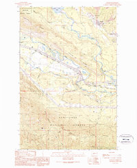 1989 Ronald1989 Print · USGSThe mining corridor between Ronald and Roslyn is captured here during the late eighties, showing the region's transition from an industrial hub to a recreational gateway. Genealogists and historians can locate the Roslyn Cascade Mine No 4, the local Cem, and the route of the John Wayne Pioneer State Park Trail (Pack).2 unique versions available
 - 2003 Map of Ronald, 2006 Print
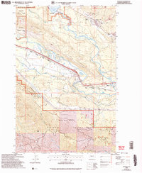 2003 Ronald2006 Print · USGSThe coal country of the upper Yakima Valley is preserved here at the start of the twenty-first century. Genealogists and industrial historians can trace the footprints of the Roslyn-Cascade Mine No 4, the Cemetery at Roslyn, and the rail-trail at Nelson.
 - 2011 Map of Ronald, 2011 Print
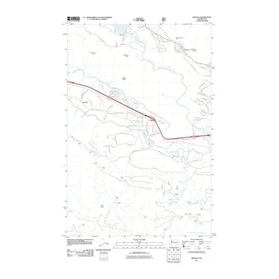 2011 Ronald2011 Print · USGSUpper Kittitas County is captured here in the early twenty-first century as industrial mining history meets modern development. Researchers can trace the layout of Ronald, find the Roslyn Cascade Mine 4, and locate the old Easton Ridge Lookout.
 - 2014 Map of Ronald, 2014 Print
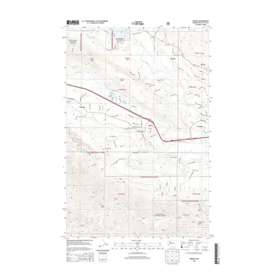 2014 Ronald2014 Print · USGSUpper Kittitas County thrives as a gateway to the Cascades in this modern survey of the historic mining corridor between Roslyn and Cle Elum. Genealogists and hikers can trace old roads like Double O Ranch Rd and locate landmarks from Easton Ridge Lookout to the small settlement of Lavender.
 - 2017 Map of Ronald, 2017 Print
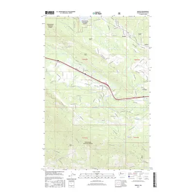 2017 Ronald2017 Print · USGSUpper Kittitas County is documented here during a period of modern expansion alongside its traditional mountain-forest borders. Local historians can trace development from the streets of Ronald and Roslyn to the recreational corridors near Cle Elum Lake and Bullfrog Pond.
 - 2020 Map of Ronald, 2020 Print
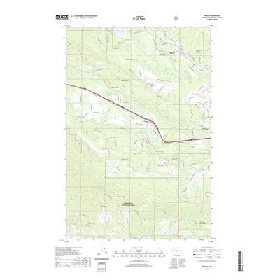 2020 Ronald2020 Print · USGSThe northern Cascades transition into the settled Kittitas Valley in this 2020 survey of the Ronald and Roslyn area. Researchers can trace the modern interface of forest and town, from the shores of Cle Elum Lake to the high elevations of Easton Ridge and Hicks Butte.
 - 2023 Map of Ronald, 2023 Print
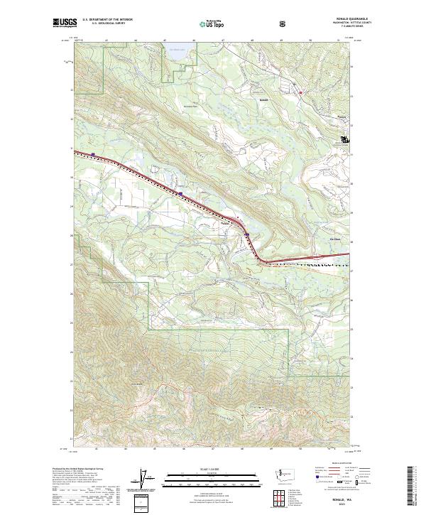 2023 Ronald2023 Print · USGSThe upper Yakima valley at the edge of the Cascades shows a landscape shaped by coal mining history and mountain recreation. Researchers can trace the Historic Roslyn Cemetery Complex or follow the rail-trail history along the John Wayne Trl near Ronald and Nelson.
End of results
Showing maps 1-12 of 12
Top cities near Lavender
Frequently asked questions
- What are the different types of historical maps available for Lavender?
- What is the oldest map of Lavender?
- Where can I purchase historical maps of Lavender for my home or office?
- Where can I download high-res historical maps of Lavender?
- Are there historical topographic maps available for Lavender?
- Is there historical aerial imagery available for Lavender?
- Where are historical maps of Lavender sourced from?