Old Maps of Havillah, Washington for Metal Detecting
Plan your next treasure hunt with 13 historic maps of Havillah. Find old homesites, ghost towns, trails, and gathering spots that may be lost to time — perfect for identifying promising metal detecting locations.
- Locate forgotten sites: Uncover places like long-lost settlements, abandoned rail lines, or gathering spots.
- Plan better hunts: Use map overlays combined with LiDAR or satellite views to narrow in on historically rich areas.
- Made for detectorists: Thousands of hobbyists use these maps to discover relics, coins, and hidden history.
Use these historic maps to boost your research and find new opportunities beneath the surface of Havillah.
Havillah, WA maps
(13)- 1902 Map of Osoyoos
 1902 Osoyoos1902 Print · USGSOkanogan County at the dawn of the twentieth century was a landscape of high-country mines and riverfront settlements along the Canadian border. Genealogists and historians can trace early mining operations at Okanogan Free Gold Mine or locate early towns like Molson, Chesaw, and Oroville.
 - 1904 Map of Osoyoos
 1904 Osoyoos1904 Print · USGSOkanogan County near the Canadian border is shown here during a period of mining expansion and early ranching. You can trace the proximity of the Okanogan Free Gold Mine to Oroville or locate early settlements like Molson, Chesaw, and Huntley Ranch.3 unique versions available
 - 1954 Map of Okanogan, 1964 Print
 1954 Okanogan1964 Print · USGSNorth Central Washington’s interior comes into focus during the mid-fifties, showing the rise of the Columbia River reservoir system. Genealogists and historians can trace the Great Northern rail line and locate historical mining operations at the Mountain Lion Mine or Gold Hill Mine.2 unique versions available
 - 1957 Map of Mt. Bonaparte, 1958 Print
 1957 Mt. Bonaparte1958 Print · USGSUpper Okanogan County and the Canadian borderland are seen here in the late fifties, showcasing a landscape of high-altitude mining and timber camps. Researchers can trace the remnants of the Bolster (Site), the remote Poland China Mine, and the social hub at Knobhill Grange.2 unique versions available
 - 1958 Map of Okanogan
 1958 Okanogan1958 Print · USGSThe Okanogan River valley and the Colville Indian Reservation are shown here in the late fifties, during a period of established river and rail commerce. Researchers can trace the Great Northern line through Oroville or locate landmarks like the Knowlton School and Orient Ranger Station.
 - 1984 Map of Oroville
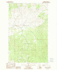
 1984 Oroville1984 Print · USGSThe Okanogan highlands at the Canadian border reveal a landscape of deep river valleys and historic mining claims in the early 1980s. Genealogists and researchers can trace old settlements like Nighthawk and Loomis or locate the American Girl Mine.
 - 1988 Map of Havillah
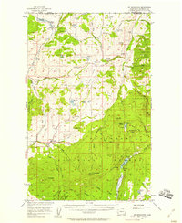
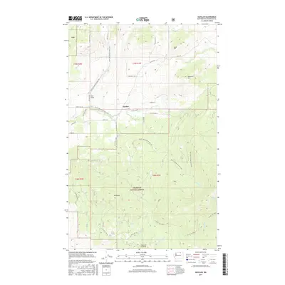
 1988 Havillah1988 Print · USGSIn the highlands of Washington during the late eighties, this survey captures the rural community of Havillah surrounded by National Forest peaks. Genealogists and local historians can trace family sites near the local Cem or follow the waters of Eden Valley and Antoine Creek.
 - 2001 Map of Havillah, 2004 Print
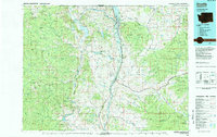
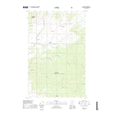
 2001 Havillah2004 Print · USGSThe Okanogan highlands at the start of the 21st century reveal a landscape of high-altitude cabins and remote forest trails. Genealogists can locate the Cem near Havillah or trace mountain landmarks like Mount Bonaparte and the Napoli Cabin.
 - 2011 Map of Havillah, 2011 Print
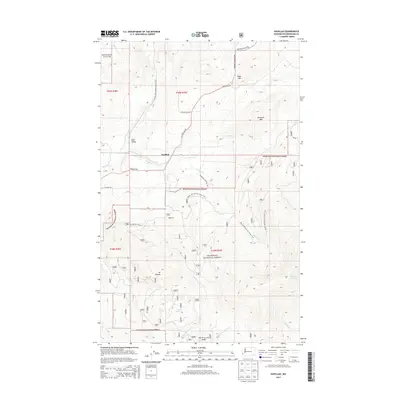
 2011 Havillah2011 Print · USGSCovers Havillah, including Okanogan County, United States, and other nearby areas
 - 2014 Map of Havillah, 2014 Print
 2014 Havillah2014 Print · USGSCovers Havillah, including Okanogan County, United States, and other nearby areas
 - 2017 Map of Havillah, 2017 Print
 2017 Havillah2017 Print · USGSCovers Havillah, including Okanogan County, United States, and other nearby areas
 - 2020 Map of Havillah, 2020 Print
 2020 Havillah2020 Print · USGSCovers Havillah, including Okanogan County, United States, and other nearby areas
 - 2023 Map of Havillah, 2023 Print
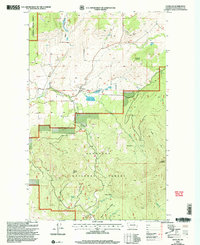
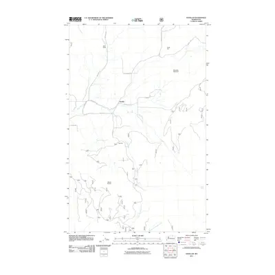
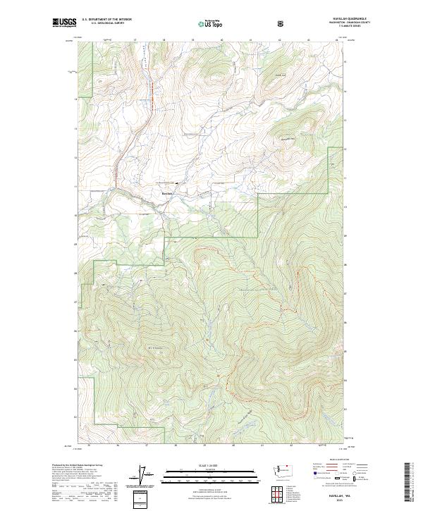 2023 Havillah2023 Print · USGSOkanogan County near the Canadian border remains a landscape of high-elevation valleys and remote forest peaks. Genealogists and historians can locate the Immanuel Lutheran Cem near Havillah or trace water sources like Lightning Spring and Division Spring in the Okanogan National Forest.
End of results
Showing maps 1-13 of 13
Top cities near Havillah
Frequently asked questions
- What are the different types of historical maps available for Havillah?
- What is the oldest map of Havillah?
- Where can I purchase historical maps of Havillah for my home or office?
- Where can I download high-res historical maps of Havillah?
- Are there historical topographic maps available for Havillah?
- Is there historical aerial imagery available for Havillah?
- Where are historical maps of Havillah sourced from?