Old Maps of Janis, Washington for Genealogy
Trace your family roots with 12 historic maps of Janis. These high-res maps reveal old neighborhoods, homesites, landmarks, and streets — helping you uncover where your ancestors lived and how the area evolved over time.
- Explore historic neighborhoods: Identify where your relatives may have lived in the 1800s or 1900s.
- Compare maps over time: Trace the changes in streets, buildings, and landmarks for multi-generational research.
- Perfect for genealogy & ancestry research: Used by family historians and researchers to map out lineage and migration.
These maps are an incredible resource for exploring your personal connection to Janis's past.
Janis, WA maps
(12)- 1902 Map of Osoyoos
 1902 Osoyoos1902 Print · USGSOkanogan County at the dawn of the twentieth century was a landscape of high-country mines and riverfront settlements along the Canadian border. Genealogists and historians can trace early mining operations at Okanogan Free Gold Mine or locate early towns like Molson, Chesaw, and Oroville.
 - 1904 Map of Osoyoos
 1904 Osoyoos1904 Print · USGSOkanogan County near the Canadian border is shown here during a period of mining expansion and early ranching. You can trace the proximity of the Okanogan Free Gold Mine to Oroville or locate early settlements like Molson, Chesaw, and Huntley Ranch.3 unique versions available
 - 1954 Map of Okanogan, 1964 Print
 1954 Okanogan1964 Print · USGSNorth Central Washington’s interior comes into focus during the mid-fifties, showing the rise of the Columbia River reservoir system. Genealogists and historians can trace the Great Northern rail line and locate historical mining operations at the Mountain Lion Mine or Gold Hill Mine.2 unique versions available
 - 1957 Map of Tonasket, 1958 Print
 1957 Tonasket1958 Print · USGSThe Okanogan River valley in the late fifties was a vital corridor of rail and river industry. Genealogists and historians can trace the foundations of local life through the Great Northern rail stops, the Chewiliken Sch, and ancient Petroglyphs near Anglin.2 unique versions available
 - 1958 Map of Okanogan
 1958 Okanogan1958 Print · USGSThe Okanogan River valley and the Colville Indian Reservation are shown here in the late fifties, during a period of established river and rail commerce. Researchers can trace the Great Northern line through Oroville or locate landmarks like the Knowlton School and Orient Ranger Station.
 - 1981 Map of Tonasket
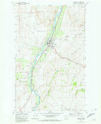 1981 Tonasket1981 Print · USGSThe Okanogan River valley in the early eighties shows a landscape of river-bottom towns and high-desert peaks. Researchers can locate the Tonasket community center, the Janis Bridge, and family-named landmarks like Duffys Mountain.
 - 1984 Map of Oroville
 1984 Oroville1984 Print · USGSThe Okanogan highlands at the Canadian border reveal a landscape of deep river valleys and historic mining claims in the early 1980s. Genealogists and researchers can trace old settlements like Nighthawk and Loomis or locate the American Girl Mine.
 - 2011 Map of Tonasket, 2011 Print
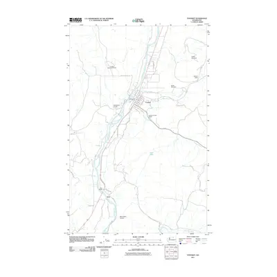 2011 Tonasket2011 Print · USGSTonasket and the Okanogan River valley are captured in detail during the early twenty-first century, showing the town's growth and its surrounding rural infrastructure. Researchers can locate specific properties along Clarkson Mill Rd, trace the crossing at Janis Bridge, or explore the geography of Antoine Valley.
 - 2014 Map of Tonasket, 2014 Print
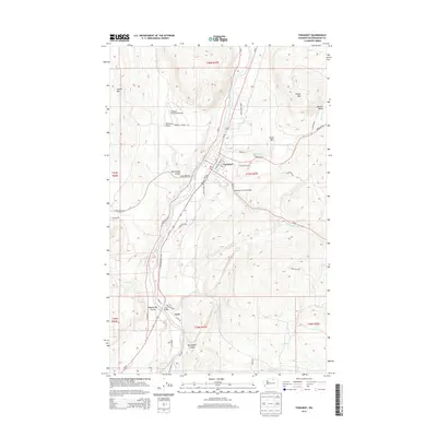 2014 Tonasket2014 Print · USGSThe Okanogan River valley in northern Washington comes into focus during the early twenty-first century, centered on the community of Tonasket. Researchers can trace the local transport network and terrain from McLoughlin Canyon to landmarks like the Bonaparte Creek Bridge and Janis Rapids.
 - 2017 Map of Tonasket, 2017 Print
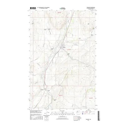 2017 Tonasket2017 Print · USGSTonasket and the Okanogan River valley are captured here in the late twenty-teens, showing a landscape shaped by river transport and aviation. Researchers can trace the layout of Tonasket, find the small riverside settlement of Janis, and locate landmarks like the Bonaparte Creek Bridge.
 - 2020 Map of Tonasket, 2020 Print
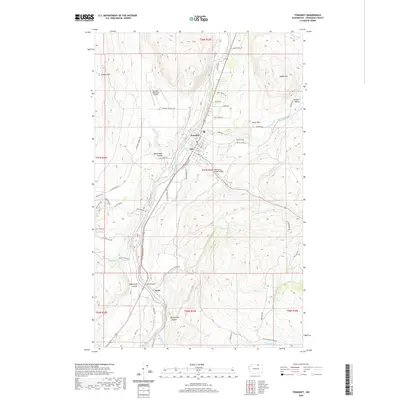 2020 Tonasket2020 Print · USGSThe Okanogan River valley in north-central Washington remains a vital corridor for settlement and transit in this 2020 record. Researchers can trace local landmarks and infrastructure from the streets of Tonasket to the Janis Bridge and the remote reaches of McLoughlin Canyon.
 - 2023 Map of Tonasket, 2023 Print
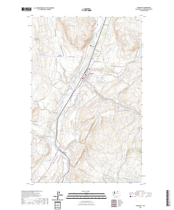 2023 Tonasket2023 Print · USGSThe Okanogan River valley comes into sharp focus in this recent study of the northern Washington interior. Researchers can trace the development of Tonasket and the outlying settlement of Janis, alongside landmarks like Whitestone Mtn and the Tonasket Cem.
End of results
Showing maps 1-12 of 12
Top cities near Janis
Frequently asked questions
- What are the different types of historical maps available for Janis?
- What is the oldest map of Janis?
- Where can I purchase historical maps of Janis for my home or office?
- Where can I download high-res historical maps of Janis?
- Are there historical topographic maps available for Janis?
- Is there historical aerial imagery available for Janis?
- Where are historical maps of Janis sourced from?