Old Maps of Old Wauconda, Washington for Genealogy
Trace your family roots with 13 historic maps of Old Wauconda. These high-res maps reveal old neighborhoods, homesites, landmarks, and streets — helping you uncover where your ancestors lived and how the area evolved over time.
- Explore historic neighborhoods: Identify where your relatives may have lived in the 1800s or 1900s.
- Compare maps over time: Trace the changes in streets, buildings, and landmarks for multi-generational research.
- Perfect for genealogy & ancestry research: Used by family historians and researchers to map out lineage and migration.
These maps are an incredible resource for exploring your personal connection to Old Wauconda's past.
Old Wauconda, WA maps
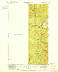
(13)- 1904 Map of Republic
 1904 Republic1904 Print · USGSFerry County was at the height of its gold boom in the early nineteen-hundreds, anchored by the rapid growth of Republic. Genealogists and historians can trace the early rail stops and mine sites of the era, from the Lone Star Mine to the depot at Seward Station.4 unique versions available
 - 1951 Map of Wauconda
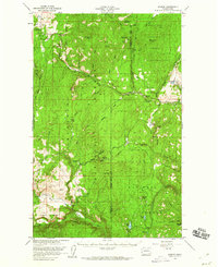
 1951 Wauconda1951 Print · USGSOkanogan and Ferry counties were centers of high-country mining and forestry during the early fifties. Genealogists and historians can locate the Knob Hill Mine, Tom Thumb Mine, and the Lookout at Sheep Mtn alongside the remote Sheridan Road.2 unique versions available
 - 1954 Map of Okanogan, 1964 Print
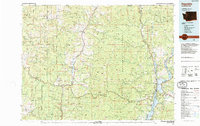
 1954 Okanogan1964 Print · USGSNorth Central Washington’s interior comes into focus during the mid-fifties, showing the rise of the Columbia River reservoir system. Genealogists and historians can trace the Great Northern rail line and locate historical mining operations at the Mountain Lion Mine or Gold Hill Mine.2 unique versions available
 - 1958 Map of Okanogan
 1958 Okanogan1958 Print · USGSThe Okanogan River valley and the Colville Indian Reservation are shown here in the late fifties, during a period of established river and rail commerce. Researchers can trace the Great Northern line through Oroville or locate landmarks like the Knowlton School and Orient Ranger Station.
 - 1958 Map of Aeneas, 1960 Print
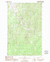
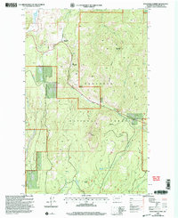
 1958 Aeneas1960 Print · USGSNortheast Washington’s high-altitude timber and mining country is captured here during the late fifties. Genealogists and researchers can locate old mining operations like Knob Hill Mine and trace early routes through Old Wauconda or across Wauconda Summit.3 unique versions available
 - 1984 Map of Republic
 1984 Republic1984 Print · USGSThe Okanogan Highlands and Kettle River Range are shown in the mid-1980s, documenting a landscape shaped by mining and timber. Genealogists can trace old settlements like Bodie and Toroda, or locate historic workings such as the Knob Hill Mine and First Thought Mine.
 - 1988 Map of Wauconda Summit
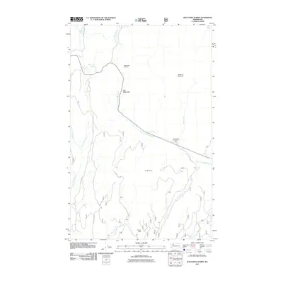
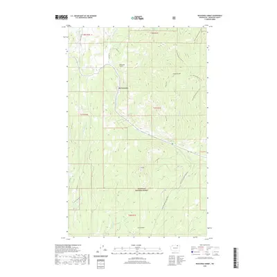
 1988 Wauconda Summit1988 Print · USGSThe northern Washington highlands come into focus in the late eighties, showing the transition between resource work and forest recreation. Researchers can trace the original location of Old Wauconda and explore the high drainages around Clackamas Mtn and Turner Lake.
 - 2001 Map of Wauconda Summit, 2004 Print
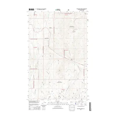
 2001 Wauconda Summit2004 Print · USGSOkanogan County’s high forest country is documented here at the start of the millennium, showing the region's complex drainages and timberlands. Researchers can locate the site of Old Wauconda and trace old logging and recreation routes like the Clackamas Trail or Granite Creek Trail.2 unique versions available
 - 2011 Map of Wauconda Summit, 2011 Print
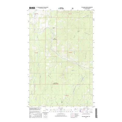
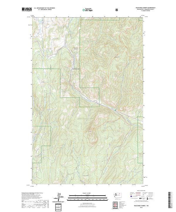
 2011 Wauconda Summit2011 Print · USGSCovers Old Wauconda, including Okanogan County, United States, and other nearby areas
 - 2014 Map of Wauconda Summit, 2014 Print
 2014 Wauconda Summit2014 Print · USGSCovers Old Wauconda, including Okanogan County, United States, and other nearby areas
 - 2017 Map of Wauconda Summit, 2017 Print
 2017 Wauconda Summit2017 Print · USGSCovers Old Wauconda, including Okanogan County, United States, and other nearby areas
 - 2020 Map of Wauconda Summit, 2020 Print
 2020 Wauconda Summit2020 Print · USGSCovers Old Wauconda, including Okanogan County, United States, and other nearby areas
 - 2023 Map of Wauconda Summit, 2023 Print
 2023 Wauconda Summit2023 Print · USGSThe Okanogan highlands are captured here in recent detail, focusing on the high-elevation passes and timberlands. Researchers can trace the historic route of Old Stage Rd near Old Wauconda or follow the Pacific Northwest National Scenic Trl across Clackamas Mtn.
End of results
Showing maps 1-13 of 13
Top cities near Old Wauconda
Frequently asked questions
- What are the different types of historical maps available for Old Wauconda?
- What is the oldest map of Old Wauconda?
- Where can I purchase historical maps of Old Wauconda for my home or office?
- Where can I download high-res historical maps of Old Wauconda?
- Are there historical topographic maps available for Old Wauconda?
- Is there historical aerial imagery available for Old Wauconda?
- Where are historical maps of Old Wauconda sourced from?