2000s (21st Century) Maps of Raymond, Washington
Explore 10 historic maps of Raymond from the 2000s (21st Century). These maps offer a rare glimpse into what life looked like during the 2000s — showing old roads, neighborhoods, homes, and landmarks that have changed or disappeared over time.
Whether you're researching your family's past, planning a metal detecting trip, or studying how Raymond's landscape evolved across the 2000s, these high-resolution maps are a powerful tool for exploring the history of this region.
- Focus on a specific era: All maps on this page are from the 2000s, giving you a focused view of this time period.
- See what’s changed: Compare century-old streets, trails, and buildings to today's modern landscape using overlays and satellite layers.
- Research with precision: Use these maps for genealogy, historical research, land use analysis, or educational projects.
- View, download, or print: Maps are fully viewable online in high resolution, and can be downloaded or printed for your own records.
Start exploring Raymond's history through authentic maps from the 2000s. This is your window into the past.
Raymond, WA maps
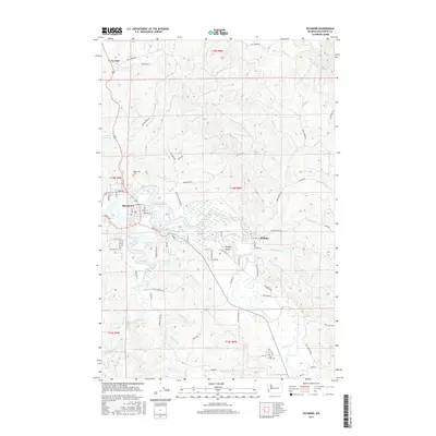
(10)- 2011 Map of Raymond, 2011 Print
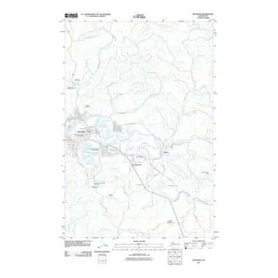 2011 Raymond2011 Print · USGSCovers Raymond, including East Raymond, Willapa, and other nearby areas
 - 2011 Map of South Bend, 2011 Print
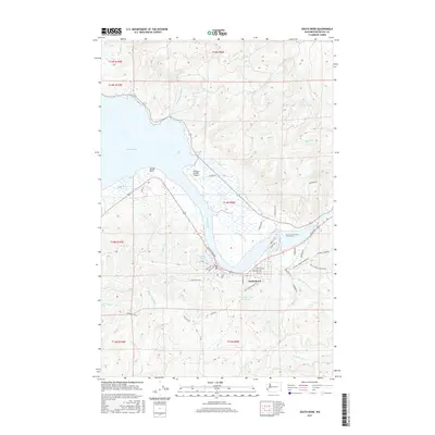
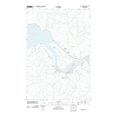 2011 South Bend2011 Print · USGSCovers Raymond, including South Bend, Pacific County, and other nearby areas
 - 2014 Map of Raymond, 2014 Print
 2014 Raymond2014 Print · USGSCovers Raymond, including East Raymond, Willapa, and other nearby areas
 - 2014 Map of South Bend, 2014 Print
 2014 South Bend2014 Print · USGSCovers Raymond, including South Bend, Pacific County, and other nearby areas
 - 2017 Map of Raymond, 2017 Print
 2017 Raymond2017 Print · USGSCovers Raymond, including East Raymond, Willapa, and other nearby areas
 - 2017 Map of South Bend, 2017 Print
 2017 South Bend2017 Print · USGSCovers Raymond, including South Bend, Pacific County, and other nearby areas
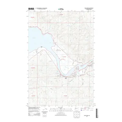
 - 2020 Map of South Bend, 2020 Print
 2020 South Bend2020 Print · USGSCovers Raymond, including South Bend, Pacific County, and other nearby areas
 - 2020 Map of Raymond, 2020 Print
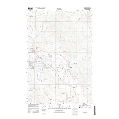
 2020 Raymond2020 Print · USGSCovers Raymond, including East Raymond, Willapa, and other nearby areas
 - 2023 Map of Raymond, 2023 Print
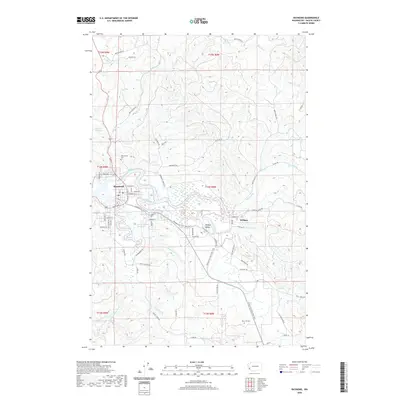
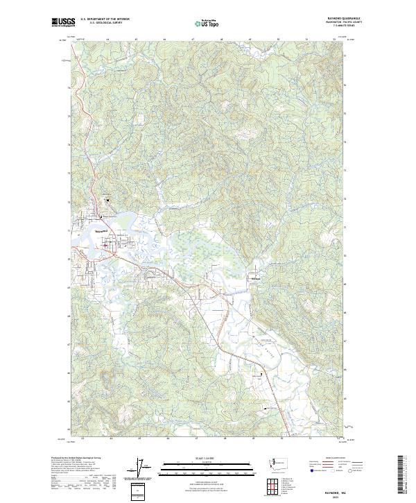 2023 Raymond2023 Print · USGSThe riverfront town of Raymond and the community of Willapa are shown here as they appear today, centered on their historic river junctions. Local historians can trace family burial sites at Fern Hill Cem or follow the path of the Willapa Hills State Park Trl.
 - 2023 Map of South Bend, 2023 Print
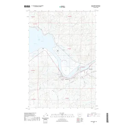
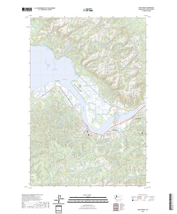 2023 South Bend2023 Print · USGSThe coastal landscapes of Pacific County come alive in this recent survey of the lower Willapa River and its tidal sloughs. Trace the streets of South Bend and Raymond, locating landmarks like the Pacific County Courthouse and the Odd Fellows Cem.
End of results
Showing maps 1-10 of 10
Top cities near Raymond
Top neighborhoods of Raymond
Frequently asked questions
- What are the different types of historical maps available for Raymond?
- What is the oldest map of Raymond?
- Where can I purchase historical maps of Raymond for my home or office?
- Where can I download high-res historical maps of Raymond?
- Are there historical topographic maps available for Raymond?
- Is there historical aerial imagery available for Raymond?
- Where are historical maps of Raymond sourced from?