Old Maps of Ruby, Washington for Genealogy
Trace your family roots with 12 historic maps of Ruby. These high-res maps reveal old neighborhoods, homesites, landmarks, and streets — helping you uncover where your ancestors lived and how the area evolved over time.
- Explore historic neighborhoods: Identify where your relatives may have lived in the 1800s or 1900s.
- Compare maps over time: Trace the changes in streets, buildings, and landmarks for multi-generational research.
- Perfect for genealogy & ancestry research: Used by family historians and researchers to map out lineage and migration.
These maps are an incredible resource for exploring your personal connection to Ruby's past.
Ruby, WA maps
(12)- 1934 Map of Metaline, 1959 Print
 1934 Metaline1959 Print · USGSThe Pend Oreille River valley was a hub of mining and rail activity in the 1930s as the railroad pushed north toward the Canadian border. Genealogists and historians can trace the foundations of Metaline Falls and Tiger or locate the Bunker Hill Mine and Lincoln Sch.
 - 1942 Map of Metaline
 1942 Metaline1942 Print · USGSThe Pend Oreille River valley and the surrounding Selkirk Mountains are shown here in the early 1940s, during a period of intense mining and timber activity. Genealogists and historians can trace rail-side settlements like Ione and Tiger or locate mining sites such as Josephine Mine and Bunker Hill Mines.3 unique versions available
 - 1958 Map of Sandpoint, 1966 Print
 1958 Sandpoint1966 Print · USGSThe Idaho Panhandle and Northeast Washington are shown here in the late fifties, when timber and hydroelectric power drove the local economy. Trace family roots in rail-side towns like Cusick or Metaline Falls, and locate landmarks like the Albeni Falls Dam or Falls Ranger Station.2 unique versions available
 - 1963 Map of Sandpoint
 1963 Sandpoint1963 Print · USGSNorthern Idaho and eastern Washington are shown in the early sixties as a high-country network of timber, mining, and rail. Genealogists and historians can trace the Great Northern line through Metaline Falls, Bonners Ferry, and past the Finch Mine.
 - 1967 Map of Ruby, 1971 Print
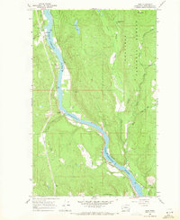 1967 Ruby1971 Print · USGSThe Pend Oreille River valley in the late sixties reveals a landscape of railroad towns and mining history within the Colville National Forest. Researchers can locate the vanished Diamond City (Site), trace the Milwaukee Road rail line, and find old river crossings like the FERRY at Ruby.2 unique versions available
 - 1984 Map of Colville
 1984 Colville1984 Print · USGSNortheastern Washington and the Idaho borderlands are documented here in the mid-1980s as the regional economy balanced forestry and mineral extraction. Genealogists and researchers can trace dozens of mountain mining operations like Van Stone Mine alongside timber settlements such as Metaline Falls and Aladdin.2 unique versions available
 - 1992 Map of Ruby, 1996 Print
 1992 Ruby1996 Print · USGSPend Oreille County's river-fed valley and high mountain meadows are documented here in the early nineties. Researchers can trace the Diamond City (Site), follow Ruby Ferry Road, and locate family-named spots like Henry Brown Meadow.
 - 2011 Map of Ruby, 2011 Print
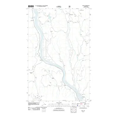 2011 Ruby2011 Print · USGSThe Pend Oreille River valley and the surrounding high country are captured here in the early twenty-first century. Researchers can trace forest development and settlement history through landmarks like Diamond City, Yokum Lake Lookout, and Squirrel Meadow.
 - 2014 Map of Ruby, 2014 Print
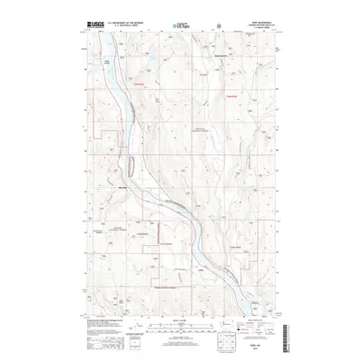 2014 Ruby2014 Print · USGSThe Pend Oreille River valley in northeastern Washington remains a wild corridor of national forests and riverside settlements in the early twenty-first century. Genealogists and hikers can trace old mountain roads and landmarks like Diamond City, Yokum Lake Lookout, and the Panhandle Campground.
 - 2017 Map of Ruby, 2017 Print
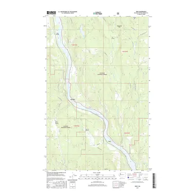 2017 Ruby2017 Print · USGSThe Pend Oreille River valley is captured here in the late 2010s, showing a landscape shaped by forest management and river-based settlement. Researchers can trace the development of riverside communities like Blueslide and Ruby or locate remote landmarks including Diamond City and Yocum Lake.
 - 2020 Map of Ruby, 2020 Print
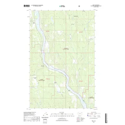 2020 Ruby2020 Print · USGSPend Oreille County's river valley and surrounding timberlands are documented here in the early twenty-first century. Genealogists and local historians can trace the locations of Ruby, Blueslide, and Diamond City, along with landmarks like Henry Brown Meadow.
 - 2023 Map of Ruby, 2023 Print
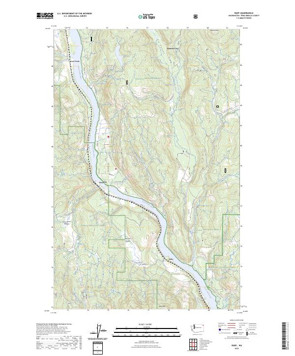 2023 Ruby2023 Print · USGSPend Oreille County is shown here in the 2020s, dominated by the winding river valley and the deep forests of the Colville and Kaniksu lands. Researchers can locate the exact positions of riverside Ruby and Blueslide, or trace the timber routes near Yocum Lake.
End of results
Showing maps 1-12 of 12
Top cities near Ruby
Frequently asked questions
- What are the different types of historical maps available for Ruby?
- What is the oldest map of Ruby?
- Where can I purchase historical maps of Ruby for my home or office?
- Where can I download high-res historical maps of Ruby?
- Are there historical topographic maps available for Ruby?
- Is there historical aerial imagery available for Ruby?
- Where are historical maps of Ruby sourced from?