2020s Maps of Darrington, Washington
Explore 4 historic maps of Darrington from the 2020s. These maps offer a rare glimpse into what life looked like during the 2020s — showing old roads, neighborhoods, homes, and landmarks that have changed or disappeared over time.
Whether you're researching your family's past, planning a metal detecting trip, or studying how Darrington's landscape evolved across the 2020s, these high-resolution maps are a powerful tool for exploring the history of this region.
- Focus on a specific era: All maps on this page are from the 2020s, giving you a focused view of this time period.
- See what’s changed: Compare century-old streets, trails, and buildings to today's modern landscape using overlays and satellite layers.
- Research with precision: Use these maps for genealogy, historical research, land use analysis, or educational projects.
- View, download, or print: Maps are fully viewable online in high resolution, and can be downloaded or printed for your own records.
Start exploring Darrington's history through authentic maps from the 2020s. This is your window into the past.
Darrington, WA maps
(4)- 2020 Map of Helena Ridge, 2020 Print
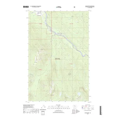 2020 Helena Ridge2020 Print · USGSCovers Darrington, including Snohomish County, United States, and other nearby areas
 - 2020 Map of Darrington, 2020 Print
 2020 Darrington2020 Print · USGSCovers Darrington, including Mansford, Snohomish County, and other nearby areas
 - 2023 Map of Helena Ridge, 2023 Print
 2023 Helena Ridge2023 Print · USGSDarrington marks the gateway to the North Cascades in this modern survey, where the valley floor meets the heights of the wilderness. Trace the winding Mountain Loop Hwy along the Sauk River and locate remote landmarks like Asbestos Falls and Jumbo Mtn.
 - 2023 Map of Darrington, 2023 Print
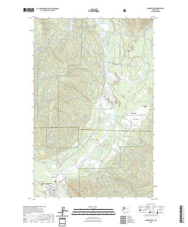 2023 Darrington2023 Print · USGSDarrington and the Sauk River valley appear in high detail during the early 2020s, showing a landscape defined by mountain peaks and river junctions. Researchers can locate the Indian Cem, trace the roads around Sauk Prairie, and explore the layout of Darrington.
End of results
Showing maps 1-4 of 4
Top cities near Darrington
Frequently asked questions
- What are the different types of historical maps available for Darrington?
- What is the oldest map of Darrington?
- Where can I purchase historical maps of Darrington for my home or office?
- Where can I download high-res historical maps of Darrington?
- Are there historical topographic maps available for Darrington?
- Is there historical aerial imagery available for Darrington?
- Where are historical maps of Darrington sourced from?