Old Maps of Darrington, Washington for Genealogy
Trace your family roots with 18 historic maps of Darrington. These high-res maps reveal old neighborhoods, homesites, landmarks, and streets — helping you uncover where your ancestors lived and how the area evolved over time.
- Explore historic neighborhoods: Identify where your relatives may have lived in the 1800s or 1900s.
- Compare maps over time: Trace the changes in streets, buildings, and landmarks for multi-generational research.
- Perfect for genealogy & ancestry research: Used by family historians and researchers to map out lineage and migration.
These maps are an incredible resource for exploring your personal connection to Darrington's past.
Darrington, WA maps
(18)- 1899 Map of Stillaguamish, 1955 Print
 1899 Stillaguamish1955 Print · USGSThe North Cascades foothills at the turn of the century are defined by the rapid expansion of rail lines and mining camps. Trace the early routes of the Everett & Monte Cristo Ry and locate early settlements like Silverton, Darrington, and Granite Falls.
 - 1901 Map of Stilaguamish
 1901 Stilaguamish1901 Print · USGSThe North Cascades at the close of the nineteenth century reveal a landscape of mining camps and pioneer river settlements. Genealogists and historians can trace early families in Silverton, Darrington, and the remote Mansford Prairie.6 unique versions available
 - 1955 Map of Concrete, 1967 Print
 1955 Concrete1967 Print · USGSThe North Cascades in the mid-fifties reveal a landscape of deep glacier-fed lakes and riverside timber towns. You can trace the Great Northern rail lines through Granite Falls or locate remote outposts like Stehekin and Marblemount along the Skagit and Chelan waters.
 - 1957 Map of Silverton, 1959 Print
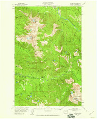 1957 Silverton1959 Print · USGSMountaineering and mining intersect in this mid-century look at the North Cascades wilderness between Darrington and Silverton. Genealogists and historians can locate early recreational landmarks like Camp Silverton-Waldheim and the Bonanza Queen Mine.3 unique versions available
 - 1958 Map of Concrete
 1958 Concrete1958 Print · USGSThe North Cascades and Skagit Valley are captured here in the late fifties, showing a landscape defined by glacier-carved peaks and river-bottom settlements. Genealogists and historians can locate remote mining sites like Holden Mine and mountain outposts such as Stehekin, Marblemount, and Mazama.2 unique versions available
 - 1962 Map of Concrete
 1962 Concrete1962 Print · USGSThe Northern Cascades in the early sixties reveal a landscape of high alpine peaks and deep river valleys before the modern park era. Genealogists and historians can trace rail-and-river towns like Concrete, Darrington, and Stehekin, alongside industry at the Holden Mine.
 - 1966 Map of Darrington, 1968 Print
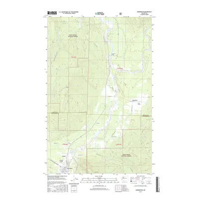
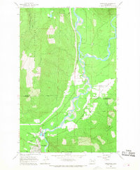 1966 Darrington1968 Print · USGSThe Sauk and Suiattle river valleys appear in the mid-sixties as vital hubs for the timber and rail industries. Researchers can trace the Northern Pacific rail line to its terminus at Darrington or locate the Indian Cem and Three Rivers Mill Pond.4 unique versions available
 - 1989 Map of Helena Ridge
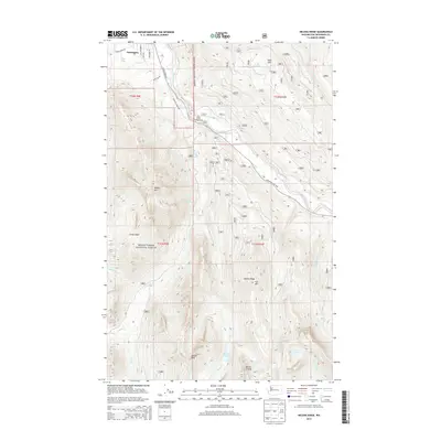
 1989 Helena Ridge1989 Print · USGSDarrington sits at the edge of the Mt Baker National Forest in the late 1980s, where the river and mountain landscape define the region. Trace early forest access and mineral sites like Asbestos Cr or high alpine landmarks including Helena Ridge and Jumbo Mountain.
 - 2011 Map of Helena Ridge, 2011 Print
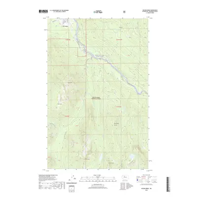
 2011 Helena Ridge2011 Print · USGSCovers Darrington, including Snohomish County, United States, and other nearby areas
 - 2011 Map of Darrington, 2011 Print
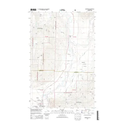
 2011 Darrington2011 Print · USGSCovers Darrington, including Mansford, Snohomish County, and other nearby areas
 - 2014 Map of Helena Ridge, 2014 Print
 2014 Helena Ridge2014 Print · USGSCovers Darrington, including Snohomish County, United States, and other nearby areas
 - 2014 Map of Darrington, 2014 Print
 2014 Darrington2014 Print · USGSCovers Darrington, including Mansford, Snohomish County, and other nearby areas
 - 2017 Map of Darrington, 2017 Print
 2017 Darrington2017 Print · USGSCovers Darrington, including Mansford, Snohomish County, and other nearby areas
 - 2017 Map of Helena Ridge, 2017 Print
 2017 Helena Ridge2017 Print · USGSCovers Darrington, including Snohomish County, United States, and other nearby areas
 - 2020 Map of Helena Ridge, 2020 Print
 2020 Helena Ridge2020 Print · USGSCovers Darrington, including Snohomish County, United States, and other nearby areas
 - 2020 Map of Darrington, 2020 Print
 2020 Darrington2020 Print · USGSCovers Darrington, including Mansford, Snohomish County, and other nearby areas
 - 2023 Map of Helena Ridge, 2023 Print
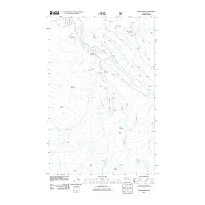
 2023 Helena Ridge2023 Print · USGSDarrington marks the gateway to the North Cascades in this modern survey, where the valley floor meets the heights of the wilderness. Trace the winding Mountain Loop Hwy along the Sauk River and locate remote landmarks like Asbestos Falls and Jumbo Mtn.
 - 2023 Map of Darrington, 2023 Print
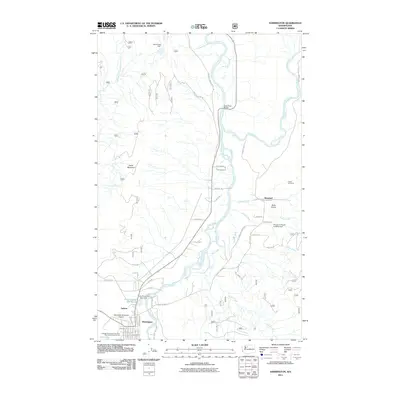
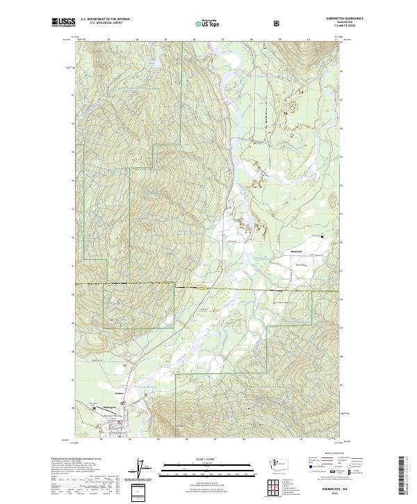 2023 Darrington2023 Print · USGSDarrington and the Sauk River valley appear in high detail during the early 2020s, showing a landscape defined by mountain peaks and river junctions. Researchers can locate the Indian Cem, trace the roads around Sauk Prairie, and explore the layout of Darrington.
End of results
Showing maps 1-18 of 18
Top cities near Darrington
Frequently asked questions
- What are the different types of historical maps available for Darrington?
- What is the oldest map of Darrington?
- Where can I purchase historical maps of Darrington for my home or office?
- Where can I download high-res historical maps of Darrington?
- Are there historical topographic maps available for Darrington?
- Is there historical aerial imagery available for Darrington?
- Where are historical maps of Darrington sourced from?