Old Maps of Reiter, Washington for Academic Research
Study the evolution of Reiter with 11 high-resolution historic maps. Whether you're teaching, researching, or modeling changes in land use, these maps provide essential visual documentation of urban, environmental, and geographic change.
- Analyze long-term change: Track patterns in development, transportation, and natural features.
- Ideal for environmental or urban studies: Support academic projects with primary historical map data.
- Use in the classroom or lab: Educators and researchers rely on these maps to bring historical context to life.
These maps are a powerful tool for teaching, research, and visualizing how Reiter has changed over the decades.
Reiter, WA maps
(11)- 1921 Map of Sultan
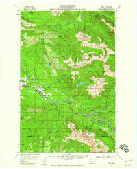
 1921 Sultan1921 Print · USGSThe Snoqualmie and Skykomish river valleys are defined by timber and rail in the 1920s. Researchers can trace early industry through the Apex Mines, Coke Ovens, and rural schools like Mountain View School.4 unique versions available
 - 1923 Map of Sultan
 1923 Sultan1923 Print · USGSThe Skykomish and Snoqualmie river valleys thrive in the early twenties as centers of timber and rail. Genealogists can trace family roots through rural sites like Forest Glade School or follow the Lumber RR lines to the Apex Mines.4 unique versions available
 - 1957 Map of Index, 1959 Print
 1957 Index1959 Print · USGSThe mountain corridors of the North Cascades come alive in the late 1950s as the rail and timber industries thrive. Researchers can trace the path of the Great Northern Railway through mountain towns like Gold Bar and find old extraction sites like the Kromona Mine.3 unique versions available
 - 1957 Map of Wenatchee, 1973 Print
 1957 Wenatchee1973 Print · USGSThe northern Cascades and Columbia River valley appear here in the mid-fifties, showing the region's critical rail and transit corridors. Researchers can trace the routes of the Great Northern RR and Milwaukee Road through settlements like Skykomish, Baring, and Dryden.2 unique versions available
 - 1975 Map of Skykomish River, 1977 Print
 1975 Skykomish River1977 Print · USGSThe Cascades meet the river valleys in the mid-seventies, showing the vital rail corridors and mountain towns along the Skykomish River. Researchers can trace the path of the Pacific Crest National Scenic Trail and locate historic sites like State Reformatory Farm No 2 and the Old Cascade Tunnel.2 unique versions available
 - 1989 Map of Gold Bar
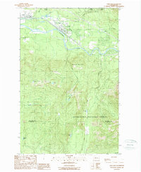 1989 Gold Bar1989 Print · USGSThe Skykomish River valley in the late eighties shows the timber and transport routes that shaped Snohomish County. Trace the paths of an OLD RR GRADE and find local landmarks like the FISH HATCHERY or the high waters of Duffey Lakes.2 unique versions available
 - 2011 Map of Gold Bar, 2011 Print
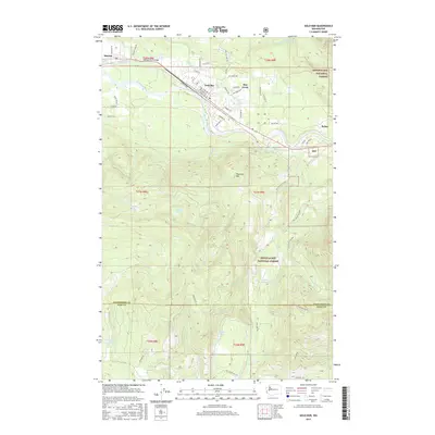
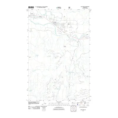 2011 Gold Bar2011 Print · USGSCovers Reiter, including Gold Bar, Startup, and other nearby areas
 - 2014 Map of Gold Bar, 2014 Print
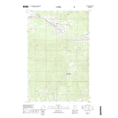
 2014 Gold Bar2014 Print · USGSCovers Reiter, including Gold Bar, Startup, and other nearby areas
 - 2017 Map of Gold Bar, 2017 Print
 2017 Gold Bar2017 Print · USGSCovers Reiter, including Gold Bar, Startup, and other nearby areas
 - 2020 Map of Gold Bar, 2020 Print
 2020 Gold Bar2020 Print · USGSCovers Reiter, including Gold Bar, Startup, and other nearby areas
 - 2023 Map of Gold Bar, 2023 Print
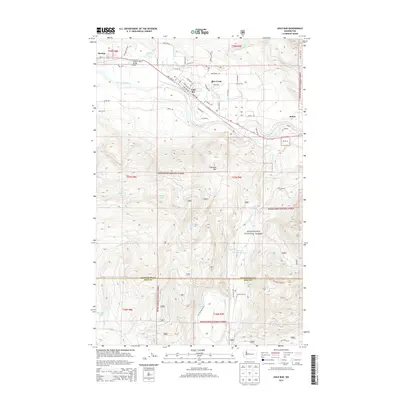
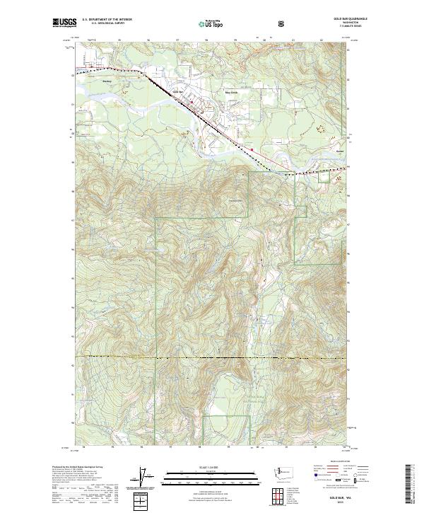 2023 Gold Bar2023 Print · USGSThe Skykomish River valley near the turn of the twenty-first century reveals a landscape where riverside towns meet the deep timber of the Cascades. Genealogists and hikers can trace the streets of Gold Bar and Startup or locate remote alpine water like Airplane Lake and Little Cavanaugh Lake.
End of results
Showing maps 1-11 of 11
Top cities near Reiter
- Everett historical maps
- Woods Creek historical maps
- Sultan historical maps
- Gold Bar historical maps
- Startup historical maps
- May Creek historical maps
See more
Frequently asked questions
- What are the different types of historical maps available for Reiter?
- What is the oldest map of Reiter?
- Where can I purchase historical maps of Reiter for my home or office?
- Where can I download high-res historical maps of Reiter?
- Are there historical topographic maps available for Reiter?
- Is there historical aerial imagery available for Reiter?
- Where are historical maps of Reiter sourced from?