Old Maps of Fairfield, Washington for Hiking & Exploration
Hike through history with 12 historic maps of Fairfield. Explore old trails, ghost towns, and forgotten backroads — perfect for outdoor adventurers and local explorers.
- Rediscover forgotten places: Map out old mining camps, roads, and footpaths that no longer exist on modern maps.
- Layer with modern tools: Combine with LiDAR or satellite views to plan hikes through historical terrain.
- Made for exploration: Popular among hikers, overlanders, and local history lovers.
Use these maps to find adventure and explore the hidden past of Fairfield.
Fairfield, WA maps
(12)- 1903 Map of Oakesdale
 1903 Oakesdale1903 Print · USGSThe Palouse and South Spokane regions are shown here at the height of the early railroad era. Researchers can trace family history through numerous small grain-stop settlements like Waverly, Latah, and Plaza, or locate family-named landmarks such as Steptoe Butte and Stratton Butte.
 - 1905 Map of Oakesdale
 1905 Oakesdale1905 Print · USGSEastern Washington at the dawn of the twentieth century was a landscape of burgeoning rail hubs and fertile Palouse hills. Genealogists and historians can trace the early layouts of Oakesdale, Tekoa, and Rosalia as they grew alongside the Northern Pacific RR.3 unique versions available
 - 1954 Map of Fairfield, 1956 Print
 1954 Fairfield1956 Print · USGSEastern Washington's agricultural heartland is documented here in the mid-fifties, featuring a dense network of rail lines and grain-country settlements. Trace the routes of the Union Pacific and visit sites like Fairfield, Latah, and the McIntosh Grange.3 unique versions available
 - 1955 Map of Spokane, 1965 Print
 1955 Spokane1965 Print · USGSInland Empire life in the fifties and sixties centers on the growth of Spokane and the heavy mining industry of northern Idaho. Trace mid-century landmarks like Fairchild Air Force Base, the Bunker Hill Mine, and early campuses such as Gonzaga University.2 unique versions available
 - 1958 Map of Spokane
 1958 Spokane1958 Print · USGSThe Inland Empire is shown at a mid-century peak of industrial and military activity, from the rail hubs of Spokane to the deep silver mines of northern Idaho. Researchers can trace the sprawling rail lines of the Union Pacific RR or locate landmarks like Fairchild Air Force Base and the Bunker Hill Smelter & Mine.
 - 1980 Map of Fairfield
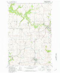 1980 Fairfield1980 Print · USGSThe rolling Palouse landscape of Spokane County is captured here in the late twentieth century as a thriving agricultural corridor. Genealogists can trace family names through the Fairview Cemetery, Mt Hope Church, and the silos of West Fairfield.
 - 1984 Map of Rosalia
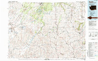 1984 Rosalia1984 Print · USGSThe Palouse region of Eastern Washington and the Idaho borderlands are shown here in the mid-1980s, a landscape of rolling wheat fields and vital rail corridors. Genealogists and historians can trace the early layout of Cheney, the rail junctions at Rosalia, and the distinct topography of Steptoe Butte.
 - 2011 Map of Fairfield, 2011 Print
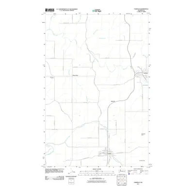 2011 Fairfield2011 Print · USGSSpokane County's agricultural heartland is documented here in the early twenty-first century, showing the established communities and rural townships. Researchers can locate family landmarks such as Mount Hope Cemetery or trace the paths of Hangman Creek and Morefield Butte.
 - 2014 Map of Fairfield, 2014 Print
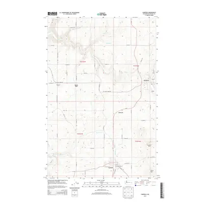 2014 Fairfield2014 Print · USGSFairfield and Rockford are shown at the turn of the decade amidst a network of Spokane County creek valleys and buttes. Researchers can trace family history at Mt Hope Cem or Fairview Cem and follow the courses of Rattler Run Cr and Hangman Creek.
 - 2017 Map of Fairfield, 2017 Print
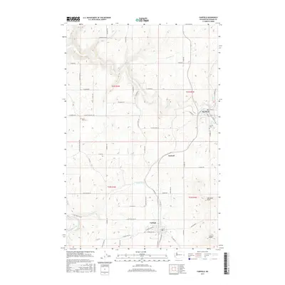 2017 Fairfield2017 Print · USGSThe rural expanses of Spokane County are documented here during the late 2010s, centered on the farming hubs of Fairfield and Rockford. Researchers can trace family ties at Mount Hope Cem or map the waterways near Morefield Butte and Hangman Creek.
 - 2020 Map of Fairfield, 2020 Print
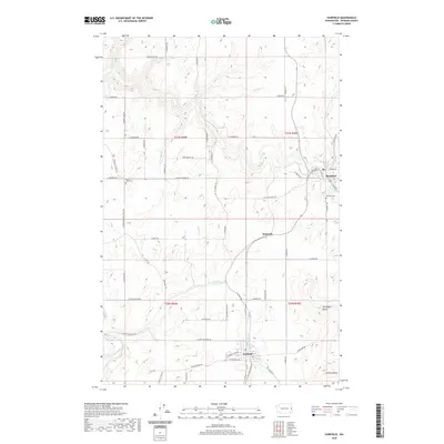 2020 Fairfield2020 Print · USGSSoutheastern Spokane County is documented here in the early twenty-first century, showing the enduring agricultural layout of the Palouse. Researchers can trace family sites near Fairfield, Rockford, and the Mount Hope Cem or follow the paths of Rock Cr and Hangman Creek.
 - 2023 Map of Fairfield, 2023 Print
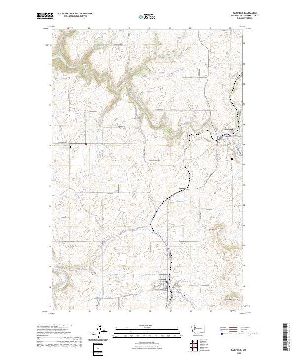 2023 Fairfield2023 Print · USGSSpokane County's agricultural heartland is documented here in the early 2020s, centered on the communities of Fairfield and Rockford. Researchers can trace local landmarks like Mount Hope Cem and Morefield Butte alongside the winding course of Rock Creek.
End of results
Showing maps 1-12 of 12
Top cities near Fairfield
- Spokane historical maps
- Spokane Valley historical maps
- Tekoa historical maps
- Rosalia historical maps
- Rockford historical maps
- Spangle historical maps
See more
Frequently asked questions
- What are the different types of historical maps available for Fairfield?
- What is the oldest map of Fairfield?
- Where can I purchase historical maps of Fairfield for my home or office?
- Where can I download high-res historical maps of Fairfield?
- Are there historical topographic maps available for Fairfield?
- Is there historical aerial imagery available for Fairfield?
- Where are historical maps of Fairfield sourced from?