Old Maps of Vail, Washington for Hiking & Exploration
Hike through history with 16 historic maps of Vail. Explore old trails, ghost towns, and forgotten backroads — perfect for outdoor adventurers and local explorers.
- Rediscover forgotten places: Map out old mining camps, roads, and footpaths that no longer exist on modern maps.
- Layer with modern tools: Combine with LiDAR or satellite views to plan hikes through historical terrain.
- Made for exploration: Popular among hikers, overlanders, and local history lovers.
Use these maps to find adventure and explore the hidden past of Vail.
Vail, WA maps
(16)- 1916 Map of Chehalis
 1916 Chehalis1916 Print · USGSDuring a period of rapid development along the Chehalis and Skookumchuck Rivers, these valleys supported a thriving network of timber camps and rail towns. Genealogists can trace family landmarks like Logan Hill School, the Centralia Seminary, and the Salmon Creek Mill.4 unique versions available
 - 1944 Map of Yelm
 1944 Yelm1944 Print · USGSThe Nisqually River valley and the surrounding prairies are captured here during the 1940s as military and rail infrastructure reshaped the landscape. Researchers can trace the rail corridors of the Northern Pacific, the Centralia Power Plant, and local landmarks like Collins Sch and Vail.2 unique versions available
 - 1949 Map of Yelm, 1958 Print
 1949 Yelm1958 Print · USGSYelm and the surrounding prairies of Thurston and Pierce counties are shown here just after the war. Researchers can trace family ranching sites like Fox Ranch, early schools such as Collins School, and the heavy rail activity at McKenna.
 - 1953 Map of Hoquiam
 1953 Hoquiam1953 Print · USGSSouthwest Washington in the early fifties shows a landscape shaped by timber, rail, and river commerce from the coast to the Cascades. Genealogists and historians can trace the development of timber towns like Ryderwood and the industrial hubs of Hoquiam and Kelso.2 unique versions available
 - 1957 Map of Hoquiam
 1957 Hoquiam1957 Print · USGSCoastal timber ports and inland rail hubs define Southwest Washington during the late fifties. Genealogists can trace early twentieth-century settlements like Bordeaux, Tono, and Cosmopolis alongside the expanding tracks of the Northern Pacific.
 - 1958 Map of Hoquiam, 1969 Print
 1958 Hoquiam1969 Print · USGSSouthwest Washington and the Columbia River estuary appear here in the mid-century, before major landscape shifts. Researchers can trace the rail lines of the Northern Pacific, locate the Fort Henness Site, or explore the Naselle Air Force Station.2 unique versions available
 - 1959 Map of Vail, 1966 Print
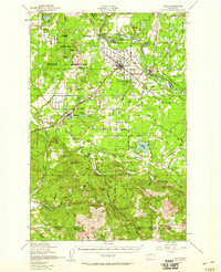
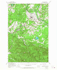
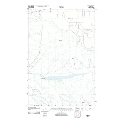
 1959 Vail1966 Print · USGSThurston and Lewis counties come into focus in the late fifties as logging operations shape the terrain. You can trace the complex Logging Railroad and Mulqueen Railroad lines that connect Vail to timber stands at Baumgard Hill.2 unique versions available
 - 1959 Map of Yelm, 1968 Print
 1959 Yelm1968 Print · USGSThurston and Pierce Counties are shown in the late 1950s, a time when rail lines and ranching still dominated the prairies. You can trace the lineage of the region through the Roy Cem, Collins Sch, and early homesteads like Burnham Ranch or the Roundtree Cabin.
 - 1962 Map of Hoquiam
 1962 Hoquiam1962 Print · USGSSouthwest Washington in the late fifties is defined by the bustling timber ports of Hoquiam and the rail-linked commerce of the interior valleys. Genealogists and historians can trace the early footprints of settlements like Raymond and Pe Ell, or locate family sites at Grand Mound Cem and Odd Fellows Cem.
 - 1980 Map of Centralia
 1980 Centralia1980 Print · USGSThe rail and river corridors of southwestern Washington are captured here in the late twentieth century, showing the region's transition from resource extraction to managed forest land. Researchers can trace the industrial footprint of the Stoker Mine, the rails of the Union Pacific, and the early development of Centralia and Chehalis.
 - 1990 Map of Vail, 1995 Print
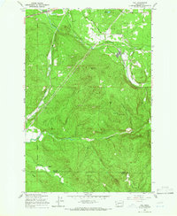
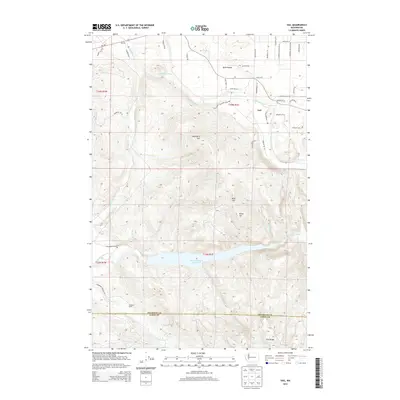
 1990 Vail1995 Print · USGSThe timber and rail corridors of Thurston County come into focus in the 1990s as the Vail Railway winds through Ruth Prairie. Researchers can trace the industrial footprint of Vail through its logging roads and the massive Skookumchuck Reservoir.
 - 2011 Map of Vail, 2011 Print
 2011 Vail2011 Print · USGSCovers Vail, including Thurston County, Lewis County, and other nearby areas
 - 2013 Map of Vail, 2013 Print
 2013 Vail2013 Print · USGSCovers Vail, including Thurston County, Lewis County, and other nearby areas
 - 2017 Map of Vail, 2017 Print
 2017 Vail2017 Print · USGSCovers Vail, including Thurston County, Lewis County, and other nearby areas
 - 2020 Map of Vail, 2020 Print
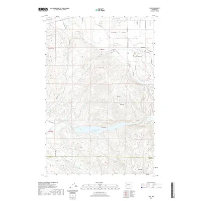 2020 Vail2020 Print · USGSCovers Vail, including Thurston County, Lewis County, and other nearby areas
 - 2023 Map of Vail, 2023 Print
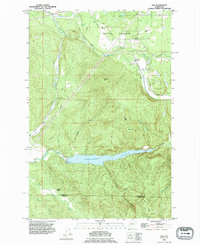
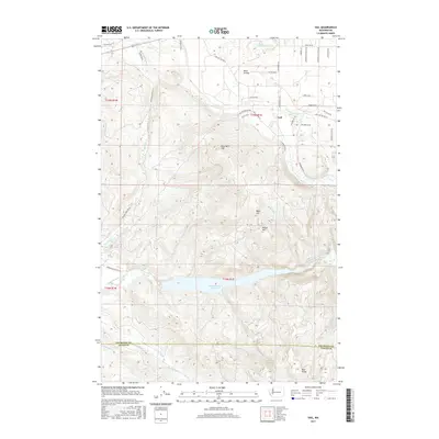
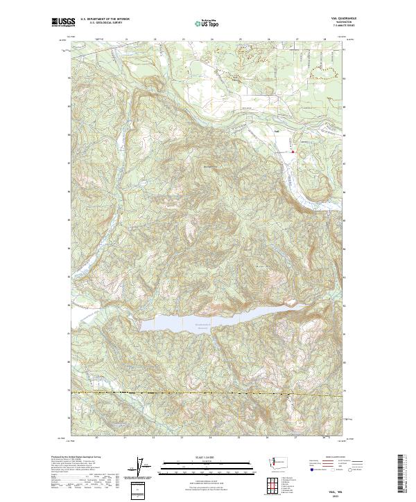 2023 Vail2023 Print · USGSThe community of Vail and the surrounding Thurston County timberlands are captured here in the early twenty-first century. Researchers can trace the drainage of the Deschutes River and the significant footprint of the Skookumchuck Reservoir or find landmarks like Ruth Prairie and Miller Hill.
End of results
Showing maps 1-16 of 16
Top cities near Vail
- Olympia historical maps
- Lacey historical maps
- Spanaway historical maps
- Tumwater historical maps
- Yelm historical maps
- North Yelm historical maps
See more
Frequently asked questions
- What are the different types of historical maps available for Vail?
- What is the oldest map of Vail?
- Where can I purchase historical maps of Vail for my home or office?
- Where can I download high-res historical maps of Vail?
- Are there historical topographic maps available for Vail?
- Is there historical aerial imagery available for Vail?
- Where are historical maps of Vail sourced from?