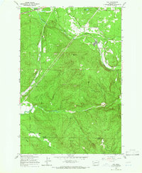
1959 Map of Vail
USGS Topo · Published 1966About this map
Vail serves as the industrial hub for this 1950s interior landscape, where the Deschutes River and Skookumchuck River carve through timber-heavy terrain. The settlement is defined by its extensive rail infrastructure, featuring the Mulqueen Railroad and a complex Logging Railroad network that signals the era's intensive forestry operations. Higher elevations like Baumgard Hill and Miller Hill, the latter topped by a Lookout Tower, watch over the surrounding timber stands and the flat expanse of Ruth Prairie. Tracing the border between Thurston and Lewis counties, the map records the transit of the Northern Pacific and Great Northern lines through the northern corridor. In the more secluded valleys, features like Sundown Ranch and Lake Fifteen offer evidence of rural life and natural basins amidst a landscape largely dedicated to industrial harvesting and transit.
Find a feature on this map
30 named features on this map. Tap any name to fly to it.
Don’t see what you’re looking for? This feature index may not catch every label — zoom into the map to look around manually.
Map Details
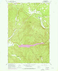
Editions of this 1959 Vail Map
2 editions found
Other maps of this area

1916 · Chehalis
USGS Topo · 1:125,000

1940 · Tenino
USGS Topo · 1:62,500

1943 · Willapa
USGS Topo · 1:62,500

1944 · Tenino
USGS Topo · 1:62,500

1944 · Yelm
USGS Topo · 1:62,500

1949 · Yelm
USGS Topo · 1:62,500

1949 · Tenino
USGS Topo · 1:62,500

1953 · Hoquiam
USGS Topo · 1:250,000

1954 · Onalaska
USGS Topo · 1:62,500

1954 · Centralia
USGS Topo · 1:62,500