Old Maps of Everson, Washington for Academic Research
Study the evolution of Everson with 17 high-resolution historic maps. Whether you're teaching, researching, or modeling changes in land use, these maps provide essential visual documentation of urban, environmental, and geographic change.
- Analyze long-term change: Track patterns in development, transportation, and natural features.
- Ideal for environmental or urban studies: Support academic projects with primary historical map data.
- Use in the classroom or lab: Educators and researchers rely on these maps to bring historical context to life.
These maps are a powerful tool for teaching, research, and visualizing how Everson has changed over the decades.
Everson, WA maps
(17)- 1906 Map of Sumas, 1958 Print
 1906 Sumas1958 Print · USGSWhatcom County's northern borderlands are shown in great detail during the early twentieth century, from the international line down to the growing city of Bellingham. Genealogists and historians can trace early school sites like Gerry School, local industry at Larsens Mill, and the path of the Chicago Milwaukee St Paul and Pacific RR.
 - 1908 Map of Sumas
 1908 Sumas1908 Print · USGSNorthern Whatcom County comes into focus in the early twentieth century as a bustling network of river towns and timber rails. Genealogists and local historians can trace family roots through sites like Larsens Mill, Geary School, and old stops along the B B and B C R R.3 unique versions available
 - 1952 Map of Lynden, 1954 Print
 1952 Lynden1954 Print · USGSThe northern Whatcom County borderlands come to life in the early fifties, showing the agricultural heart of the Lynden area and the North Prairie. Researchers can trace old family holdings near the Nooksack River and locate historic sites like the Indian Cemetery and Tenmile Grange.3 unique versions available
 - 1952 Map of Sumas, 1954 Print
 1952 Sumas1954 Print · USGSThe northern border of Whatcom County comes into focus in the early fifties, showing the busy rail junction and international crossing at Sumas. Genealogists and local historians can trace family-named roads like Halverstick Road and Zwashka Rd across a landscape dotted with rural landmarks like the Nooksack Valley High School.5 unique versions available
 - 1954 Map of Lynden, 1960 Print
 1954 Lynden1960 Print · USGSWhatcom County in the mid-fifties is captured here as a landscape of river-valley farming and border commerce. Genealogists can trace family names and sites across Lynden Cemetery, the Northwood Church, and old school sites like Harmony School.3 unique versions available
 - 1957 Map of Victoria, 1960 Print
 1957 Victoria1960 Print · USGSThe San Juan Islands and the North Cascades coastline are shown in detail during the late fifties, a period of significant military and industrial presence. Researchers can trace historic rail lines like the Great Northern or locate sites such as the Whidbey Island Naval Air Sta and Friday Harbor.4 unique versions available
 - 1975 Map of Bellingham, 1977 Print
 1975 Bellingham1977 Print · USGSNorthwest Washington in the mid-seventies is captured here, from the Canadian border at Blaine to the San Juan Islands. Researchers can trace tribal lands on the Lummi Indian Reservation, find rural settlements like Cokedale, or follow the Burlington Northern rail lines.
 - 2011 Map of Sumas, 2011 Print
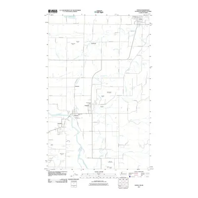 2011 Sumas2011 Print · USGSNear the international border in the early 2010s, this area of Whatcom County shows a landscape of river-valley agriculture and active quarries. Genealogists and local historians can trace the foundations of Sumas, Nooksack, and Everson, along with the Nooksack Cemetery and the Siper and Heutink Quarry.
 - 2011 Map of Lynden, 2011 Print
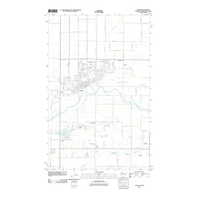 2011 Lynden2011 Print · USGSLynden and the surrounding Whatcom County lowlands are shown here in the early twenty-first century as a landscape defined by the Nooksack River and its complex drainage systems. Local researchers can trace family sites from Indian Joe Cemetery to the Tenmile Grange.
 - 2014 Map of Lynden, 2014 Print
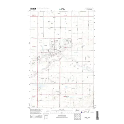 2014 Lynden2014 Print · USGSLynden and the Whatcom County borderlands are shown here in the mid-2010s, characterized by a prolific dairy industry and the winding Nooksack River. Researchers can trace local lineage through the many family-named tracts like Rozelyn Farm or visit the historic Lynden Cem and Monumenta Cem.
 - 2014 Map of Sumas, 2014 Print
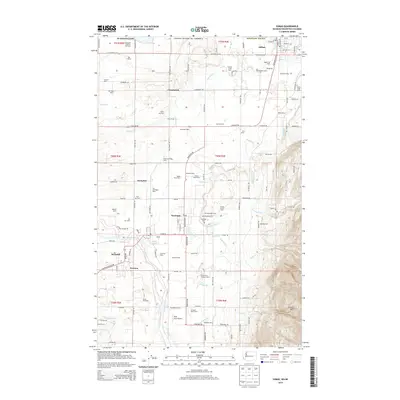 2014 Sumas2014 Print · USGSSettled between the river forks in northern Whatcom County, this recent survey showcases a landscape defined by generational family dairies and international trade. Researchers can trace land use at Breckenridge Farm, locate the Nooksack Cem, or follow the BNSF Railway into Sumas.
 - 2017 Map of Sumas, 2017 Print
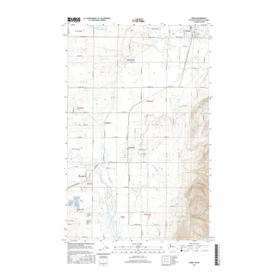 2017 Sumas2017 Print · USGSThe northern borderlands of Whatcom County are shown in detail here just before the close of the 2010s. Researchers can trace the rural landscape between Sumas and Everson, locating sites like the Nooksack Cem and the small settlement of Clearbrook.
 - 2017 Map of Lynden, 2017 Print
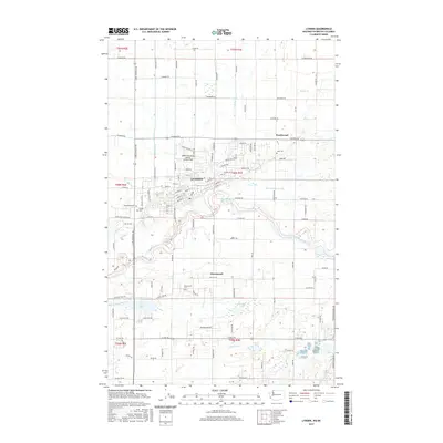 2017 Lynden2017 Print · USGSThe agricultural heart of Whatcom County is meticulously detailed in this recent study of the valley. Researchers can trace family history at Monumenta Cem and Jobe Cem or locate old farmsteads near Greenwood and the Nooksack River.
 - 2020 Map of Lynden, 2020 Print
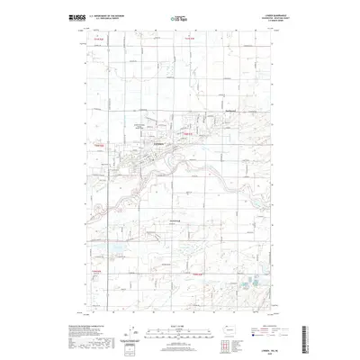 2020 Lynden2020 Print · USGSThis part of Whatcom County is shown in detail as it appeared in the modern era, centered on the Nooksack River valley. Researchers can locate numerous local burial sites like Lynden Cem and Greenwood Cem, or trace the intricate waterway systems of Kamm Ditch and Mormon Ditch.
 - 2020 Map of Sumas, 2020 Print
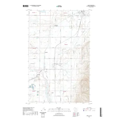 2020 Sumas2020 Print · USGSNear the international border in the early twenty-first century, this area shows a rich network of small Whatcom County settlements and river flats. Researchers can trace historic properties and landmarks between Sumas and Everson, including the Nooksack Cem and Clearbrook.
 - 2023 Map of Sumas, 2023 Print
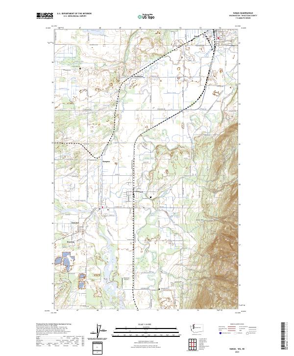 2023 Sumas2023 Print · USGSThe border country of Whatcom County comes into focus in this recent survey of the river valleys and mountain foothills. Researchers can trace family history through sites like Lake Side Cem and Nooksack Cem or locate old crossings at Clearbrook and Strandell.
 - 2023 Map of Lynden, 2023 Print
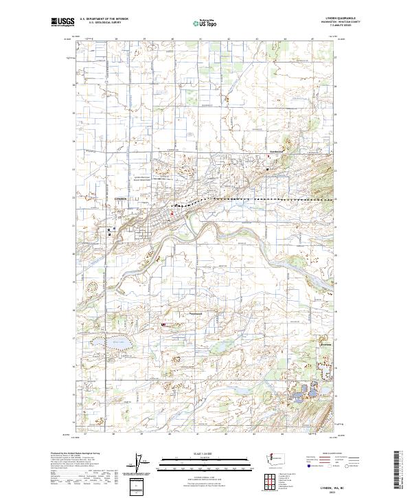 2023 Lynden2023 Print · USGSLynden and the Nooksack River valley are seen here in the early 2020s amidst a landscape of legacy farms and sophisticated water management. Researchers can locate family sites near Monumenta Cem, trace the Kamm Ditch waterway, or find the Lynden Municipal Airport.
End of results
Showing maps 1-17 of 17
Top cities near Everson
Top neighborhoods of Everson
Frequently asked questions
- What are the different types of historical maps available for Everson?
- What is the oldest map of Everson?
- Where can I purchase historical maps of Everson for my home or office?
- Where can I download high-res historical maps of Everson?
- Are there historical topographic maps available for Everson?
- Is there historical aerial imagery available for Everson?
- Where are historical maps of Everson sourced from?