Old Maps of Union, West Virginia for Hiking & Exploration
Hike through history with 14 historic maps of Union. Explore old trails, ghost towns, and forgotten backroads — perfect for outdoor adventurers and local explorers.
- Rediscover forgotten places: Map out old mining camps, roads, and footpaths that no longer exist on modern maps.
- Layer with modern tools: Combine with LiDAR or satellite views to plan hikes through historical terrain.
- Made for exploration: Popular among hikers, overlanders, and local history lovers.
Use these maps to find adventure and explore the hidden past of Union.
Union, WV maps
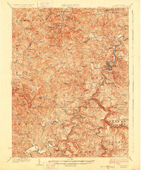
(14)- 1904 Map of Philippi
 1904 Philippi1904 Print · USGSBarbour and Upshur counties are shown during a period of coal-driven growth and rural stability just after the turn of the century. Trace the early industrial footprints of Berryburg and Century, or locate family landmarks like Peter's Mill and the Burnersville Volga P.O..2 unique versions available
 - 1925 Map of Philippi, 1954 Print
 1925 Philippi1954 Print · USGSIn the mid-1920s, the Tygart River valley was a busy corridor of coal settlements and river commerce. Genealogists can locate family homesteads near vanished landmarks like Brownton PO, Pigtail School, and the Electric Line near Galloway.
 - 1928 Map of Philippi
 1928 Philippi1928 Print · USGSBarbour County is shown here in the mid-twenties as the Baltimore and Ohio railroad connected river towns and coal camps. Researchers can trace ancestral roots through dozens of local landmarks like Adaland, Rangoon PO, and the Pleasant Grove Church.2 unique versions available
 - 1949 Map of Clarksburg
 1949 Clarksburg1949 Print · USGSThe upper Ohio River valley and the industrial heart of West Virginia come into focus during this post-war period. Genealogists and researchers can trace the rail corridors of the Baltimore and Ohio and locate centers like Fairmont, Grafton, and Waynesburg.
 - 1956 Map of Clarksburg, 1966 Print
 1956 Clarksburg1966 Print · USGSThe Ohio River valley and the industrial heart of West Virginia are seen here in the mid-1950s as rail and river commerce thrived. Researchers can trace historic transport lines like the Baltimore and Ohio RR and locate ancestral homes in Clarksburg, Moundsville, or Parkersburg.2 unique versions available
 - 1960 Map of Audra, 1962 Print
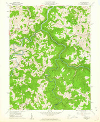 1960 Audra1962 Print · USGSBarbour and Upshur Counties are shown here during the early sixties, a period when mountain rail and river life still defined the region. Genealogists can trace family names through landmarks like Jerusalem Cem, Booth Cem, and the old Mt Hebron Sch.3 unique versions available
 - 1961 Map of Clarksburg
 1961 Clarksburg1961 Print · USGSThe mid-century industrial and river landscapes of West Virginia and Ohio are detailed here, centered on the Ohio River. Researchers can trace the Baltimore and Ohio rail lines connecting towns like Parkersburg, Clarksburg, and Monongah.
 - 1982 Map of Clarksburg, 1983 Print
 1982 Clarksburg1983 Print · USGSNorth Central West Virginia in the early eighties reveals a landscape deeply connected to its coal and gas resources. Genealogists and researchers can trace family landmarks and historical settlements from Clarksburg to Buckhannon, or locate sites like Quiet Dell and Watters Smith Memorial State Park.
 - 1988 Map of Clarksburg, 1989 Print
 1988 Clarksburg1989 Print · USGSThe central Appalachians are documented in detail during the late eighties, showing the industrial and river-based economies of West Virginia, Ohio, and Pennsylvania. Researchers can trace historic rail routes like the B & O RR and locate river towns from St Marys to Parkersburg.
 - 2011 Map of Audra, 2011 Print
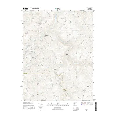
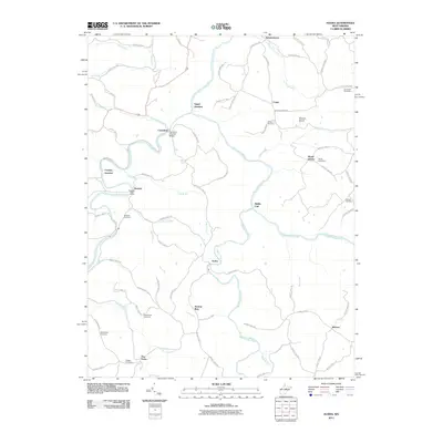 2011 Audra2011 Print · USGSCovers Union, including Werner, Independence, and other nearby areas
 - 2014 Map of Audra, 2014 Print
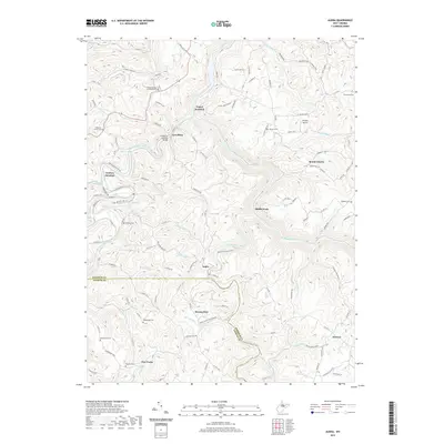
 2014 Audra2014 Print · USGSCovers Union, including Werner, Independence, and other nearby areas
 - 2016 Map of Audra, 2016 Print
 2016 Audra2016 Print · USGSCovers Union, including Werner, Independence, and other nearby areas
 - 2019 Map of Audra, 2019 Print
 2019 Audra2019 Print · USGSCovers Union, including Werner, Independence, and other nearby areas
 - 2023 Map of Audra, 2023 Print
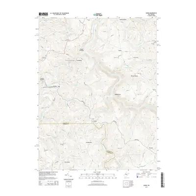
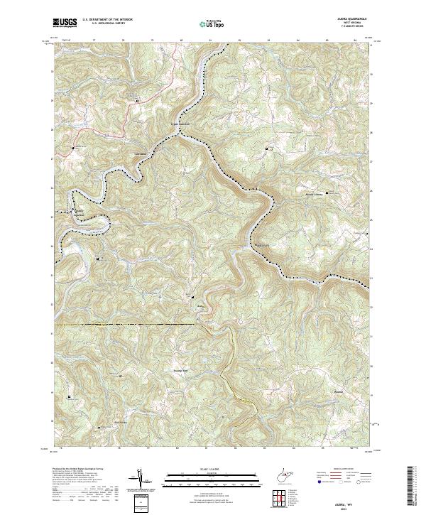 2023 Audra2023 Print · USGSThe river forks of Barbour and Upshur counties are shown here in modern detail, where the Buckhannon River and Middle Fork River wind through steep hills. Genealogists can locate several family cemeteries, such as Redabaugh Cem and Holbert Cem, alongside settlements like Carrollton.
End of results
Showing maps 1-14 of 14
Top cities near Union
- Clarksburg historical maps
- Bridgeport historical maps
- Elkins historical maps
- Buckhannon historical maps
- Grafton historical maps
- Philippi historical maps
See more
Frequently asked questions
- What are the different types of historical maps available for Union?
- What is the oldest map of Union?
- Where can I purchase historical maps of Union for my home or office?
- Where can I download high-res historical maps of Union?
- Are there historical topographic maps available for Union?
- Is there historical aerial imagery available for Union?
- Where are historical maps of Union sourced from?