Old Maps of Georgetown, West Virginia for Genealogy
Trace your family roots with 21 historic maps of Georgetown. These high-res maps reveal old neighborhoods, homesites, landmarks, and streets — helping you uncover where your ancestors lived and how the area evolved over time.
- Explore historic neighborhoods: Identify where your relatives may have lived in the 1800s or 1900s.
- Compare maps over time: Trace the changes in streets, buildings, and landmarks for multi-generational research.
- Perfect for genealogy & ancestry research: Used by family historians and researchers to map out lineage and migration.
These maps are an incredible resource for exploring your personal connection to Georgetown's past.
Georgetown, WV maps
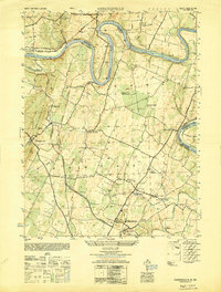
(21)- 1912 Map of Williamsport
 1912 Williamsport1912 Print · USGSUpper Maryland and the West Virginia panhandle were bustling centers of river and rail transit before the First World War. Researchers can trace the path of the Chesapeake and Ohio Canal and locate family landmarks like Cushwa Mill or the St James School.3 unique versions available
 - 1942 Map of Hagerstown
 1942 Hagerstown1942 Print · USGSThe Cumberland Valley and Potomac corridor are captured here at the height of the Second World War rail-and-river era. Genealogists and historians can trace the industrial landscape of Richmond Furnace, the route of the Chesapeake and Ohio Canal, and the grounds of Camp Ritchie.
 - 1943 Map of Hagerstown
 1943 Hagerstown1943 Print · USGSThe Cumberland Valley was a critical wartime logistics hub in the 1940s, teeming with rail traffic and new military installations. Genealogists and historians can trace the Chesapeake and Ohio Canal or locate local landmarks like Richmond Furnace and Camp Ritchie.
 - 1944 Map of Hedgesville
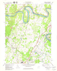
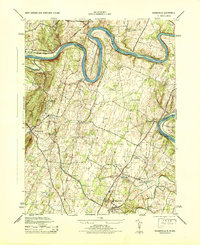 1944 Hedgesville1944 Print · USGSBerkeley County and the Maryland borderlands are captured here during the mid-forties, showing a landscape defined by the Potomac River and the Chesapeake and Ohio Canal. Genealogists can trace family roots through markers like Oak Grove School or the rural settlements of Hedgesville and Bedington.
 - 1944 Map of Williamsport, 1959 Print
 1944 Williamsport1959 Print · USGSMaryland and West Virginia meet along the winding Potomac in the mid-1940s, a landscape defined by river trade and mountain ridges. Genealogists and historians can trace the Chesapeake and Ohio Canal past McCoys Ferry, Cushwa Mill, and the Stonewall Jackson Monument.2 unique versions available
 - 1948 Map of Baltimore
 1948 Baltimore1948 Print · USGSMaryland and Pennsylvania crossroads are captured in the late 1940s, showing a landscape defined by historic rail lines and major military installations. Genealogists can trace family connections in Gettysburg, Westminster, and near the U.S. Naval Academy in Annapolis.2 unique versions available
 - 1949 Map of Hedgesville
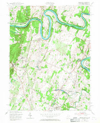
 1949 Hedgesville1949 Print · USGSThe Potomac River valley in the late 1940s was a hub of canal history and industrial transition. Researchers can trace the path of the Chesapeake and Ohio Canal, locate the Stonewall Jackson Monument, and find vanished infrastructure like Mc Coys Ferry or the Old Mill.
 - 1954 Map of Baltimore
 1954 Baltimore1954 Print · USGSThe Mid-Atlantic region in the early fifties shows a landscape of growing suburban centers and heavy rail corridors. Trace mid-century transit networks and military landmarks from the Aberdeen Proving Ground to the Gettysburg National Military Park.
 - 1955 Map of Hedgesville, 1967 Print
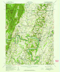
 1955 Hedgesville1967 Print · USGSThe West Virginia panhandle and Maryland border meet here in the mid-1950s along the winding Potomac River. Genealogists and historians can trace the paths of the Chesapeake and Ohio Canal, locate the Stonewall Jackson Monument, and explore settlements like Hedgesville and Bedington.2 unique versions available
 - 1956 Map of Baltimore
 1956 Baltimore1956 Print · USGSMid-century Maryland and Pennsylvania are captured here during a period of massive suburban and military growth across the Chesapeake region. Genealogists and historians can trace the rail corridors of the Baltimore & Ohio RR and locate landmarks like Fort McHenry or the Aberdeen Proving Ground.
 - 1957 Map of Baltimore, 1964 Print
 1957 Baltimore1964 Print · USGSMaryland and Southern Pennsylvania are shown during the mid-century expansion of the Baltimore-Washington corridor. Researchers can trace the extensive rail lines of the Baltimore & Ohio RR and locate sites like Fort Detrick and Gettysburg National Military Park.5 unique versions available
 - 1961 Map of Baltimore
 1961 Baltimore1961 Print · USGSMaryland and Pennsylvania are captured at a mid-century peak of industrial and military expansion. Genealogists and historians can trace rail corridors like the Western Maryland Ry or locate regional landmarks such as Camp Detrick and Kent Island.
 - 1979 Map of Hedgesville
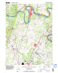
 1979 Hedgesville1979 Print · USGSBerkeley County's northern panhandle and the Maryland border are captured here during the late seventies as industrial rail yards met a landscape of river-side parks. Researchers can find historical landmarks like the Stonewall Jackson Monument, the Old Mill, and the complex lock system of the C & O Canal.
 - 1983 Map of Hagerstown, 1984 Print
 1983 Hagerstown1984 Print · USGSThe tri-state borderlands of Maryland, Pennsylvania, and West Virginia are shown in the early eighties as a hub of military installations and valley towns. Genealogists and historians can trace the landscape from Gettysburg National Military Park to the banks of the Potomac River.2 unique versions available
 - 1989 Map of Baltimore
 1989 Baltimore1989 Print · USGSThe Mid-Atlantic corridor in the late eighties is captured here, from the Baltimore harbor to the Blue Ridge foothills. Researchers can trace the sprawling footprints of Aberdeen Proving Ground, the historic grounds of Gettysburg National Military Park, and the winding Susquehanna River.
 - 1997 Map of Hedgesville, 2000 Print
 1997 Hedgesville2000 Print · USGSThe West Virginia-Maryland border comes alive in the late 1990s as the Potomac River winds past the Chesapeake and Ohio Canal National Historical Park. Genealogists and historians can trace rail history at Cumbo Yard, visit the Stonewall Jackson Monument, or locate family sites near Little Georgetown.
 - 2011 Map of Hedgesville, 2011 Print
 2011 Hedgesville2011 Print · USGSCovers Georgetown, including Hedgesville, Allensville, and other nearby areas
 - 2014 Map of Hedgesville, 2014 Print
 2014 Hedgesville2014 Print · USGSCovers Georgetown, including Hedgesville, Allensville, and other nearby areas
 - 2016 Map of Hedgesville, 2016 Print
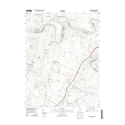
 2016 Hedgesville2016 Print · USGSCovers Georgetown, including Hedgesville, Allensville, and other nearby areas
 - 2019 Map of Hedgesville, 2019 Print
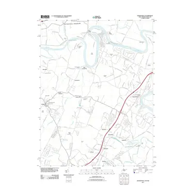
 2019 Hedgesville2019 Print · USGSCovers Georgetown, including Hedgesville, Allensville, and other nearby areas
 - 2023 Map of Hedgesville, 2023 Print
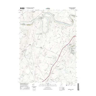
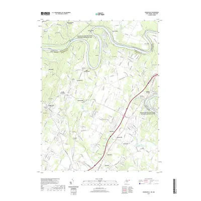
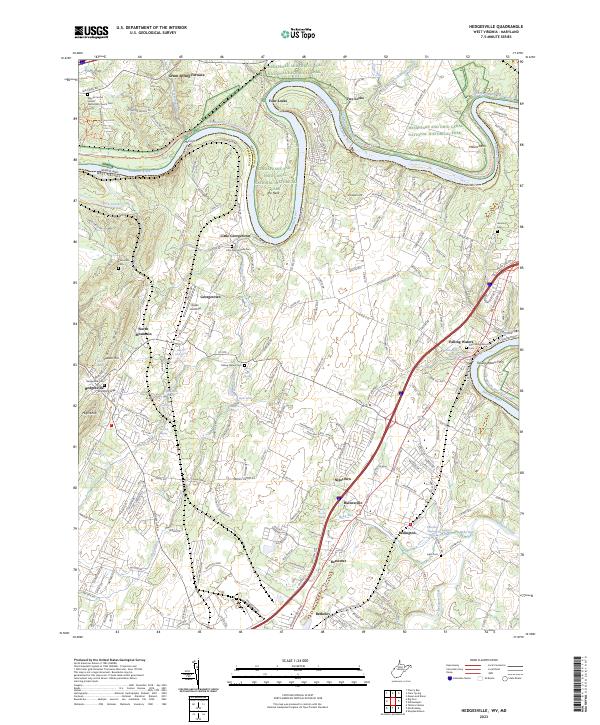 2023 Hedgesville2023 Print · USGSBerkeley County's Potomac River frontier comes into focus here in this modern survey of the historic canal corridor and its neighboring settlements. Trace the river's path through Four Locks and McCoys Ferry, or locate ancestral burial sites at Falling Waters Cem and Hedgesville Cem.
End of results
Showing maps 1-21 of 21
Top cities near Georgetown
- Hagerstown historical maps
- Martinsburg historical maps
- Halfway historical maps
- Ranson historical maps
- Maugansville historical maps
- Inwood historical maps
See more
Frequently asked questions
- What are the different types of historical maps available for Georgetown?
- What is the oldest map of Georgetown?
- Where can I purchase historical maps of Georgetown for my home or office?
- Where can I download high-res historical maps of Georgetown?
- Are there historical topographic maps available for Georgetown?
- Is there historical aerial imagery available for Georgetown?
- Where are historical maps of Georgetown sourced from?