2000s (21st Century) Maps of Weirton District, West Virginia
Explore 15 historic maps of Weirton District from the 2000s (21st Century). These maps offer a rare glimpse into what life looked like during the 2000s — showing old roads, neighborhoods, homes, and landmarks that have changed or disappeared over time.
Whether you're researching your family's past, planning a metal detecting trip, or studying how Weirton District's landscape evolved across the 2000s, these high-resolution maps are a powerful tool for exploring the history of this region.
- Focus on a specific era: All maps on this page are from the 2000s, giving you a focused view of this time period.
- See what’s changed: Compare century-old streets, trails, and buildings to today's modern landscape using overlays and satellite layers.
- Research with precision: Use these maps for genealogy, historical research, land use analysis, or educational projects.
- View, download, or print: Maps are fully viewable online in high resolution, and can be downloaded or printed for your own records.
Start exploring Weirton District's history through authentic maps from the 2000s. This is your window into the past.
Weirton District, WV maps
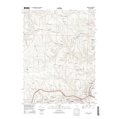
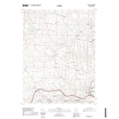
(15)- 2010 Map of Steubenville East, 2010 Print
 2010 Steubenville East2010 Print · USGSCovers Weirton District, including Weirton, Steubenville, and other nearby areas
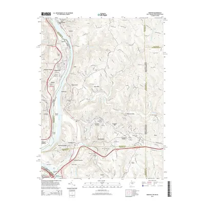
 - 2010 Map of Weirton, 2010 Print
 2010 Weirton2010 Print · USGSCovers Weirton District, including Weirton, Steubenville, and other nearby areas
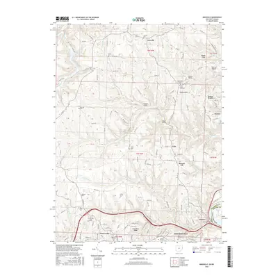
 - 2010 Map of Knoxville, 2010 Print
 2010 Knoxville2010 Print · USGSCovers Weirton District, including Weirton, Steubenville, and other nearby areas
 - 2013 Map of Steubenville East, 2013 Print
 2013 Steubenville East2013 Print · USGSCovers Weirton District, including Weirton, Steubenville, and other nearby areas
 - 2013 Map of Knoxville, 2013 Print
 2013 Knoxville2013 Print · USGSCovers Weirton District, including Weirton, Steubenville, and other nearby areas
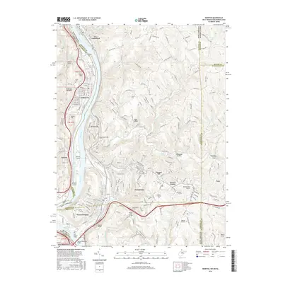
 - 2014 Map of Weirton, 2014 Print
 2014 Weirton2014 Print · USGSCovers Weirton District, including Weirton, Steubenville, and other nearby areas
 - 2016 Map of Weirton, 2016 Print
 2016 Weirton2016 Print · USGSCovers Weirton District, including Weirton, Steubenville, and other nearby areas
 - 2016 Map of Steubenville East, 2016 Print
 2016 Steubenville East2016 Print · USGSCovers Weirton District, including Weirton, Steubenville, and other nearby areas
 - 2016 Map of Knoxville, 2016 Print
 2016 Knoxville2016 Print · USGSCovers Weirton District, including Weirton, Steubenville, and other nearby areas
 - 2019 Map of Knoxville, 2019 Print
 2019 Knoxville2019 Print · USGSCovers Weirton District, including Weirton, Steubenville, and other nearby areas
 - 2019 Map of Steubenville East, 2019 Print
 2019 Steubenville East2019 Print · USGSCovers Weirton District, including Weirton, Steubenville, and other nearby areas
 - 2019 Map of Weirton, 2019 Print
 2019 Weirton2019 Print · USGSCovers Weirton District, including Weirton, Steubenville, and other nearby areas
 - 2023 Map of Weirton, 2023 Print
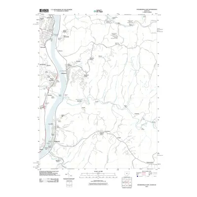
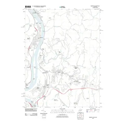
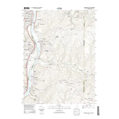
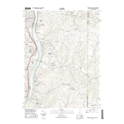
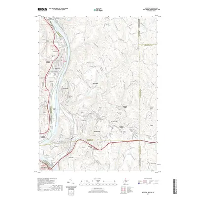
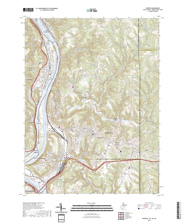 2023 Weirton2023 Print · USGSThe industrial heart of the Ohio River valley is shown here in the 2020s, spanning the border between West Virginia, Ohio, and Pennsylvania. Researchers can trace the layout of WEIRTON neighborhoods from Marland Heights to Pottery Addition, or locate historic sites like Union Cem and Saint Pauls Cem.
 - 2023 Map of Steubenville East, 2023 Print
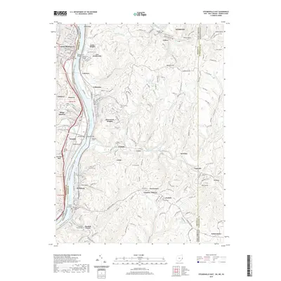
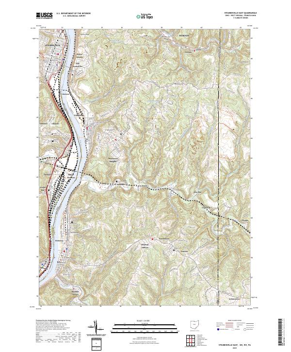 2023 Steubenville East2023 Print · USGSThe Ohio River valley at the West Virginia and Ohio border shows a dense corridor of steel-town history and rail infrastructure. Trace family roots at Mingo Junction Cem or Brooke Cem, and locate the historic Jefferson County Courthouse near the riverfront.
 - 2023 Map of Knoxville, 2023 Print
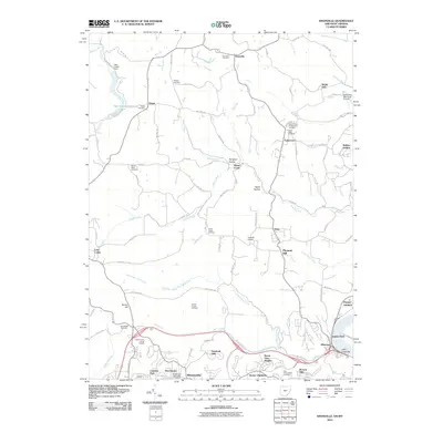
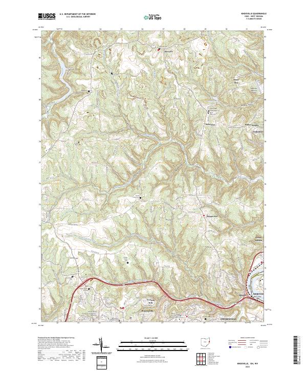 2023 Knoxville2023 Print · USGSJefferson County, Ohio, is captured here in the early twenty-first century, showing the rural ridges and growing suburban edges west of the Ohio River. Local historians can trace old family burial grounds like Shelley Cem and Two Ridges Cem alongside landmarks such as Brandywine Lake.
End of results
Showing maps 1-15 of 15
Top cities near Weirton District
- Wheeling historical maps
- Weirton historical maps
- Steubenville historical maps
- Martins Ferry historical maps
- Toronto historical maps
- Wintersville historical maps
See more
Top neighborhoods of Weirton District
Frequently asked questions
- What are the different types of historical maps available for Weirton District?
- What is the oldest map of Weirton District?
- Where can I purchase historical maps of Weirton District for my home or office?
- Where can I download high-res historical maps of Weirton District?
- Are there historical topographic maps available for Weirton District?
- Is there historical aerial imagery available for Weirton District?
- Where are historical maps of Weirton District sourced from?