2010s Maps of Weirton District, West Virginia
Explore 12 historic maps of Weirton District from the 2010s. These maps offer a rare glimpse into what life looked like during the 2010s — showing old roads, neighborhoods, homes, and landmarks that have changed or disappeared over time.
Whether you're researching your family's past, planning a metal detecting trip, or studying how Weirton District's landscape evolved across the 2010s, these high-resolution maps are a powerful tool for exploring the history of this region.
- Focus on a specific era: All maps on this page are from the 2010s, giving you a focused view of this time period.
- See what’s changed: Compare century-old streets, trails, and buildings to today's modern landscape using overlays and satellite layers.
- Research with precision: Use these maps for genealogy, historical research, land use analysis, or educational projects.
- View, download, or print: Maps are fully viewable online in high resolution, and can be downloaded or printed for your own records.
Start exploring Weirton District's history through authentic maps from the 2010s. This is your window into the past.
Weirton District, WV maps
(12)- 2010 Map of Steubenville East, 2010 Print
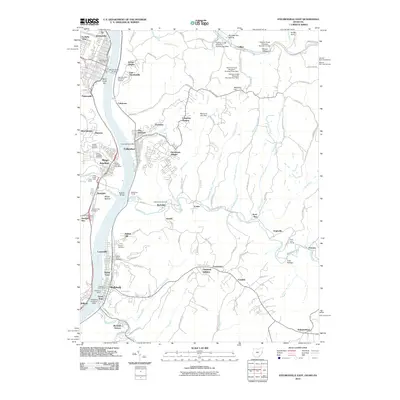 2010 Steubenville East2010 Print · USGSThe industrial heart of the Ohio River valley is captured here in the early twenty-first century as it spans the border between Ohio and West Virginia. Genealogists and local historians can trace family plots at Brooke Cemetery or explore the riverfront heritage of Wellsburg and Mingo Junction.
 - 2010 Map of Weirton, 2010 Print
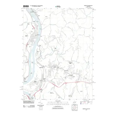 2010 Weirton2010 Print · USGSThe industrial corridor of the Northern Panhandle and the Ohio River is shown here in the early twenty-first century. Researchers can trace historic neighborhoods and transport hubs from the Weirton Yards and Holidays Cove to the Weirton - Steubenville Seaplane Base.
 - 2010 Map of Knoxville, 2010 Print
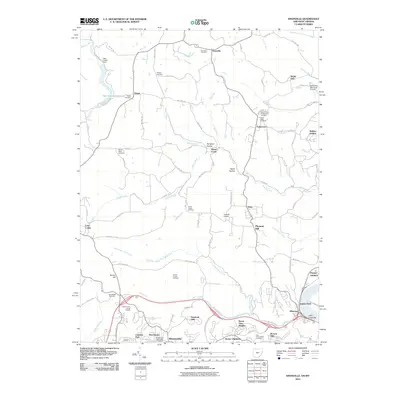 2010 Knoxville2010 Print · USGSThe Jefferson County hills and the Ohio River valley appear in high detail during this era of modern suburban expansion. Genealogists can trace family lines through numerous sites like Two Ridges Cemetery, Wintersville Methodist Cemetery, and the Pottery Addition.
 - 2013 Map of Steubenville East, 2013 Print
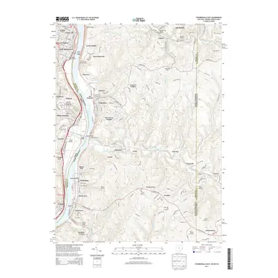 2013 Steubenville East2013 Print · USGSThe industrial heart of the Ohio River valley is captured here in the early twenty-first century, showing the established riverfronts of Steubenville and Wellsburg. Researchers can locate several family and local burial grounds like Cross Creek Cem and Brooke Cem, or trace the legacy of river commerce at Wellsburg Wharf.
 - 2013 Map of Knoxville, 2013 Print
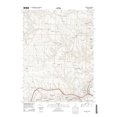 2013 Knoxville2013 Print · USGSThe hills of Jefferson County, Ohio, are mapped here in the early 21st century as the Ohio River flows past Toronto and Stanton Park. Researchers can trace dozens of family and community sites, from the Knoxville Cem to the Winter Drive-In Theatre and Wintersville.
 - 2014 Map of Weirton, 2014 Print
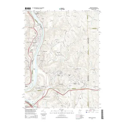 2014 Weirton2014 Print · USGSThe industrial heart of the upper Ohio River valley is captured here in the early twenty-first century, spanning the borders of West Virginia, Ohio, and Pennsylvania. Researchers can trace local lineage through several landmarks like Union Cem, Holidays Cove, and the Devil's Den Covered Bridge.
 - 2016 Map of Weirton, 2016 Print
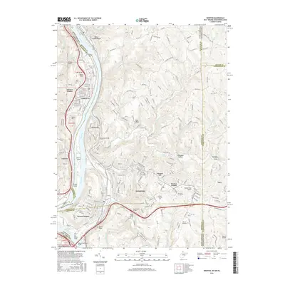 2016 Weirton2016 Print · USGSThe industrial heart of the Ohio River valley comes to life in this mid-2010s survey of the tri-state border region. Researchers can trace the sprawling neighborhoods of Weirton and Toronto or locate historic sites like Devil's Den Covered Bridge and Union Cem.
 - 2016 Map of Steubenville East, 2016 Print
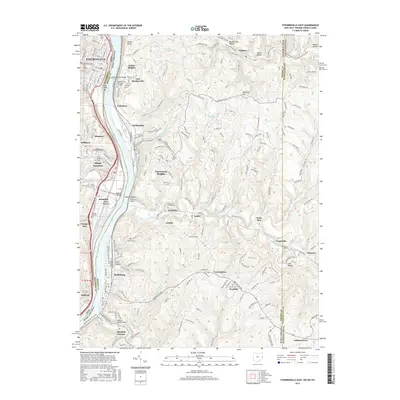 2016 Steubenville East2016 Print · USGSThe industrial heart of the Upper Ohio Valley comes into focus in this recent survey of the West Virginia, Ohio, and Pennsylvania borders. Researchers can trace historic riverfront life and upland cemeteries like Franklin Cem, Mingo Cem, and the path of the Panhandle Rail-Trail.
 - 2016 Map of Knoxville, 2016 Print
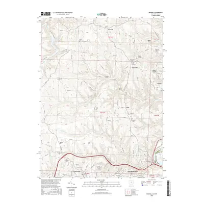 2016 Knoxville2016 Print · USGSThe Ohio River valley north of Steubenville is shown here at a time of suburban expansion and deep-rooted local history. Researchers can trace family sites at the Fort Steuben Burial Estates or find early settlements like Knoxville and Taylortown.
 - 2019 Map of Knoxville, 2019 Print
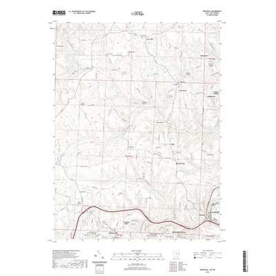 2019 Knoxville2019 Print · USGSThe Ohio River hills at the end of the second decade of the millennium reveal a landscape of growing suburbs and deep-rooted rural traditions. Genealogists can trace family heritage through numerous pioneer burial grounds such as Osage Cem, Shelley Cem, and Mount Tabor Cem.
 - 2019 Map of Steubenville East, 2019 Print
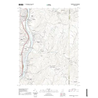 2019 Steubenville East2019 Print · USGSThe industrial heart of the Upper Ohio Valley comes into focus in the late 2010s, showing the dense riverside settlements and hill-country hollows. Researchers can trace ancestral sites at Mingo Junction Cem, locate the Jefferson County Courthouse, or follow the path of the Panhandle Rail-Trail.
 - 2019 Map of Weirton, 2019 Print
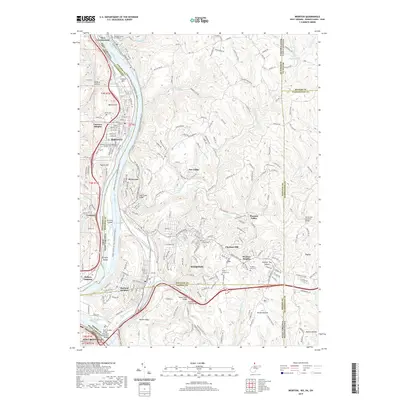 2019 Weirton2019 Print · USGSThe industrial and riverfront landscapes of the upper Ohio Valley are captured here during a period of modern transition. Researchers can trace family sites from Union Cem to Marland Heights or locate the Devil's Den Covered Bridge near the Pennsylvania line.
End of results
Showing maps 1-12 of 12
Top cities near Weirton District
- Wheeling historical maps
- Weirton historical maps
- Steubenville historical maps
- Martins Ferry historical maps
- Toronto historical maps
- Wintersville historical maps
See more
Top neighborhoods of Weirton District
Frequently asked questions
- What are the different types of historical maps available for Weirton District?
- What is the oldest map of Weirton District?
- Where can I purchase historical maps of Weirton District for my home or office?
- Where can I download high-res historical maps of Weirton District?
- Are there historical topographic maps available for Weirton District?
- Is there historical aerial imagery available for Weirton District?
- Where are historical maps of Weirton District sourced from?