Old Maps of Chestnut Knob, West Virginia for Metal Detecting
Plan your next treasure hunt with 14 historic maps of Chestnut Knob. Find old homesites, ghost towns, trails, and gathering spots that may be lost to time — perfect for identifying promising metal detecting locations.
- Locate forgotten sites: Uncover places like long-lost settlements, abandoned rail lines, or gathering spots.
- Plan better hunts: Use map overlays combined with LiDAR or satellite views to narrow in on historically rich areas.
- Made for detectorists: Thousands of hobbyists use these maps to discover relics, coins, and hidden history.
Use these historic maps to boost your research and find new opportunities beneath the surface of Chestnut Knob.
Chestnut Knob, WV maps
(14)- 1887 Map of Hinton
 1887 Hinton1887 Print · USGSSouthern West Virginia’s rugged river corridors and mineral spring resorts come alive in this late nineteenth-century survey. Trace the rail-and-river economy through the Big Bend Tunnel, the Greenbrier Stock Yards, and the historic springs at Red Sulphur Springs.
 - 1892 Map of Hinton
 1892 Hinton1892 Print · USGSSouthern West Virginia in the late nineteenth century centers on the river-and-rail hub of Hinton and the high ridges of the Alleghenies. Researchers can trace early railroad engineering at the Big Bend Tunnel or locate historic mineral spring resorts like Salt Sulphur Springs and Blue Sulphur Springs.5 unique versions available
 - 1912 Map of Meadow Creek
 1912 Meadow Creek1912 Print · USGSWest Virginia's Fayette and Greenbrier borderlands are captured here in the early twentieth century, showing a landscape of timber and mountain settlements. Genealogists can locate dozens of country schools like Rock of Ages School and Eureka School, alongside the Sandstone Falls on the New River.3 unique versions available
 - 1915 Map of Meadow Creek
 1915 Meadow Creek1915 Print · USGSThe West Virginia highlands come to life in this detailed survey of the mountain ridges and river valleys just before the First World War. Genealogists can locate dozens of country schools and remote post offices like Rock of Ages School, Brownwood Lawton P.O., and Layland.3 unique versions available
 - 1955 Map of Bluefield
 1955 Bluefield1955 Print · USGSThe Central Appalachian borderlands come alive in the mid-fifties, showing the coal and rail networks connecting Bluefield to Beckley. Researchers can trace the industrial landscape of the New River Ordnance Plant and the terrain of Burkes Garden.
 - 1957 Map of Bluefield, 1967 Print
 1957 Bluefield1967 Print · USGSThe heart of Central Appalachia in the mid-fifties is defined by the winding rail lines and river valleys of the coalfields. Researchers can trace the industrial footprints of towns like Welch and Princeton or locate landmarks such as the Bluestone Reservoir and Claytor Lake.2 unique versions available
 - 1961 Map of Bluefield
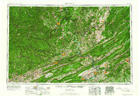 1961 Bluefield1961 Print · USGSThe coalfields and mountain ridges of southern West Virginia and southwest Virginia are captured in the early sixties. Genealogists can trace family ties through rail-linked towns like Princeton and Richlands or along the shores of Bluestone Reservoir.
 - 1969 Map of Danese, 1972 Print
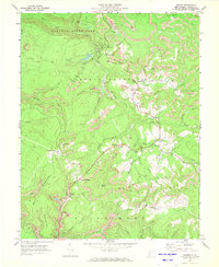 1969 Danese1972 Print · USGSFayette County coal country is captured here in the late sixties, showing the interplay between mountain industry and local life. Genealogists can locate family landmarks like Zickafoose Ch, the Danese Sch, and various mining sites near Maplewood and Layland.3 unique versions available
 - 1984 Map of Lewisburg, 1985 Print
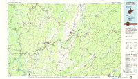 1984 Lewisburg1985 Print · USGSThe Greenbrier Valley in the mid-eighties shows a landscape of river-town commerce, mountain agriculture, and major institutional landmarks. Researchers can trace the rail corridors of the Chesapeake and Ohio and locate sites like the Federal Reformatory for Women and the Sam Black Church.2 unique versions available
 - 2011 Map of Danese, 2011 Print
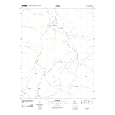 2011 Danese2011 Print · USGSFayette County ridge-and-hollow life is documented here in the early twenty-first century, showing the dispersed settlements of the West Virginia highlands. Family historians can locate Smailes Cemetery or Shuck Cemetery, and trace the paths of Shades Death Creek and Glade Creek.
 - 2014 Map of Danese, 2014 Print
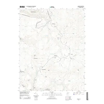 2014 Danese2014 Print · USGSFayette County's high plateau and the edges of the New River Gorge are documented here in the early twenty-first century. Genealogists and local historians can trace the locations of Smalles Cemetery, the settlement of Danese, and the Mann Mountain Lookout Tower.
 - 2016 Map of Danese, 2016 Print
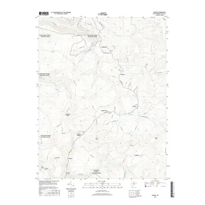 2016 Danese2016 Print · USGSFayette County's high ridges and deep hollows are captured here in 2016, showing the interplay of small settlements and the protected lands of the New River Gorge National River. Researchers can locate family burial sites at Smailes Cem or Layland Cem and trace the paths of Shades Death Cr and the Skyline Trail.
 - 2019 Map of Danese, 2019 Print
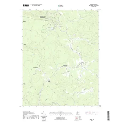 2019 Danese2019 Print · USGSFayette County’s high ridges and deep hollows are captured here in the late 2010s. Genealogists and hikers can trace old family burial grounds like Anderson Cem or explore the paths of the Narrow Gauge Rail-Trail and Wilderness Trail.
 - 2023 Map of Danese, 2023 Print
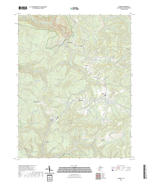 2023 Danese2023 Print · USGSFayette County ridgetops and the gorge periphery are shown here in detail during the early 2020s. Genealogists and hikers can trace old family burial grounds like Anderson Cem or explore the trail network near Landisburg and Manns Creek.
End of results
Showing maps 1-14 of 14
Top cities near Chestnut Knob
- Beckley historical maps
- Oak Hill historical maps
- Fayetteville historical maps
- Hinton historical maps
- Ansted historical maps
- Rainelle historical maps
See more
Frequently asked questions
- What are the different types of historical maps available for Chestnut Knob?
- What is the oldest map of Chestnut Knob?
- Where can I purchase historical maps of Chestnut Knob for my home or office?
- Where can I download high-res historical maps of Chestnut Knob?
- Are there historical topographic maps available for Chestnut Knob?
- Is there historical aerial imagery available for Chestnut Knob?
- Where are historical maps of Chestnut Knob sourced from?