2000s (21st Century) Maps of Hopewell, West Virginia
Explore 6 historic maps of Hopewell from the 2000s (21st Century). These maps offer a rare glimpse into what life looked like during the 2000s — showing old roads, neighborhoods, homes, and landmarks that have changed or disappeared over time.
Whether you're researching your family's past, planning a metal detecting trip, or studying how Hopewell's landscape evolved across the 2000s, these high-resolution maps are a powerful tool for exploring the history of this region.
- Focus on a specific era: All maps on this page are from the 2000s, giving you a focused view of this time period.
- See what’s changed: Compare century-old streets, trails, and buildings to today's modern landscape using overlays and satellite layers.
- Research with precision: Use these maps for genealogy, historical research, land use analysis, or educational projects.
- View, download, or print: Maps are fully viewable online in high resolution, and can be downloaded or printed for your own records.
Start exploring Hopewell's history through authentic maps from the 2000s. This is your window into the past.
Hopewell, WV maps
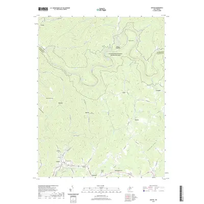
(6)- 2000 Map of Ansted, 2001 Print
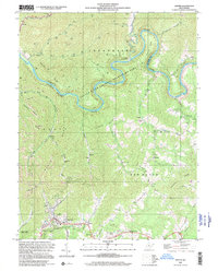 2000 Ansted2001 Print · USGSFayette and Nicholas counties at the start of the millennium show a landscape of deep river gorges and upland mining operations. Researchers can locate family landmarks such as Restlawn Memory Gardens, Mt Eary Ch, and the old settlement at Victor.
 - 2011 Map of Ansted, 2011 Print
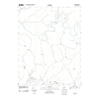 2011 Ansted2011 Print · USGSCovers Hopewell, including Ansted, Woods Ferry, and other nearby areas
 - 2014 Map of Ansted, 2014 Print
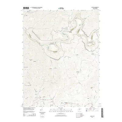 2014 Ansted2014 Print · USGSCovers Hopewell, including Ansted, Woods Ferry, and other nearby areas
 - 2016 Map of Ansted, 2016 Print
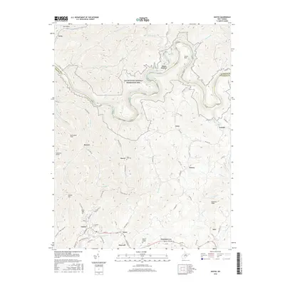 2016 Ansted2016 Print · USGSCovers Hopewell, including Ansted, Woods Ferry, and other nearby areas
 - 2019 Map of Ansted, 2019 Print
 2019 Ansted2019 Print · USGSCovers Hopewell, including Ansted, Woods Ferry, and other nearby areas
 - 2023 Map of Ansted, 2023 Print
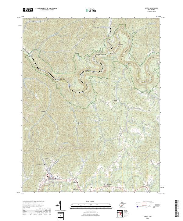 2023 Ansted2023 Print · USGSFayette and Nicholas Counties are documented here in the early twenty-first century, showing the rugged river gorge country of the New River region. Genealogists and historians can trace family locations near Ansted, Woods Ferry, and the Mount Chapel Cem.
End of results
Showing maps 1-6 of 6
Top cities near Hopewell
- Oak Hill historical maps
- Summersville historical maps
- Fayetteville historical maps
- Ansted historical maps
- Mount Hope historical maps
- Gauley Bridge historical maps
See more
Frequently asked questions
- What are the different types of historical maps available for Hopewell?
- What is the oldest map of Hopewell?
- Where can I purchase historical maps of Hopewell for my home or office?
- Where can I download high-res historical maps of Hopewell?
- Are there historical topographic maps available for Hopewell?
- Is there historical aerial imagery available for Hopewell?
- Where are historical maps of Hopewell sourced from?