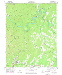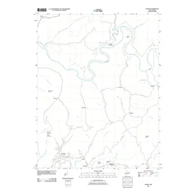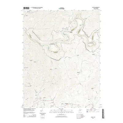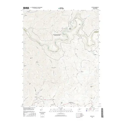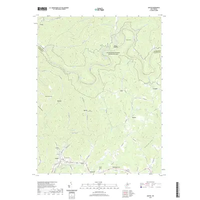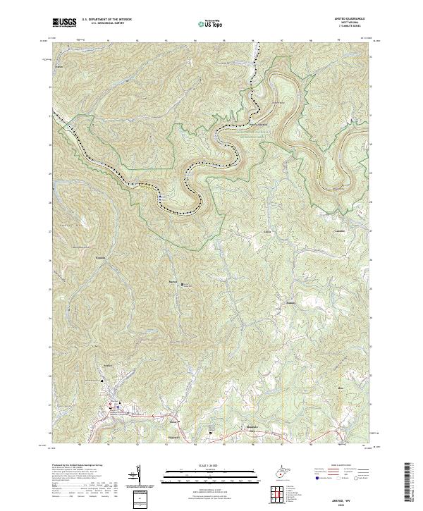
2000 Map of Ansted
USGS Topo · Published 2001About this map
Ansted and the surrounding Fayette County uplands are defined by the winding course of the Gauley River, which flows through a deep gorge south of the boundary with Nicholas County. This 2000 edition shows a landscape where industrial extraction and modern conservation overlap, evidenced by the proximity of numerous strip mines to the protected corridors of the Gauley River National Recreation Area. Local life is anchored in small communities like Victor, Hopewell, and Marvel, with family and community history traced through several country churches such as Mt Zion Ch and Mt Eary Ch.
Find a feature on this map
52 named features on this map. Tap any name to fly to it.
Don’t see what you’re looking for? This feature index may not catch every label — zoom into the map to look around manually.
Map Details
Editions of this 2000 Ansted Map
This is the sole edition of this map. No revisions or reprints were ever made.
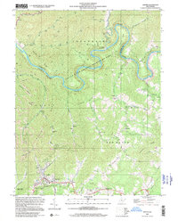
Historical Maps of Ansted Through Time
7 maps found