Old Maps of Loom, West Virginia for Metal Detecting
Plan your next treasure hunt with 16 historic maps of Loom. Find old homesites, ghost towns, trails, and gathering spots that may be lost to time — perfect for identifying promising metal detecting locations.
- Locate forgotten sites: Uncover places like long-lost settlements, abandoned rail lines, or gathering spots.
- Plan better hunts: Use map overlays combined with LiDAR or satellite views to narrow in on historically rich areas.
- Made for detectorists: Thousands of hobbyists use these maps to discover relics, coins, and hidden history.
Use these historic maps to boost your research and find new opportunities beneath the surface of Loom.
Loom, WV maps
(16)- 1891 Map of Romney, 1897 Print
 1891 Romney1897 Print · USGSHampshire, Hardy, and Mineral counties are captured here in the 1880s as the river valleys were transitioning from frontier outposts to connected industrial hubs. Genealogists and historians can trace family locations near Capon Iron Works, Adams Mill, and the many hamlets along Patterson Creek.5 unique versions available
 - 1921 Map of Hanging Rock
 1921 Hanging Rock1921 Print · USGSHampshire County in the early twentieth century is captured here as a landscape of isolated mountain hollows and river settlements. Genealogists can locate dozens of neighborhood landmarks like Milesons Mill, Tearcoat Church, and schools such as Shady Grove School.3 unique versions available
 - 1923 Map of Hanging Rock
 1923 Hanging Rock1923 Print · USGSHampshire County at the start of the twenties is captured here as a landscape of ridge-top schools and valley mills. Researchers can trace the Northwestern Turnpike or locate vanished landmarks like Millesons Mill, Three Churches, and the Baltimore and Ohio RR.4 unique versions available
 - 1948 Map of Cumberland
 1948 Cumberland1948 Print · USGSMid-century Appalachia and the Shenandoah Valley are shown in detail, documenting the industrial and transportation hubs of the tri-state area. Genealogists can trace family roots through settlements like Double Tollgate and Bunker Hill or along the Baltimore & Ohio RR.3 unique versions available
 - 1952 Map of Cumberland
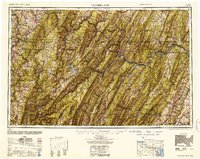 1952 Cumberland1952 Print · USGSThe Potomac Highlands and the Shenandoah Valley are revealed in this early 1950s survey of the Appalachian interior. Researchers can trace the river-and-rail corridors connecting Cumberland, Winchester, and the recreational waters of Deep Creek Lake.
 - 1956 Map of Cumberland, 1966 Print
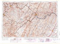 1956 Cumberland1966 Print · USGSThe tri-state Highlands in the mid-1950s show a landscape shaped by coal, timber, and the massive presence of the Baltimore & Ohio RR. Researchers can trace the industrial corridor from Cumberland through the Allegheny Mountains to mountain retreats like Deep Creek Lake.6 unique versions available
 - 1957 Map of Cumberland
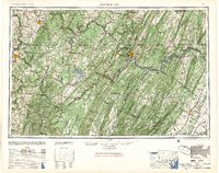 1957 Cumberland1957 Print · USGSThe Potomac River valley and the ridges of the Allegheny Front define this mid-century landscape at the intersection of Maryland, West Virginia, and Pennsylvania. Trace the steam-era rail lines of the Baltimore and Ohio RR or locate rural landmarks like St Stephens Church and Stony River Dam.
 - 1961 Map of Cumberland
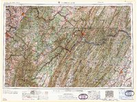 1961 Cumberland1961 Print · USGSThe tri-state highlands of Maryland, West Virginia, and Pennsylvania are shown in the mid-twentieth century as a complex landscape of ridges and river valleys. Researchers can trace the winding Potomac River and find old rail-and-river towns like Cumberland, Keyser, and Morgantown.
 - 1962 Map of Cumberland
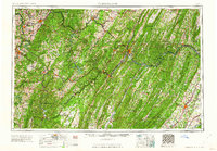 1962 Cumberland1962 Print · USGSThe central Appalachians meet at the height of the mid-century industrial era, showing the rugged topography between Morgantown and Winchester. Genealogists can trace family lands near Fort Necessity or along the vital Baltimore & Ohio RR corridors.
 - 1973 Map of Hanging Rock, 1975 Print
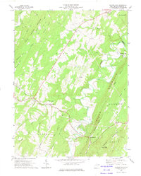 1973 Hanging Rock1975 Print · USGSHampshire County ridge-and-valley life in the early 1970s is captured here as small crossroads communities like Slanesville and Pleasantdale dot the highlands. Researchers can trace historic church sites at Tear Coat Ch and mountain landmarks from Bens Knob to the bends of the Cacapon River.
 - 1983 Map of Winchester, 1985 Print
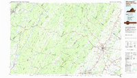 1983 Winchester1985 Print · USGSThe northern Shenandoah Valley and the rugged West Virginia borderlands are captured here in the early eighties. Researchers can trace the rail networks of the B & O RR and find local landmarks like Potomac State College, Three Churches, and the Old Iron Furnace.3 unique versions available
 - 2011 Map of Hanging Rock, 2011 Print
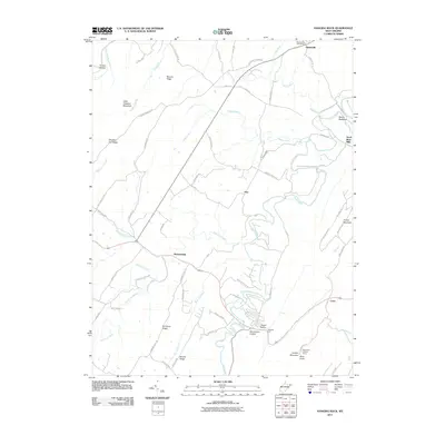 2011 Hanging Rock2011 Print · USGSHampshire County at the start of the 2010s reveals a landscape of high ridges and deep river hollows. Genealogists and local historians can locate the Slanesville Post Office, the Sedan School, and high-elevation landmarks like the Bens Knob Lookout Tower.
 - 2014 Map of Hanging Rock, 2014 Print
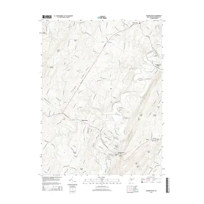 2014 Hanging Rock2014 Print · USGSHampshire County at the beginning of the 2010s shows a landscape of mountain ridges and remote valley settlements. Researchers can trace family history at the Quaker Cem or locate old community centers like North River Mills and Pleasantdale.
 - 2016 Map of Hanging Rock, 2016 Print
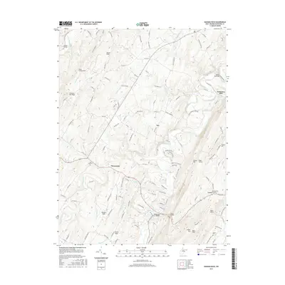 2016 Hanging Rock2016 Print · USGSHampshire County at the turn of the 21st century remains a landscape of high ridges and creek-side settlements. Researchers can trace family sites at Tear Coat Cem, identify landmarks like Devils Backbone, and find old centers at North River Mills and Loom.
 - 2019 Map of Hanging Rock, 2019 Print
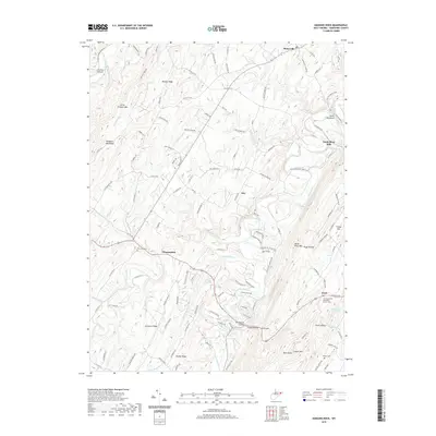 2019 Hanging Rock2019 Print · USGSHampshire County's highland ridges and river gaps are captured here during the late 2010s. Local researchers can locate family sites near Pleasantdale, the old Sedan School, or historic burials at Tear Coat Cem.
 - 2023 Map of Hanging Rock, 2023 Print
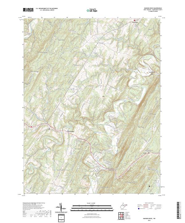 2023 Hanging Rock2023 Print · USGSHampshire County's ridges and valleys are mapped here in the early 2020s, showing a landscape of high summits and deep hollows. Researchers can locate family landmarks like Tear Coat Cemetery or the historic crossroads at North River Mills and Slanesville.
End of results
Showing maps 1-16 of 16
Top cities near Loom
- Shawneeland historical maps
- Lake Holiday historical maps
- Wardensville historical maps
- Gore historical maps
- Capon Bridge historical maps
Frequently asked questions
- What are the different types of historical maps available for Loom?
- What is the oldest map of Loom?
- Where can I purchase historical maps of Loom for my home or office?
- Where can I download high-res historical maps of Loom?
- Are there historical topographic maps available for Loom?
- Is there historical aerial imagery available for Loom?
- Where are historical maps of Loom sourced from?