Old Maps of Harpers Ferry, West Virginia for Academic Research
Study the evolution of Harpers Ferry with 35 high-resolution historic maps. Whether you're teaching, researching, or modeling changes in land use, these maps provide essential visual documentation of urban, environmental, and geographic change.
- Analyze long-term change: Track patterns in development, transportation, and natural features.
- Ideal for environmental or urban studies: Support academic projects with primary historical map data.
- Use in the classroom or lab: Educators and researchers rely on these maps to bring historical context to life.
These maps are a powerful tool for teaching, research, and visualizing how Harpers Ferry has changed over the decades.
Harpers Ferry, WV maps
(35)- 1884 Map of Harpers Ferry
 1884 Harpers Ferry1884 Print · USGSThe confluence of the Potomac and Shenandoah rivers is captured in the mid-1880s, documenting a landscape of strategic gaps and vital transit corridors. Researchers can trace the path of the Chesapeake and Ohio Canal and locate historic river crossings like Conrad Ferry and Castleman Ferry.
 - 1891 Map of Harpers Ferry
 1891 Harpers Ferry1891 Print · USGSThe tri-state borderlands of the Potomac and Shenandoah valleys were a vital hub of transport and trade in the late 1800s. Researchers can trace historic river crossings like Castlemans Ferry, follow the route of the Chesapeake and Ohio Canal, or locate family-named settlements like Oatlands and Taylorstown.
 - 1893 Map of Harpers Ferry, 1898 Print
 1893 Harpers Ferry1898 Print · USGSThe tri-state region of the Potomac and Shenandoah valleys is captured here in the late nineteenth century, showing a landscape defined by water and rail. Trace the historic Chesapeake and Ohio Canal or locate local landmarks like Snyder Mills and Harpers Ferry.7 unique versions available
 - 1908 Map of Middletown
 1908 Middletown1908 Print · USGSThe Potomac River valley in the early twentieth century shows a landscape defined by the convergence of major rail lines and the historic Chesapeake and Ohio Canal. Genealogists and historians can trace the foundations of Eakles Mills, Burkittsville, and Washington Junction.
 - 1910 Map of Antietam
 1910 Antietam1910 Print · USGSMaryland's borderlands and the Potomac River valley are captured here in the early twentieth century. Genealogists can locate family landmarks like Garretts Mill, trace the Chesapeake and Ohio Canal, or find historic sites including Dunkard Church.6 unique versions available
 - 1914 Map of Martinsburg
 1914 Martinsburg1914 Print · USGSThe eastern panhandle of West Virginia comes alive in this survey, showing a landscape defined by the Potomac River and burgeoning rail hubs. Genealogists can trace family footprints through dozens of schools and churches, from Shepherdstown to the Snyder Hill Riverside School and John Browns Cave.3 unique versions available
 - 1916 Map of Martinsburg
 1916 Martinsburg1916 Print · USGSThe Eastern Panhandle of West Virginia comes to life in the years before the Great War, showing a bustling hub of rail activity and river commerce. Genealogists and historians can trace family roots through schoolhouses like Sutton School and old settlements such as Middleway and Summit Point.4 unique versions available
 - 1944 Map of Charles Town
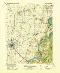 1944 Charles Town1944 Print · USGSThe Lower Shenandoah Valley comes alive mid-century as a hub of rail commerce and river industry. Trace family roots and local landmarks from Charles Town to the lime quarries of Bakerton, or locate rural sites like Zion Church and Skeetersville.
 - 1944 Map of Harpers Ferry
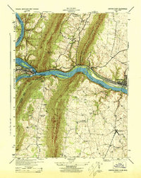 1944 Harpers Ferry1944 Print · USGSThe confluence of the Potomac and Shenandoah rivers is captured in the mid-1940s, showing a landscape defined by mountain gaps and rail corridors. Researchers can trace the Chesapeake and Ohio Canal (Abandoned) or locate local landmarks like Stoker College and Garretts Mill.
 - 1944 Map of Martinsburg, 1964 Print
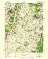 1944 Martinsburg1964 Print · USGSThe West Virginia Panhandle is captured during the mid-1940s, revealing a landscape of vital rail junctions and Potomac River crossings. Genealogists and historians can trace the foundations of Shepherdstown and Martinsburg, alongside landmarks like Martin Chapel and the Newton D Baker General Hospital.
 - 1948 Map of Baltimore
 1948 Baltimore1948 Print · USGSMaryland and Pennsylvania crossroads are captured in the late 1940s, showing a landscape defined by historic rail lines and major military installations. Genealogists can trace family connections in Gettysburg, Westminster, and near the U.S. Naval Academy in Annapolis.2 unique versions available
 - 1953 Map of Charles Town
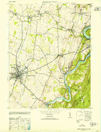 1953 Charles Town1953 Print · USGSJefferson County at mid-century centers on the rail junction of Charles Town and Ranson. Trace family roots at Zion Church or explore the industrial history of Millville and John Browns Cave.
 - 1953 Map of Harpers Ferry
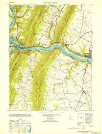 1953 Harpers Ferry1953 Print · USGSHarpers Ferry sits at the heart of this mid-century survey where the Potomac and Shenandoah rivers meet during a period of transition for the region's rail and canal heritage. Trace the grounds of Storer College and locate rural landmarks like Garretts Mill and the C and O Canal.
 - 1954 Map of Baltimore
 1954 Baltimore1954 Print · USGSThe Mid-Atlantic region in the early fifties shows a landscape of growing suburban centers and heavy rail corridors. Trace mid-century transit networks and military landmarks from the Aberdeen Proving Ground to the Gettysburg National Military Park.
 - 1955 Map of Charles Town, 1956 Print
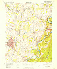 1955 Charles Town1956 Print · USGSThe West Virginia panhandle meets the Blue Ridge in the mid-1950s, where the great river forks converge. Researchers can trace the industrial corridor of the Baltimore and Ohio railroad or locate landmarks like John Browns Cave and Zion Church.2 unique versions available
 - 1955 Map of Harpers Ferry, 1956 Print
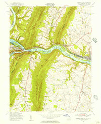 1955 Harpers Ferry1956 Print · USGSThe tri-state junction of West Virginia, Maryland, and Virginia is captured here during the mid-fifties as modern preservation began to take shape. Researchers can trace the Appalachian Trail, the historic Chesapeake and Ohio Canal, and local landmarks like Garretts Mill.2 unique versions available
 - 1956 Map of Baltimore
 1956 Baltimore1956 Print · USGSMid-century Maryland and Pennsylvania are captured here during a period of massive suburban and military growth across the Chesapeake region. Genealogists and historians can trace the rail corridors of the Baltimore & Ohio RR and locate landmarks like Fort McHenry or the Aberdeen Proving Ground.
 - 1957 Map of Baltimore, 1964 Print
 1957 Baltimore1964 Print · USGSMaryland and Southern Pennsylvania are shown during the mid-century expansion of the Baltimore-Washington corridor. Researchers can trace the extensive rail lines of the Baltimore & Ohio RR and locate sites like Fort Detrick and Gettysburg National Military Park.5 unique versions available
 - 1961 Map of Baltimore
 1961 Baltimore1961 Print · USGSMaryland and Pennsylvania are captured at a mid-century peak of industrial and military expansion. Genealogists and historians can trace rail corridors like the Western Maryland Ry or locate regional landmarks such as Camp Detrick and Kent Island.
 - 1969 Map of Harpers Ferry, 1971 Print
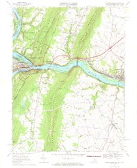 1969 Harpers Ferry1971 Print · USGSThe Potomac and Shenandoah rivers converge at the turn of the 1970s, marking the historic meeting point of Maryland, Virginia, and West Virginia. Trace the remnants of the Chesapeake and Ohio Canal, the route of the Baltimore and Ohio Railroad, and rural family sites like Garretts Mill.3 unique versions available
 - 1978 Map of Charles Town, 1979 Print
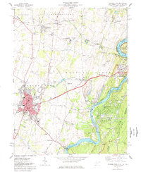 1978 Charles Town1979 Print · USGSEastern West Virginia’s river and rail crossroads come alive in this late-seventies survey of the historic Shenandoah Valley. Genealogists and historians can trace the tracks of the Baltimore and Ohio Railroad and find local sites like Zion Ch Cem and Clips Mill.5 unique versions available
 - 1984 Map of Frederick, 1985 Print
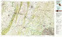 1984 Frederick1985 Print · USGSMaryland's Piedmont and the Potomac River valley are shown here in the mid-eighties as suburban growth began to meet historic rural landscapes. Genealogists and historians can trace the paths of the Baltimore and Ohio RR or locate the boundaries of Antietam National Battlefield and Fort Detrick.
 - 1989 Map of Baltimore
 1989 Baltimore1989 Print · USGSThe Mid-Atlantic corridor in the late eighties is captured here, from the Baltimore harbor to the Blue Ridge foothills. Researchers can trace the sprawling footprints of Aberdeen Proving Ground, the historic grounds of Gettysburg National Military Park, and the winding Susquehanna River.
 - 1996 Map of Harpers Ferry, 2001 Print
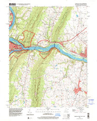 1996 Harpers Ferry2001 Print · USGSThe confluence of the Potomac and Shenandoah rivers remained a vital corridor for transportation and heritage in the 1990s. Genealogists and historians can trace the tri-state boundary while locating landmarks like Garretts Mill, the B & O RR, and Mt Olivet Ch.
 - 1997 Map of Charles Town, 1999 Print
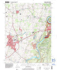 1997 Charles Town1999 Print · USGSCharles Town and its surrounding river gaps are captured here in the late twentieth century, showing a landscape defined by historic preservation and local industry. Researchers can trace the layout of the Charles Town Racetrack, find old rural schools like Page-Jackson Sch, and locate landmarks like John Browns Cave near the river.
Showing maps 1-25 of 35
Top cities near Harpers Ferry
- Leesburg historical maps
- Martinsburg historical maps
- Purcellville historical maps
- Brunswick historical maps
- Charles Town historical maps
- Middletown historical maps
See more
Top neighborhoods of Harpers Ferry
Frequently asked questions
- What are the different types of historical maps available for Harpers Ferry?
- What is the oldest map of Harpers Ferry?
- Where can I purchase historical maps of Harpers Ferry for my home or office?
- Where can I download high-res historical maps of Harpers Ferry?
- Are there historical topographic maps available for Harpers Ferry?
- Is there historical aerial imagery available for Harpers Ferry?
- Where are historical maps of Harpers Ferry sourced from?