Old Maps of Waldeck, West Virginia for Hiking & Exploration
Hike through history with 14 historic maps of Waldeck. Explore old trails, ghost towns, and forgotten backroads — perfect for outdoor adventurers and local explorers.
- Rediscover forgotten places: Map out old mining camps, roads, and footpaths that no longer exist on modern maps.
- Layer with modern tools: Combine with LiDAR or satellite views to plan hikes through historical terrain.
- Made for exploration: Popular among hikers, overlanders, and local history lovers.
Use these maps to find adventure and explore the hidden past of Waldeck.
Waldeck, WV maps
(14)- 1904 Map of Vadis
 1904 Vadis1904 Print · USGSLewis and Doddridge counties appear here at the start of the twentieth century, showing a landscape shaped by narrow creek valleys and small upland farms. Genealogists can trace family footprints in historic settlements like Vadis, Freemansburg, and St.Clare.2 unique versions available
 - 1925 Map of Vadis, 1981 Print
 1925 Vadis1981 Print · USGSCentral West Virginia's highlands in the mid-twenties reveal a landscape of hollows and ridges dotted with one-room schoolhouses and country parishes. Genealogists can trace family roots through numerous sites like St Marys Church, Vadis, and Lower Walnut School.
 - 1927 Map of Vadis
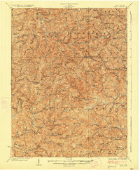 1927 Vadis1927 Print · USGSWest Virginia's central highlands are shown here in the mid-1920s, a landscape defined by isolated farmsteads and valley-bottom settlements. Genealogists and historians can trace dozens of rural school sites and landmarks like St Boniface Church, Alum Bridge, and Freemansburg.2 unique versions available
 - 1949 Map of Clarksburg
 1949 Clarksburg1949 Print · USGSThe upper Ohio River valley and the industrial heart of West Virginia come into focus during this post-war period. Genealogists and researchers can trace the rail corridors of the Baltimore and Ohio and locate centers like Fairmont, Grafton, and Waynesburg.
 - 1956 Map of Clarksburg, 1966 Print
 1956 Clarksburg1966 Print · USGSThe Ohio River valley and the industrial heart of West Virginia are seen here in the mid-1950s as rail and river commerce thrived. Researchers can trace historic transport lines like the Baltimore and Ohio RR and locate ancestral homes in Clarksburg, Moundsville, or Parkersburg.2 unique versions available
 - 1961 Map of Clarksburg
 1961 Clarksburg1961 Print · USGSThe mid-century industrial and river landscapes of West Virginia and Ohio are detailed here, centered on the Ohio River. Researchers can trace the Baltimore and Ohio rail lines connecting towns like Parkersburg, Clarksburg, and Monongah.
 - 1964 Map of Camden, 1965 Print
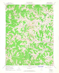 1964 Camden1965 Print · USGSLewis County in the early sixties reveals a landscape shaped by narrow creek valleys and the reach of the local coal and gas industries. Researchers can trace rural lineages through sites like Mt Morris Ch, Pricetown, and the Middle Run Cem along the waters of Leading Creek.2 unique versions available
 - 1982 Map of Clarksburg, 1983 Print
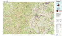 1982 Clarksburg1983 Print · USGSNorth Central West Virginia in the early eighties reveals a landscape deeply connected to its coal and gas resources. Genealogists and researchers can trace family landmarks and historical settlements from Clarksburg to Buckhannon, or locate sites like Quiet Dell and Watters Smith Memorial State Park.
 - 1988 Map of Clarksburg, 1989 Print
 1988 Clarksburg1989 Print · USGSThe central Appalachians are documented in detail during the late eighties, showing the industrial and river-based economies of West Virginia, Ohio, and Pennsylvania. Researchers can trace historic rail routes like the B & O RR and locate river towns from St Marys to Parkersburg.
 - 2011 Map of Camden, 2011 Print
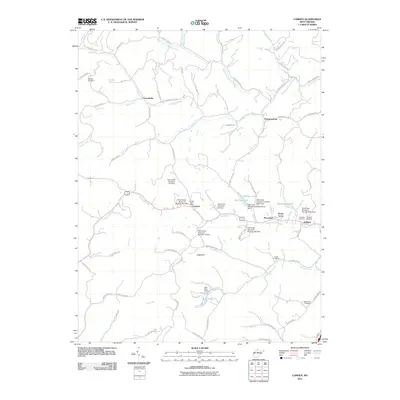 2011 Camden2011 Print · USGSLewis County's hill country is depicted here in the early twenty-first century, showing a landscape shaped by creek-side settlements and modern flood control dams. Genealogists and local historians can locate family burial sites at Woofter Cemetery and Fisher Cemetery, or trace the rural footprint of Camden and Pricetown.
 - 2014 Map of Camden, 2014 Print
 2014 Camden2014 Print · USGSLewis County as it appeared in the early 2010s reveals a landscape defined by its network of runs and historic creek-side settlements. Researchers can trace family sites at Woofter Cem, find landmarks like Mr Hall Spring, and locate the heart of Camden.
 - 2016 Map of Camden, 2016 Print
 2016 Camden2016 Print · USGSLewis County at the start of the twenty-first century maintains its rural character through scattered settlements and family cemeteries. Genealogists and local historians can trace lineage and land use through landmarks like Woofter Cem, Camden, and Waldeck Cem.
 - 2019 Map of Camden, 2019 Print
 2019 Camden2019 Print · USGSLewis County's winding valleys and ridge-top cemeteries are documented here in recent detail. Genealogists and local historians can trace family burial sites at Woofter Cem and Waldeck Cem or explore the drainage of Keith Fork Lake and Lake Riley.
 - 2023 Map of Camden, 2023 Print
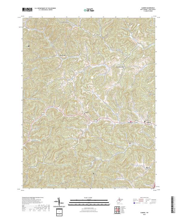 2023 Camden2023 Print · USGSLewis County's rural heartland is meticulously documented here as it appeared in the early 2020s, showcasing the persistent settlements of Camden and Pricetown. Local historians and genealogists can trace family heritage through sites like Woofter Cem and Middle Run Cem along the banks of Fink Creek.
End of results
Showing maps 1-14 of 14
Top cities near Waldeck
- Clarksburg historical maps
- Weston historical maps
- Stonewood historical maps
- Nutter Fort historical maps
- East View historical maps
- Anmoore historical maps
See more
Frequently asked questions
- What are the different types of historical maps available for Waldeck?
- What is the oldest map of Waldeck?
- Where can I purchase historical maps of Waldeck for my home or office?
- Where can I download high-res historical maps of Waldeck?
- Are there historical topographic maps available for Waldeck?
- Is there historical aerial imagery available for Waldeck?
- Where are historical maps of Waldeck sourced from?