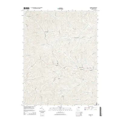
2014 Map of Camden
USGS Topo · Published 2014About this map
Camden and its surrounding rural communities in Lewis County are documented here as they appeared in the early 21st century. The landscape is defined by a dense network of hollows and runs, including Butcher Holw and Sims Run, which dictate the winding paths of roads like Churchville RD and Fink Creek RD. Small crossroads and historic settlements such as Churchville, Freemansburg, and Pricetown serve as the primary anchors for this part of West Virginia.
Find a feature on this map
74 named features on this map. Tap any name to fly to it.
Don’t see what you’re looking for? This feature index may not catch every label — zoom into the map to look around manually.
Map Details
Editions of this 2014 Camden Map
This is the sole edition of this map. No revisions or reprints were ever made.
Other maps of this area

1893 · Buckhannon
USGS Topo · 1:125,000

1893 · Sutton
USGS Topo · 1:125,000

1896 · Buckhannon
USGS Topo · 1:125,000

1897 · Buckhannon
USGS Topo · 1:125,000

1904 · Weston
USGS Topo · 1:62,500

1904 · Vadis
USGS Topo · 1:62,500

1906 · Burnsville
USGS Topo · 1:62,500

1912 · Crawford
USGS Topo · 1:48,000

1914 · Crawford
USGS Topo · 1:62,500

1925 · Burnsville
USGS Topo · 1:62,500