Old Maps of Sunset Court, West Virginia for Genealogy
Trace your family roots with 15 historic maps of Sunset Court. These high-res maps reveal old neighborhoods, homesites, landmarks, and streets — helping you uncover where your ancestors lived and how the area evolved over time.
- Explore historic neighborhoods: Identify where your relatives may have lived in the 1800s or 1900s.
- Compare maps over time: Trace the changes in streets, buildings, and landmarks for multi-generational research.
- Perfect for genealogy & ancestry research: Used by family historians and researchers to map out lineage and migration.
These maps are an incredible resource for exploring your personal connection to Sunset Court's past.
Sunset Court, WV maps
(15)- 1887 Map of Warfield
 1887 Warfield1887 Print · USGSThe West Virginia and Kentucky borderlands come into focus in the late nineteenth century along the winding Tug Fork of Big Sandy River. Genealogists and historians can trace early valley life through sites like Warfield, Chapmansville, and the remote White Post settlement.
 - 1891 Map of Warfield
 1891 Warfield1891 Print · USGSThe Tug Fork valley in the 1880s is captured here at the intersection of Kentucky and West Virginia. Researchers can trace the early Appalachian landscape through riverfront settlements like Warfield and White Post, or find family-named hubs such as Hatfield and Mate.7 unique versions available
 - 1910 Map of Holden
 1910 Holden1910 Print · USGSLogan County’s rugged coalfield landscape is captured here in the early 1900s as development followed the winding Guyandot River. Researchers can trace old family-named settlements like Mc Cloud, Whirlwind, and Halcyon tucked into the hollows.
 - 1912 Map of Holden
 1912 Holden1912 Print · USGSSouthern West Virginia’s coal and rail landscape comes into focus at the dawn of the twentieth century. Genealogists and local historians can trace family-named hollows and early settlements like Holden, Whirlwind, and Chapmanville along the Guyandot River.
 - 1926 Map of Holden, 1957 Print
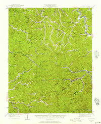 1926 Holden1957 Print · USGSSouthern West Virginia in the mid-1920s shows a landscape of mountain schools and expanding rail networks. Researchers can trace dozens of early rural schools like Dave Dingess School and Hager School alongside rail hubs at Whitman Junction and Holden.
 - 1928 Map of Holden
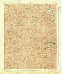 1928 Holden1928 Print · USGSLogan County's coal-country heart is captured here in the late twenties, showing the peak of the mountain rail and mining economy. Researchers can trace the narrow-gauge lines and spurs serving Holden, Verdunville, and Whitman Junction, while locating family landmarks like the Dave Dingess School or Ellis Camp.2 unique versions available
 - 1957 Map of Jenkins, 1974 Print
 1957 Jenkins1974 Print · USGSThe Cumberland Plateau in the mid-twentieth century reveals a complex landscape of winding river valleys and deep-seated industry. Genealogists and historians can trace the development of Hazard, Jenkins, and Pikeville alongside extensive Numerous Oil and Gas Fields and the routes of the Chesapeake & Ohio Railway.
 - 1960 Map of Jenkins
 1960 Jenkins1960 Print · USGSEastern Kentucky and the West Virginia borderlands are captured at a mid-century peak of the coal and rail era. Trace the industrial corridors of the Chesapeake and Ohio RR through mountain hubs like Hazard and Jenkins.
 - 1963 Map of Chapmanville, 1964 Print
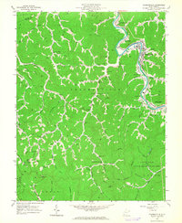 1963 Chapmanville1964 Print · USGSLogan County life in the early sixties centers on the winding Guyandotte River and the bustling Chesapeake and Ohio rail line. Genealogists can trace family landmarks like Highland Memory Gardens, Morning Star Ch, and the Stone Branch Mine.3 unique versions available
 - 1982 Map of Williamson, 1983 Print
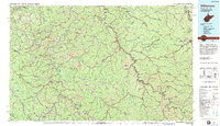 1982 Williamson1983 Print · USGSThe Central Appalachian coalfields of West Virginia and Kentucky come into sharp focus here during the early eighties. Genealogists and researchers can trace the valley rail networks of the Norfolk and Western RR through Matewan, Williamson, and Blackberry City.
 - 2010 Map of Chapmanville, 2010 Print
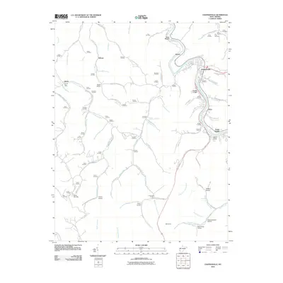 2010 Chapmanville2010 Print · USGSCovers Sunset Court, including Chapmanville, Godby Heights, and other nearby areas
 - 2014 Map of Chapmanville, 2014 Print
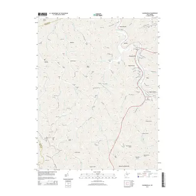 2014 Chapmanville2014 Print · USGSCovers Sunset Court, including Chapmanville, Godby Heights, and other nearby areas
 - 2016 Map of Chapmanville, 2016 Print
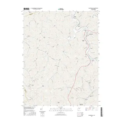 2016 Chapmanville2016 Print · USGSCovers Sunset Court, including Chapmanville, Godby Heights, and other nearby areas
 - 2019 Map of Chapmanville, 2019 Print
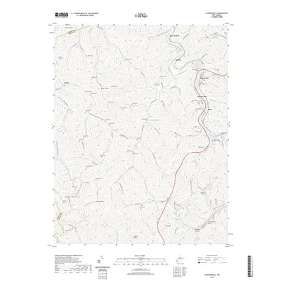 2019 Chapmanville2019 Print · USGSCovers Sunset Court, including Chapmanville, Godby Heights, and other nearby areas
 - 2023 Map of Chapmanville, 2023 Print
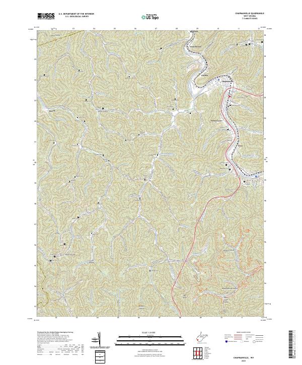 2023 Chapmanville2023 Print · USGSLogan and Lincoln County borders meet in this river-valley landscape during the early 2020s. Genealogists can trace family burial sites across dozens of locations like Lily Cem, Dingess Cem, and the expansive Highland Memory Gardens.
End of results
Showing maps 1-15 of 15
Top cities near Sunset Court
- Madison historical maps
- Logan historical maps
- Chapmanville historical maps
- Holden historical maps
- Man historical maps
- Danville historical maps
See more
Frequently asked questions
- What are the different types of historical maps available for Sunset Court?
- What is the oldest map of Sunset Court?
- Where can I purchase historical maps of Sunset Court for my home or office?
- Where can I download high-res historical maps of Sunset Court?
- Are there historical topographic maps available for Sunset Court?
- Is there historical aerial imagery available for Sunset Court?
- Where are historical maps of Sunset Court sourced from?